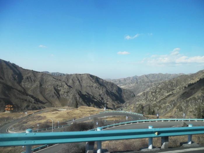
Published: 28 August 2026 | Author: Karl Huang
The Great Wall doesn’t end at Jiayuguan — here’s the Xinjiang part
Most visitors to China treat Jiayuguan as the full stop of the Great Wall. I did too, until a driver outside Hami pointed at a low dirt ridge running dead straight into the gobi and said, “That’s the wall. Two thousand years old.” He wasn’t pulling my leg. The Han dynasty didn’t build a tourist backdrop; it built a working frontier, and a stretch of that frontier runs through eastern Xinjiang. This guide comes from two trips I made along the Hami corridor, one in late March and one in early November, specifically to see rammed-earth wall you can still walk on.
I’m not an archaeologist. What I am is someone who has stood on the thing, asked the local relic-station staff awkward questions, and got stuck in sand once. The details below are what I learned the hard way, plus the parts historians agree on. Where I’m guessing, I say so.
At a glance: what the Han frontier system looks like
| Question | Short answer | Why it matters |
|---|---|---|
| What you actually stand on | Low rammed-earth ridges, 1–3 m tall | Not the tall brick wall of the east |
| When it was built | Han dynasty, roughly 2nd century BCE | Reed and willow layers hold the tamped earth |
| Where in Xinjiang | Hami corridor: Wubao, Yiwu, Barkol | Barkol also keeps a Han garrison ruin |
| Best light for photos | October to April, low sun | Summer haze flattens the relief |
| Effort and risk | Easy walk, very rough ground | Bring water; there is no shade |
Walking the rammed-earth wall near Hami
The first time I found a proper wall segment was south of Hami city, out toward the Wubao area. What hits you is how unimpressive it looks from the road — a weather-beaten bank, the colour of the surrounding loess, easy to mistake for a natural rise. Walk up to it and the construction tells the story: horizontal seams every fifteen centimetres, the ghost of reed mats pressed into the clay. That’s the Han building method, layer of damp earth, layer of desert brush, tamped hard, repeated until the wall stood. The reeds rot and bind the soil; two millennia later the line still reads as a wall. I’d expected something taller. The reality is humbling — a frontier built to be seen from horseback, not from a drone.
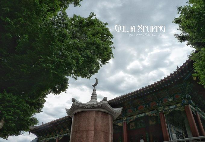
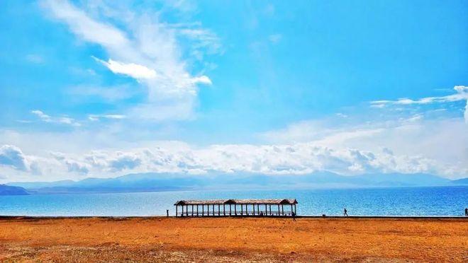
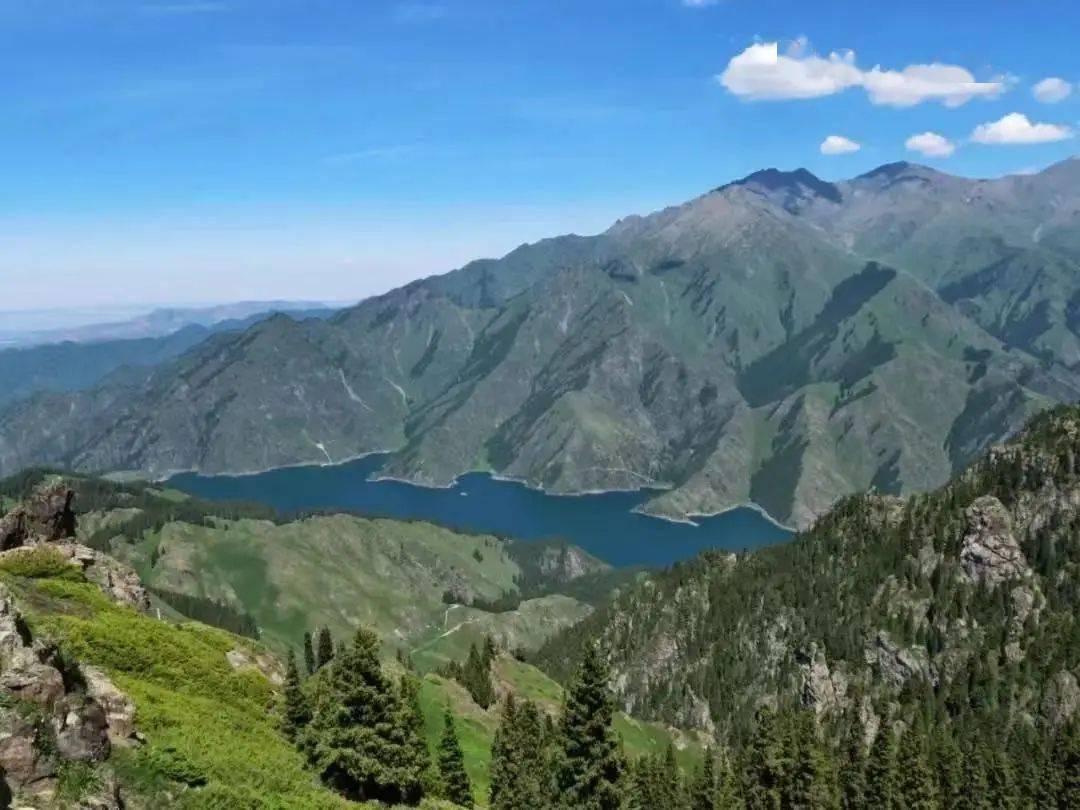
I spent an hour just following one stretch with my hand on the surface. The wind out there has a constant edge, and you understand why the garrison troops hated posting here. A few kilometres north the ground opens into the Barkol grassland, green and cold, and the contrast is the whole point of the frontier: hold the wall, keep the route, live off the pasture behind it.
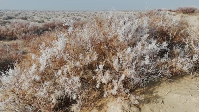
If you want the loneliest version, drive the Hami–Barkol road (the G335) and watch the verges. Beacon mounds — rounded, collapsed cones of the same tamped earth — sit at roughly evenly spaced intervals, sometimes with a fragment of connecting wall between them. Our second trip, in November, gave us frost on the grass and a wall ridge that threw a long shadow. That shadow is the only time the structure looks monumental. The distances deceive: thirty kilometres of track takes longer than a hundred of expressway, and the light fades fast once the sun drops behind the ridge.
Getting to the wall segments
Hami is the logical base. It sits on the Lanzhou–Xinjiang high-speed line, so you can reach it from Urumqi in a few hours by train, and there are flights from major cities. From Hami, the eastern gateway of Xinjiang you’ll need a car — the wall remnants are scattered and none of them has a ticket booth or a car park.
We rented a 4×4 in Hami and treated the Barkol loop as a day drive. The sealed road to Barkol is fine; the last few kilometres to any specific remnant are graded track, and after rain they turn to grease. If you’re coming from the north, Barkol grassland makes a natural anchor, and the Han garrison ruins there are a short hop from the town. For the southern segments, Yiwu County, Hami’s green corner in the east, is the closest supply point.
When the desert light is right
Skip summer if photography matters to you. The basin heats up, dust hangs in the air, and a three-metre wall becomes a flat brown smear. Late autumn and winter are brutal but beautiful: the sun stays low, the rammed earth picks up a red-gold tone, and your shadow does half the compositional work. March can work too, before the wind season peaks in spring.
One practical note — the cold out on the open ground is sharper than the city temperature suggests. On the November trip I wore a down jacket at noon and was still cold when the wind swung around. Plan for that, not for the forecast you read in Hami.
Where we slept between the oasis and the dunes
Hami city has the full range, from indifferent business hotels near the station to decent mid-range places in the new district. We stayed in the city both times and drove out, which I recommend over camping near the wall — there’s no water, no signal in spots, and the relic bureau would rather you didn’t pitch a tent on a 2,000-year-old structure. If you run the Barkol loop, Barkol town itself has basic hotels; book ahead in summer when the grassland draws domestic crowds. Don’t expect heating standards you’d get down east, even in newer builds.
Fuel stops: what to eat out east
The Hami corridor feeds you better than the empty landscape implies. The famous local product is the Hami melon — sweet, fragrant, worth buying from a roadside stall rather than a supermarket. Around Barkol you’ll eat hearty northern fare: hand-pulled laghman noodles, mutton boiled plain and eaten with onion, and chewy nang bread that survives a day in the car. We ate at a small Hui-run canteen in Barkol town where the owner laughed at our attempt to order in Mandarin and just brought three dishes. Best meal of either trip. Carry cash, though — the smaller places don’t always take a card, and the one time ours did the machine was down and we settled in coins.
Things I wish I’d known before driving out
First, the wall is not signposted. You will not see a brown tourist sign saying “Great Wall.” You find it by knowing roughly where to look and then getting out and walking. A downloaded offline map with the Hami–Barkol track marked is worth more than any guidebook page.
Second, respect the physical remains. The tamped earth crumbles if you climb it, and several segments sit inside protected relic zones where driving onto the line itself is off limits. Stay on the track, view from the verge. The local relic station in Hami can tell you which segments are open and which are fenced; a five-minute conversation saved us a pointless 40-kilometre detour.
Third, fuel and water. Stations thin out fast once you leave the G30 expressway. We carried an extra jerry can on the Barkol loop and were glad of it when a station was closed for lunch — a real thing out here.
A half-day and a full-day plan
Half-day, no car swap: leave Hami after breakfast, drive south toward the Wubao-side remnants, walk one or two wall ridges, back for a late lunch. Four to five hours, easy.
Full day: Hami to Barkol via the G335, stop at a wall-and-beacon pair about halfway, reach Barkol for the garrison ruins and grassland, lunch in town, return via Yiwu County to loop back. That’s a long day — 300-plus kilometres of mixed road — but it strings together the three best surviving pieces of the Han frontier in one run. If you want the deeper Silk Road context before you go, the Silk Road timeline we wrote helps place the wall in the wider defence system.
Questions people actually ask
Is the Xinjiang part of the Great Wall real, or restored? Real, and barely touched. Unlike the rebuilt sections near Beijing, these ridges are original Han tamped earth, weathered but genuine. That’s also why they look modest.
Can I see it without a car? Hardly. The remnants are dispersed and rural. At minimum hire a driver in Hami for half a day.
How is this different from the beacon towers post? Good question. The standalone Han beacon towers are the signal posts; this is the connecting wall itself, the physical line between them. Same frontier, different object.
Is it worth the trip if I only have a week in Xinjiang? Probably not as a standalone goal. Pair it with Hami and Barkol as an eastern-corridor day and it earns its place. As a detour from Urumqi or Turpan, it’s a long way for a low dirt bank.
A straight-talk disclaimer
I’m a travel writer, not an archaeologist, and the exact dating of loose wall ridges is work for people with trowels and permits. The Han attribution of the Hami corridor frontier is the consensus view among Xinjiang relic authorities, but individual segments vary, and some “wall” you find may be later (Tang or Qing) reuse of the same line. Treat the experience as real and the labelling as approximate. Conditions, access roads, and which sites are open change; confirm with the Hami cultural-relics bureau before you set out, especially if you’re driving near any fenced or border-adjacent zone.
About the author: Karl Huang has driven and trained across Xinjiang for over a decade, with a soft spot for the unglamorous eastern corridor most itineraries skip. He writes for travellers who’d rather stand on something real than queue for a restored gate.