Published: July 14, 2026 | Author: Karl Huang
A few summers ago I almost skipped Tianshan Grand Canyon. I had three days in Urumqi and a long list of headline sights, and this red-rock valley an hour south of the city felt like a side note. My friend Ayxan, who grew up in Banfanggou town at the canyon mouth, put it plainly: “You flew halfway across the world and won’t walk our own mountain?” We left the next morning at six, and I still think about that day when people ask me what Xinjiang actually feels like. This Tianshan Grand Canyon hiking guide is built from that trip, plus a second visit the following autumn, with the practical details I wish someone had handed me before I went.
Why you can trust this Tianshan Grand Canyon guide
I am not a tour operator and I did not receive anything for writing this. Ayxan and I paid our own entry fees (roughly 60–75 yuan each), bought our own food in the valley, and slept in a family-run guesthouse. The distances and road names below come from park signage and the Urumqi tourism information desk; where a price or a schedule can shift between seasons, I say so instead of guessing. My goal is to save you the small mistakes I made, like wearing sneakers on a trail that turns to scree after the first ridge.
Tianshan Grand Canyon at a glance
| Feature | What to expect |
|---|---|
| Location | Urumqi County (乌鲁木齐县), about 50 km south of Urumqi city center |
| Elevation | Valley floor near 2,000 m; surrounding ridges climb past 3,000 m |
| Entry fee | Around 60–75 yuan per person (confirm at the gate) |
| Best window | Mid-June through early October |
| Hike length | 3 hours for the easy loop, a full day for the high trail |
| Getting there | Car or taxi from Urumqi, roughly 1.5–2 hours south |
| Mobile signal | Good near the entrance, patchy once you climb into the gorge |
Our two days on the trail
We parked where the road ends and the boardwalk begins, then walked straight into a narrowing cut of rust-colored sandstone. Ayxan told me the rock was laid down millions of years ago and later lifted by the same forces that raised the whole Tianshan range. I am no geologist, but standing under a wall that leaned a hundred meters overhead, the scale did the explaining.
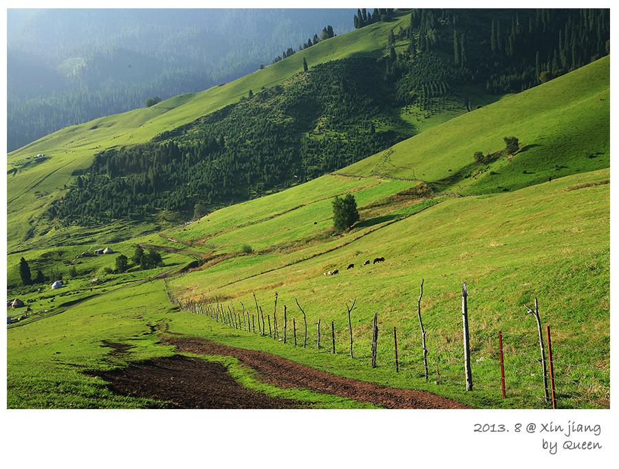
The first hour is gentle. The path follows a creek fed by snowmelt, cold enough that I filled a bottle and regretted it by lunch. Spruce trees — the local Picea schrenkiana, what people here call snow-ridge spruce — line the banks and smell like a sauna when the sun hits them. Around the second bend the easy loop splits from the climb. We took the climb.
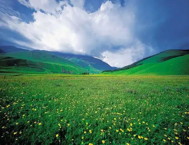
By late morning we reached a meadow called Swan Lake by the locals, though I saw more yaks than swans. A Kazakh family had set up a yurt and waved us over for milk tea. Ayxan translated as the herder’s wife pressed a bowl into my hands; it was salty, warm, and exactly what I needed. We sat on a log, ate flatbread, and watched clouds pour over the ridgeline. That unplanned half hour is the part of the trip I would repeat before any of the “views.”
On the autumn visit the same meadow had turned gold. The larches were the color of a struck match, and the air was sharp enough that I kept my gloves on all day. Different trip, same canyon, and I would argue the shoulder season is the better one if you can handle cold mornings.
How to get to Tianshan Grand Canyon
The canyon sits south of Urumqi along the road that eventually runs toward Bayinbuluke. Most visitors hire a car or use a rideshare for the day; the drive is 1.5 to 2 hours depending on traffic leaving the city. If you would rather not drive, the high-speed rail to Urumqi gets you to the city first, and from there you arrange a driver. Public buses run but they are slow and leave early, so check the current timetable at the Urumqi south bus station rather than trusting old blog posts.
One thing I learned the hard way: there is no fuel or cash machine past Banfanggou. Fill the tank and pull out enough yuan before you leave the city. Card and Alipay work at the gate, but the valley guesthouses often deal in cash.
Best time to hike
June through early October is the safe bet. July and August bring the longest days and the wildflower bloom, but also the most visitors and the occasional afternoon thunderstorm that rolls off the peaks without warning. September is my pick: cool, clear, and quiet after the school holidays. The larches go gold in late September and hold through the first week of October.
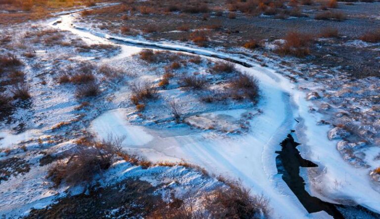
Winter closes most of the upper trail under snow and ice, and the access road can be shut after a heavy fall. I have not hiked it in deep winter and would not advise a first-timer to try without a local.
Where to stay
Most people base themselves in Urumqi and do the canyon as a long day trip, which is entirely reasonable. If you want the morning light on the rock and the chance to walk with no one else around, stay in or near Banfanggou. We booked a small guesthouse run by a Uyghur family for about 200 yuan a night; basic, heated, and generous with the breakfast. A few yurt camps open inside the valley in summer, but they fill fast on weekends, so call ahead or go midweek.
Prefer a cushier bed? Sleep in Urumqi and pair the canyon with a calmer walk at Nanshan Pasture, another southern escape that needs less effort for similar meadow-and-mountain scenery.
What to eat
The valley kitchen is simple and good. Expect hand-pulled laghman noodles, samsa baked in a tandir oven, and mutton pilaf cooked in a wide pan. At our guesthouse dinner was a single shared plate of polu with carrots and raisins, plus endless cups of brick-tea. Bring snacks for the trail; the only food inside the park is at the entrance shops, and prices climb with the altitude.
If you head back to Urumqi the same day, save your appetite for the night-market skewers. The canyon works up an appetite that a street-full of chuanr fixes nicely.
Practical tips before you go
- Wear proper shoes. The easy loop is fine in trainers, but the climb has loose stone and a couple of stream crossings.
- Carry water and a layer. The sun is strong at 2,000 m and the shade is cold; I packed a wind shell and used it.
- Watch the sky. Storms build fast over the ridge. We turned back once we heard distant thunder and were off the high trail within twenty minutes.
- Mind the altitude. The floor is modest, but if you just flew in from sea level, read up on altitude sickness and take the first day easy.
- Tell someone your plan. Signal drops past the first ridge, so don’t rely on your phone to bail you out.
Sample itineraries
One-day version
Leave Urumqi by 7:30. Walk the easy loop and the lower climb until noon, eat at the entrance, and drive back by late afternoon. You see the canyon without committing to a night out.
Two-day version (what I did)
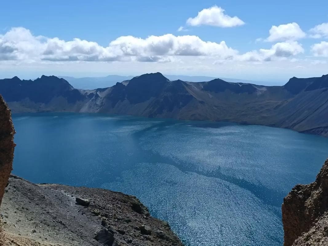
Day 1: arrive mid-morning, hike the full climb to the meadow, stay in Banfanggou. Day 2: short sunrise walk, visit a yurt for milk tea, then return to the city. Add Tianchi Lake (Heaven Lake) on the way back if you have the energy; it sits in the same range and makes an easy half-day add-on.
Frequently asked questions
Is Tianshan Grand Canyon hard to hike?
The main loop is moderate and doable for most fitness levels. The upper climb is harder because of the slope and loose rock, but nothing technical. We saw a seventy-year-old local strolling the loop without trouble.
Can I visit without a guide?
Yes. Trails are marked and the entrance gives a simple map. A guide helps with the language and the yurt visits, not with navigation.
Is it worth it if I am already going to Tianchi or Koktokay?
They are different experiences. Koktokay is wider and wilder; Tianchi is a single dramatic lake. This canyon gives you the red rock, the forest, and the meadow in one walk, close to the city. I would not skip it to save a day.
How cold does it get?
Summer nights in the valley drop near 10°C, and the high trail stays cool all day. Autumn mornings touched freezing on my October trip. Pack accordingly.
Disclaimer
This guide is based on personal visits in 2025 and is meant as a planning aid, not a substitute for current official information. Entry fees, opening dates, road conditions, and weather change by season and by year. Always confirm details with the Urumqi tourism office or the park gate before you travel, and assess your own fitness and safety before any hike. The author and publisher are not liable for changes, injuries, or losses incurred while following this advice.
About the author
Karl Huang is a travel writer who has spent four seasons crossing Xinjiang by rail, road, and foot. He focuses on practical, first-hand guidance for independent travelers and believes the best trips are the unplanned ones — like the milk tea on a Tianshan log.