Published: July 27, 2026 | Author: Alan Whitfield, retired field geologist and independent travel writer
I spent thirty years studying sedimentary basins for a living, and I can tell you that most visitors to northern Xinjiang drive across one of the world’s great examples without ever hearing its name. If you have been to Kanas, Sayram, the Urho Ghost City, or Tianchi, you were standing on the rim of it. This Junggar Basin travel guide pulls those famous stops into a single picture: a bowl of desert and steppe the size of a mid-sized European country, ringed by the Altai to the north and the Tian Shan to the south. I drove the full loop around it twice, once in September 2024 and again in June 2025, and this article is built from those two trips: my fuel receipts, my hotel registrations, and a notebook full of half-legible scribbles.
A quick note on why the geography matters for planning. The basin explains why northern Xinjiang’s roads run the way they do, why the oil towns exist, and why the weather changes so abruptly between the flat middle and the mountain rims. Once you see the loop as a circuit around a bowl, the itinerary almost writes itself.
Quick reference: Junggar Basin travel at a glance
| Item | Details |
|---|---|
| Location | Northern Xinjiang, between the Altai Mountains and the Tian Shan |
| Size | Roughly 380,000 square kilometers, China’s second largest basin |
| Main hubs | Urumqi (southeast rim), Karamay (west rim), Burqin and Altay (north rim) |
| Full loop distance | About 1,800 to 2,200 km by road depending on detours |
| Time needed | 6 to 9 days for a comfortable circuit |
| Best months | Late May to June, and September |
| Key sights on the rim | Tianchi, Urho Ghost City, Colored Beach at Burqin, Ulungur Lake, Beiting ruins at Jimsar |
| Center of the basin | Gurbantunggut Desert, China’s second largest |
How I ended up circling the basin twice
The first trip was almost an accident. In September 2024 my wife and I rented a car in Urumqi with a loose plan to see Kanas and come straight back. Somewhere past Shihezi, watching the Tian Shan shrink in the mirror and a flat grey-green plain open up to the north, I did what geologists do and started narrating the landscape. She tolerated about twenty minutes of this before suggesting that if the basin was so interesting, we should simply drive around the whole thing. So we did. Eight days, no bookings, a lot of petrol station coffee that tasted like warmed cardboard.
What surprised me was not the scenery, which I expected to be good, but the variety packed into a single circuit. In one week we stood in a wind-carved badland at Urho, ate smoked fish by a lake full of gulls at Fuhai, walked through Tang dynasty rubble at Jimsar, and watched cloud shadows cross an alpine lake at Tianchi. Each stop sits on a different edge of the same bowl. The June 2025 return trip was deliberate: I wanted to see the basin’s brief green season, when rain and meltwater put a haze of grass over ground that looks dead by August.
The loop, stop by stop
Here is the circuit as I would drive it today, counterclockwise from Urumqi. Distances are road distances from my own odometer, rounded.
Urumqi to Tianchi (about 70 km). Tianchi sits in the Bogda range on the basin’s southeastern rim. It is the most developed stop on the loop and the shuttle bus system inside the scenic area is compulsory. Go early on a weekday if you can. The view from the lake back down toward the basin floor, 1,500 meters below, is the best single illustration of the bowl shape you will get anywhere.
Urumqi to Karamay via Shihezi (about 390 km). This stretch follows the southern rim on fast expressway. Shihezi is a tidy agricultural city built by the bingtuan corps in the 1950s and makes a reasonable lunch stop. Karamay is the oil capital of the basin, and I have written elsewhere about why the oil city itself deserves half a day, mostly for the river walk at night and the frank, well-done petroleum museum. The crude here comes out of Jurassic and Triassic rocks, some of it so shallow that the first well in 1955 struck oil at a depth most modern rigs would consider a warm-up.
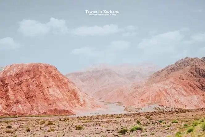
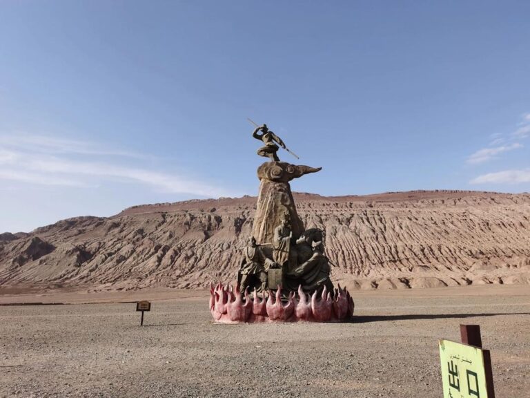
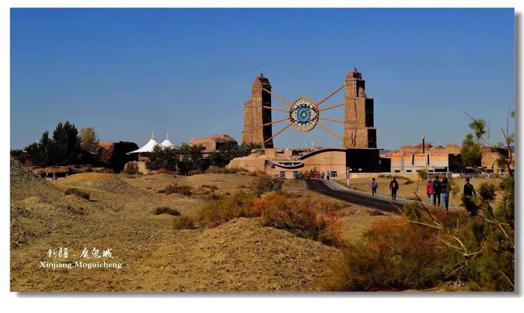
Karamay to Urho (about 100 km). The Urho Ghost City is the basin’s most photographed badland, a field of wind-planed sandstone towers that turns copper-colored an hour before sunset. I covered the geology in detail in my Ghost City yardang guide, so the short version: come at 7 pm, not noon, and skip the dinosaur statues near the gate without guilt. Entry with the shuttle came to just under 100 CNY per person in 2025.
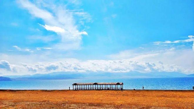
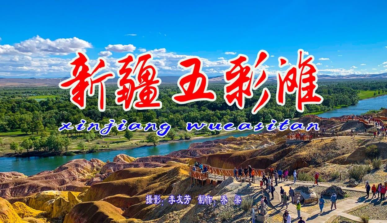
Urho to Burqin (about 260 km). Now you are running up the western rim with the Gurbantunggut dunes somewhere off to your right. Burqin is the gateway town for Kanas, but its own attraction, the Colored Beach on the Irtysh River, is worth an evening. The Irtysh is a geographic oddity worth savoring: it is the only river in China that eventually reaches the Arctic Ocean. Every drop draining the basin’s north rim is bound, in theory, for the Kara Sea.
Burqin to Fuhai and Ulungur Lake (about 150 km). Ulungur is a terminal lake, meaning its water arrives but never leaves except by evaporation, which is textbook basin hydrology. It is also where I ate the best fish of either trip, a whole smoked one bought from a woman at the Haishang Kuoertai jetty for 60 CNY. I wrote up the practical details in the Fuhai and Ulungur Lake guide.
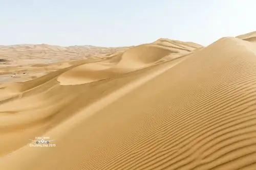
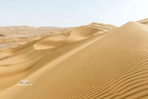
Fuhai to Jimsar via the desert highway (about 450 km). The S21-adjacent routes let you cut across the basin’s eastern side, skirting or crossing the Gurbantunggut Desert. Unlike the shifting sands of the Taklamakan, these dunes are mostly fixed by vegetation, which sounds tame until you are standing among them in a wind that has not paused since Kazakhstan. My full notes are in the Gurbantunggut Desert article. Jimsar, on the southeast rim, holds the Beiting ruins, a Tang dynasty garrison city that controlled the north side of the Tian Shan for two centuries.
Jimsar to Urumqi (about 160 km). An easy final leg, closing the circle.
If you have already read my piece on crossing the Tarim Basin, think of this loop as its friendlier northern sibling: shorter distances, cooler air, more water, and far more places to sleep.
Getting there and around
Urumqi is the obvious start point, with the region’s main airport and rail hub. From there you have three realistic options. A self-drive rental cost me between 320 and 380 CNY per day for a compact SUV, plus fuel at roughly 8 CNY per liter; the roads are excellent and navigation apps work fine. A hired car with driver runs 800 to 1,000 CNY per day and removes the paperwork headache, since foreign licenses are not valid in China and you would need a temporary Chinese permit, which takes a day or two to arrange in Urumqi with a notarized translation. Third, trains and buses connect Urumqi, Shihezi, Karamay, and Altay city, but they will not get you to the scenic spots themselves, so budget for taxis at each node.
One warning from experience: distances between fuel stations on the cross-basin roads can exceed 150 km. Fill up when you can, not when you must. Petrol stations in Xinjiang require the driver to register with ID, and only the driver may be in the car while fueling. It adds five minutes per stop. Plan for it and it stops being annoying.
Best time to go
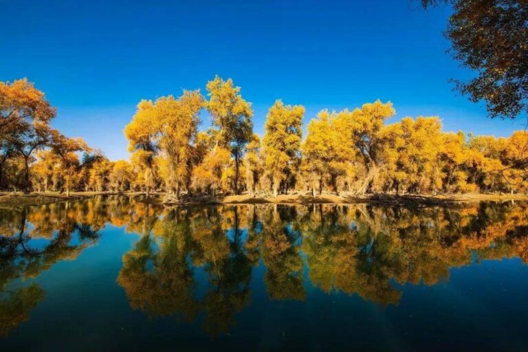
The basin floor is a place of extremes. July afternoons in the interior pass 35 degrees, and January nights drop below minus 25, with Fuhai and the north rim colder still. My two visits bracketed the sweet spots. Late May and June give you green steppe, snow still on both mountain rims, and daylight past 10 pm local habit. September gives golden poplars along the Irtysh, harvest markets, and stable dry weather. I would avoid mid-July through August, when the basin shimmers and every viewpoint involves a queue, and I would only attempt a winter loop with a local driver, snow tires, and low expectations of opening hours. The one winter argument is Urho under snow, which photographers rate highly, and the frozen fishing festival at Ulungur in late January.
Where to stay
This is not a wilderness expedition; you sleep in real beds. Karamay has the best hotels on the west rim, with international-style rooms at 250 to 400 CNY that registered me as a foreigner without a phone call, which in smaller Xinjiang towns is never guaranteed. Burqin has a full tourist infrastructure thanks to Kanas traffic. Fuhai is simpler: my lakeside twin room in June 2025 cost 180 CNY and the front desk needed twenty minutes and one phone call to figure out foreigner registration, done with good humor. Shihezi and Jimsar both have adequate business hotels around 200 CNY. Book ahead only for June weekends and the first week of October; otherwise I walked in everywhere.
What to eat on the loop
The north rim is Kazakh country, and the food follows. In Fuhai and around Ulungur the thing to order is fish: smoked, grilled, or in a milky soup that tastes far better than it photographs. In Kazakh households and yurt camps you may be offered beshbarmak, boiled meat over wide noodles, eaten communally. Karamay, being an oil town of transplants, does a genuinely good big plate chicken; the version I had on Youyi Road fed three of us for 88 CNY. Shihezi grows much of the basin’s produce, so its night market fruit is absurdly cheap in September. And everywhere, there is laghman and there are kebabs. I have yet to find a bad kebab within 50 km of the basin rim, though I accept this may say more about my standards after a long drive.
Practical tips from two loops
Carry cash for small-town fruit stands, though even yurt camps take WeChat Pay now. Keep your passport on your body, not in the boot; checkpoints are fewer than in southern Xinjiang but they exist, and the process is quick when your documents are reachable. Time works on two clocks here: official Beijing time and informal local time two hours behind, so confirm which one a driver or hotel means. Mobile signal held up on all main roads on China Mobile, and died completely in the desert interior, so download offline maps. The basin’s wind is not a joke; I watched a car door bend backward at a viewpoint near Urho because its owner opened it casually. Park nose into the wind and open doors with both hands. Finally, if you plan to continue west toward the border at Alashankou or north into the Altai, build in slack days. Distances here punish rigid schedules.
A 7-day sample itinerary
Day 1: Arrive Urumqi, collect car or meet driver, afternoon at the Xinjiang Regional Museum for context.
Day 2: Tianchi in the morning, then drive to Shihezi or push on toward Karamay.
Day 3: Karamay: petroleum museum, river walk, then Urho Ghost City for sunset. Sleep in Urho or Karamay.
Day 4: Drive to Burqin. Colored Beach at dusk, fish dinner on the river street.
Day 5: Morning drive to Fuhai. Ulungur Lake, jetty fish, lakeside night.
Day 6: Long cross-basin drive southeast, Gurbantunggut edge stops, sleep in Jimsar.
Day 7: Beiting ruins early, return to Urumqi by mid-afternoon.
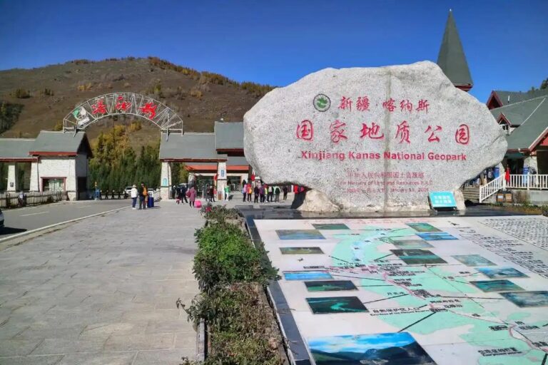
With two more days, add Kanas from Burqin. With a strong interest in geology, add the Dushanzi Grand Canyon on the southwestern rim; my Dushanzi guide covers it.
FAQ
Is the Junggar Basin itself a tourist attraction?
Not as a single ticketed site, no. It is the geographic frame that connects Tianchi, Karamay, Urho, Burqin, Ulungur, and Jimsar. You visit the rim stops; the basin is the story that links them.
Can foreigners do this loop independently?
Yes. Northern Xinjiang requires no special permit for these areas as of my June 2025 trip. The practical hurdles are the driving permit and hotels that accept foreigners, both solvable with planning.
How does it compare to the Tarim Basin in the south?
The Junggar loop is shorter, cooler, greener, and easier, with towns every couple of hours. The Tarim is bigger, harsher, and more dramatic. If it is your first Xinjiang road trip, start north.
Is the Gurbantunggut Desert safe to visit?
Its edges, yes, from the highway and marked stops. Do not drive off-road into the interior; the fixed dunes hide soft sand, there is no signal, and recovery services are far away.
Do I need to speak Chinese?
It helps a great deal outside Karamay and Urumqi. Translation apps carried me through every hotel registration and menu, but download offline language packs first.
Disclaimer
Prices, opening hours, and permit requirements in this article reflect my visits in September 2024 and June 2025 and may have changed. Road conditions and fuel availability vary with season and weather. Verify current requirements with official sources, your hotel, or a licensed local agency before traveling. This article contains no sponsored content.
About the author: Alan Whitfield spent 31 years as a field geologist working on sedimentary basins in the North Sea, Oman, and Central Asia before retiring to travel and write. He has visited Xinjiang four times since 2023, travels entirely at his own expense, and accepts no payment or hosted trips from any operator or tourism board. He still cannot pass a road cutting without stopping.