Published: November 4, 2026 | Author: Karl Huang
Most first-time visitors treat Xinjiang route planning like filling a bucket. They list the places they have heard of and try to string them together on a map. That approach collapses within two days. Xinjiang covers more ground than Western Europe, and its two population belts sit on opposite sides of a desert the size of Nebraska. The route you draw is decided less by a wish list and more by a plain fact: there is a north, a south, and the long line that joins them. Get that shape right and the rest of the plan falls into place.
The shape of Xinjiang most planners get wrong
When we drove the northern arc for the first time in 2018, we imagined the region as one continuous ribbon of road. It is not. The Tianshan range splits Xinjiang into two crescents, and a void sits between them. The north holds Urumqi, Turpan, Korla, the Ili valleys, and the forests of Altai. The south wraps the rim of the Tarim Basin: Aksu, Kashgar, Hotan, and the Pamir edge at Tashkurgan. In the middle lies the Taklamakan, roughly 330,000 square kilometres of shifting sand with almost no towns. So the region is not a country you cross; it is two coastlines around a sea of dunes.
That geography is the whole game. Every sensible plan starts by admitting you cannot sample both coasts and the open water in a single short trip. You pick a side, or you commit the time to close the ring.
What Xinjiang route planning really means: three shapes
There are exactly three shapes a trip can take. The first is the north loop. It runs Urumqi to Turpan, east to Korla, north through the Tianshan to Yining, Nalati and Sayram, then on to Kanas, Hemu and Baihaba before swinging back to Urumqi. This is the classic eight to twelve day northern circuit, and it is what most people picture when they say Xinjiang.
The second is the south branch. From Urumqi you drop south through Turpan and Korla, then follow the Tarim’s northern rim: Kuqa, Aksu, Kashgar, and the Pamir spur to Tashkurgan. This is Silk Road country, oasis towns, and high plateau.
The third is the full loop, which simply means doing both and finding a way to close the line. The catch is in the word “close”, and it is where almost every over-ambitious plan breaks.
Why the loop doesn’t have a middle
You cannot cut straight across the centre. The desert is real, and until recently the only way to join the two coasts was to retrace your steps along the G3012 expressway from Kashgar back east to Korla, then turn north. That is not a loop; it is an out-and-back with a long repeat.
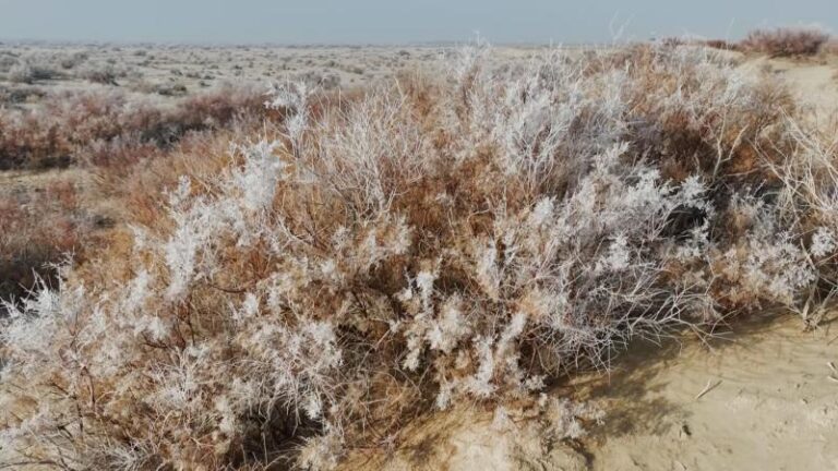
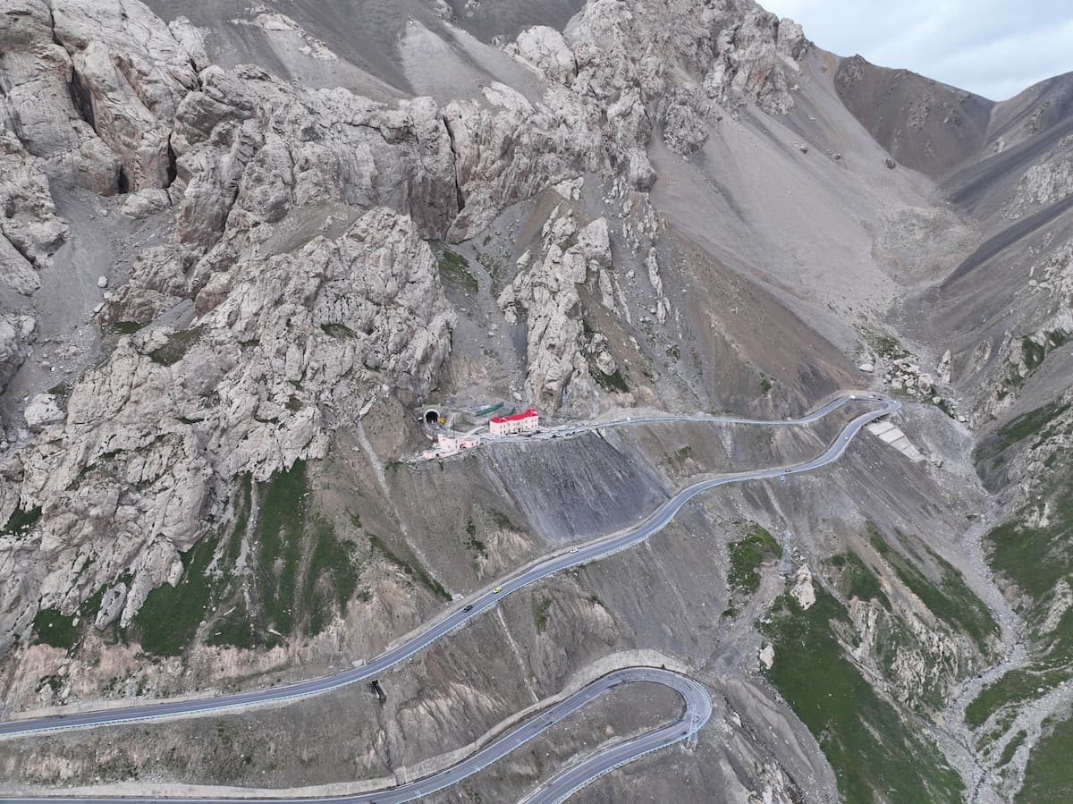
There is, however, a true crossing. The Tarim Desert Highway runs from Luntai in the north to Minfeng in the south, about 522 kilometres of paved road straight through the dunes. According to Xinhua, it opened in 1995 and remains the longest highway of its kind across a shifting desert. A newer line links Alar to Hotan. Either one lets a self-driver close the ring: run Urumqi to Kashgar, push south to Hotan, cross north to Luntai, and return to Urumqi. The honest part is that the middle 500 kilometres are shelterbelt, sand, and silence. It closes the map, but it is not the scenic half of the trip.
What closing the loop actually costs in hours
Distances in Xinjiang are not suggestions. Here is the southern artery broken into the legs most drivers actually use, based on our own 2023 and 2024 runs.
| Leg | Distance | Driving time |
|---|---|---|
| Urumqi to Turpan | ~190 km | 2.5 h |
| Turpan to Korla | ~380 km | 4.5 h |
| Korla to Kuqa | ~280 km | 3.5 h |
| Kuqa to Aksu | ~260 km | 3 h |
| Aksu to Kashgar | ~460 km | 5 to 6 h |
| Kashgar to Tashkurgan (Pamir) | ~300 km | 4 to 5 h |
| Tarim Desert Highway (Luntai to Minfeng) | ~522 km | 6 to 7 h |
Add the northern extras: Korla to the Dushanzi gate of the Tianshan, Yining across to Kanas, and the return to Urumqi, and a genuine full loop lands at 3,000 to 3,500 kilometres. On the road that means fourteen to twenty-one days of real driving. Under ten days, the loop is a fantasy. You take one shape and do it well.
Entry cities and how they bend your route
Where you fly in changes everything. Kashgar is the western hub, best if the south and the Pamir are your goal, with daily flights from Urumqi. Yili, centred on Yining, is the gateway to the northern pastures and the easiest start for the north loop. Urumqi is the main international gateway and the natural base for either shape. We have started from all three, and the pattern is the same: pick the city closest to the side you actually want, not the one with the cheapest flight.
The transport verdict: train, flight, or car
The train is comfortable but it runs the rim, not the middle. The Lanzhou to Xinjiang line and the Southern Xinjiang Railway skirt the northern and eastern edge, linking Urumqi, Turpan, Korla, Aksu and Kashgar. The conventional Urumqi to Kashgar train takes the better part of a day, around twenty-four hours on the classic service, with hard sleepers in the few-hundred-yuan range. It is excellent for point to point, useless for drawing a loop, because it never crosses the basin.
A flight is the cheat code. Urumqi to Kashgar is about two hours in the air. We used it once when work forced a same-day arrival, and it lets you “teleport” the far end of the loop and spend your road days on the scenery instead of the corridor. The car, whether self-driven or with a private car and driver, is the only mode that actually draws the loop. It also means checkpoints, a dashcam you may be asked to switch off near sensitive zones, and the discipline of daylight driving on the mountain sections.
Months that open and close the loop
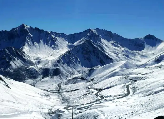
Season is not a footnote here; it decides which shapes are even possible. The Duku Highway, the 561 kilometre Tianshan crossing between Dushanzi and Kuqa, is the shortcut that tightens the north loop, and Xinhua reported it reopening on June 1 after its winter closure, closed every year from roughly October to May for snow and ice. Miss that window and the northern shortcut is gone.
The Pamir and Tashkurgan sit best from May to October; winter snow closes the high road. Altai and Kanas are glorious from June to September and gold in October, but harsh from November to April. Turpan is a furnace in July and August, often above 40 Celsius, so April to May and September to October suit it better. The sweet spot for the whole region is late September into early October, when the poplars turn and the roads are still open. Our best time guide breaks this down month by month.
A two-week loop that respects the geography
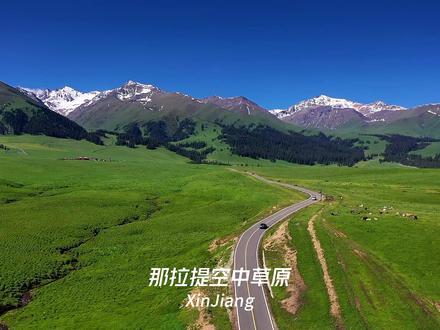
If you have fourteen days and insist on touching both sides, be honest about the trade. A shape we have actually driven: Urumqi to Turpan for two nights, Korla for one, Kuqa for one with the canyon, Aksu to Kashgar for two, a Tashkurgan spur for two, then back to Kashgar and a flight to Urumqi. That is a south-leaning loop with a Pamir peak. It does not reach Kanas. To add the north forests you need another week, and at that point you are better running two separate trips.
The mistake is trying to honour every name on the list. A two-week plan that tries for Kanas, Sayram, Kashgar and the Pamir at once becomes a 600 kilometre per day sprint with no memory worth keeping. Choose the coast, and let the other wait for next time.
When a north-only or south-only trip beats the loop
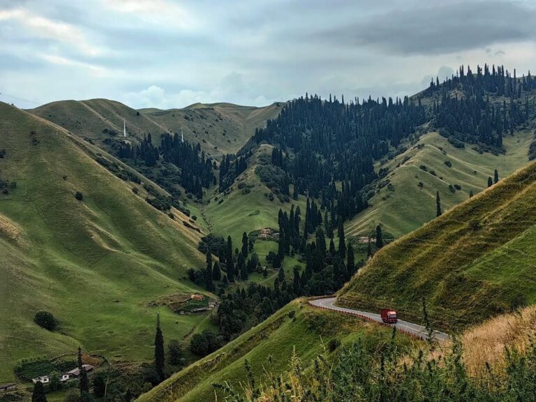
Some clear rules from our own missteps. With under ten days, take one region and do it slowly. The north loop suits travellers who want lakes, grasslands and mountain forest; the Kanas forests and the Ili valleys are the headline. The south branch suits Silk Road cities, bazaars and the Pamir, and it pairs well with a Kashgar flight if you dislike long drives. Photographers and landscape people should lean north. History and culture people should lean south. If you have already done one side, the other is the obvious next trip rather than a forced combination.
Permits and checkpoints that shape the line
The Pamir and Tashkurgan sit near the Pakistan border, and foreign travellers need a border permit for that area. Carry your passport everywhere, expect three to five police checks on the Aksu to Kashgar run and again toward the plateau, and keep cameras down at checkpoints and any military site. Rules shift, so confirm current entry and permit requirements with the National Immigration Administration before you travel. None of this is hostile; it is border-zone routine, and a ten minute buffer built into each driving day keeps it painless.
Questions travellers ask before they draw the route
Can I see both north and south in a week? No, not properly. A week gives you one coast and a couple of its highlights. Two weeks lets you lean south with a Pamir spur, or tour the north loop lightly.
Is the train or a car better for a first trip? If your time is short and your energy lower, fly between hubs and use local tours. If you want the road itself to be the trip, hire a driver and accept the long days.
Do I need the desert highway to make a loop? Only if you are determined to close the ring by road. Most travellers either backtrack the expressway or fly one leg. The desert crossing is an experience, not a requirement.
A straight word on distances and plans
The figures above come from our own drives in 2023 and 2024 and from official and news sources cited in the text. Road status, park fees, train schedules, flight prices and border-permit rules change, sometimes within a season. Treat the numbers as planning estimates, not promises, and verify current conditions with official sources or your accommodation before you commit. This is practical guidance from real trips, not an official advisory.
Who wrote this Xinjiang route planning guide
Karl Huang has spent eight seasons documenting travel across Xinjiang, from the Kanas forests of the north to the Pamir Plateau in the south. He founded Xinjiang Attractions to publish first-hand, practical route advice based on trips actually driven, not brochures. When he is not on the road he maintains the site’s itinerary library and answers reader questions about realistic trip shapes.