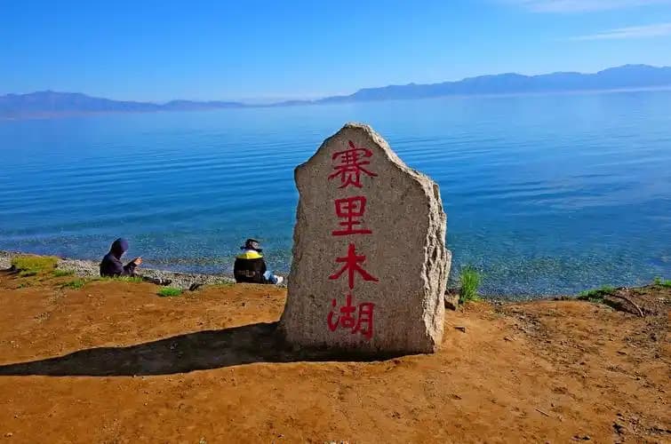
Published: August 24, 2026 | Author: Karl Huang
Most travellers treat the stretch between Hotan and Minfeng as a single, dusty day on the G315 highway. I made that mistake twice before I finally slowed down. The twin oases of Yutian and Cele sit only about 80 kilometres apart on the southern edge of the Tarim Basin, yet the landscape between them changes from irrigated farmland to raw desert and then, surprisingly, up toward alpine grasslands. This is not a duplicate of our Yutian (Keriya) destination guide; it is a road-level look at the stops most people drive past on the way to somewhere else.
Why this Yutian and Cele guide is different
I am writing about the segment, not the towns in isolation. Over two trips, I spent four nights hopping between Yutian and Cele, chasing down the small sites that do not make the glossy brochures: a 4-square-metre Buddhist chapel, a desert lake ringed by salt bushes, a resettlement village that still keeps one foot in the sand, and a mountain road that climbs out of the desert in a single morning. Where official sources disagree, I say so. Where I am estimating, I flag it.
Yutian and Cele at a glance
| Stop | What it is | Distance from Hotan | Best for |
|---|---|---|---|
| Yutian (Keriya) | Oasis town on the Keriya River | ~170 km east | Rose fields, Dragon Lake, Kurban Tulum Memorial |
| Cele (Qira) | County seat south of the G315 | ~100 km east | Damago temple, Shahai Bihu lake, Kunlun Sky Road access |
| Kunlun Sky Road | 156 km mountain route above Cele | Starts near Cele | Grasslands at 3,500 m, June to September |
| Daryaboyi | Desert settlement on the lower Keriya River | ~90 km north of Yutian | Remote oasis, poplars, day trip only |
| G315 corridor | East-west southern Silk Road highway | Runs through both towns | Linking the oases by car or bus |
What the road actually feels like
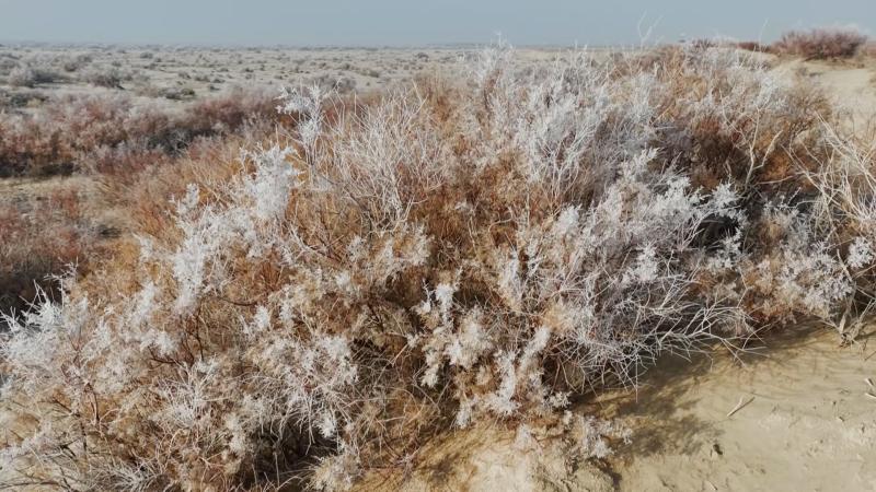
Leaving Hotan eastbound on the G315, the city thins out quickly. The Silk Road History books will tell you this was the southern branch of the old trade route, but the modern version is a two-lane asphalt strip with trucks carrying jade, melons and construction rebar. Around kilometre 90 you pass into Cele County. The first thing I noticed was the windbreaks, thousands of tamarisk and poplar planted at right angles to hold the sand back. Then the fields start: wheat, corn, and rows of something that looked like grey-green shrubs until I realised it was rose.
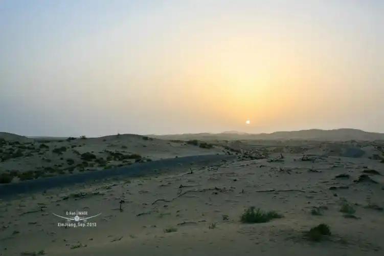
Between Cele and Yutian the road crosses a genuine threshold. The irrigated belt narrows, the poplars turn from green to silver, and the dunes begin to show on the northern horizon. I pulled over once to photograph a camel caravan of sorts: three local men leading a string of Bactrian camels along the shoulder, heading for a summer pasture I never did locate.
Yutian: roses, a museum, and a famous donkey ride
Yutian County is the older name Keriya rendered in modern Mandarin. The town itself is unremarkable at first glance, a grid of low buildings under a haze that is either dust or harvest smoke depending on the season. Three things pulled me out of the car.
First, the rose fields. Yutian claims more than a thousand years of rose cultivation, and in late May the rows of Damascus rose turn the desert fringe pink. I visited a small farm east of town where the owner explained the difference between petals sold for tea, jam and cosmetic oil. The harvest lasts about three weeks. If you have read our piece on Hotan rose jam, this is where much of the raw material originates.
Second, the Kurban Tulum Memorial. Kurban was a local farmer who, in 1958, became famous for attempting to ride a donkey to Beijing to thank Mao Zedong. The memorial is small, respectful, and refreshingly un-touristy. His great-granddaughter now works as a guide there, and on my second visit she explained how the new airport changed the family story from donkey to airplane.
Third, the Yutian Museum. It is modest, but it holds material from the wider Keriya region, including wooden tablets and textiles that hint at the old kingdom of Khotan. Serious archaeology enthusiasts should still head for the Niya Ruins west of Minfeng.
Cele: where the desert meets the Kunlun
Cele is smaller and sleepier than Yutian. That is part of its appeal. The county sits at the transition between the Tarim Basin and the Kunlun Mountains, and the road south from town climbs fast. I used Cele as a base for two excursions.
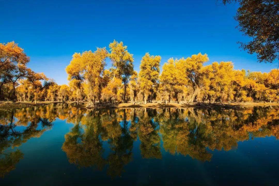
The first was Shahai Bihu, a small desert lake about 15 minutes east of the county seat. I went at sunset and found the water ringed by tamarisk, with a handful of local families fishing from the bank. There is no formal entrance fee, just a dirt track off the G315. It is not dramatic, but it is honest, and it captures the sense of water surviving against the odds.
The second was the Damago Buddhist Temple site, a tiny 4-square-metre chapel with wall fragments that scholars link to the Khotan school of painting. The on-site museum is modern and well labelled. Standing inside the reconstructed cell, I could see why the old Silk Road monks chose this spot: it is the last place before the mountains where an exhausted traveller could still find water and shade.
The Kunlun Sky Road: Cele’s other direction
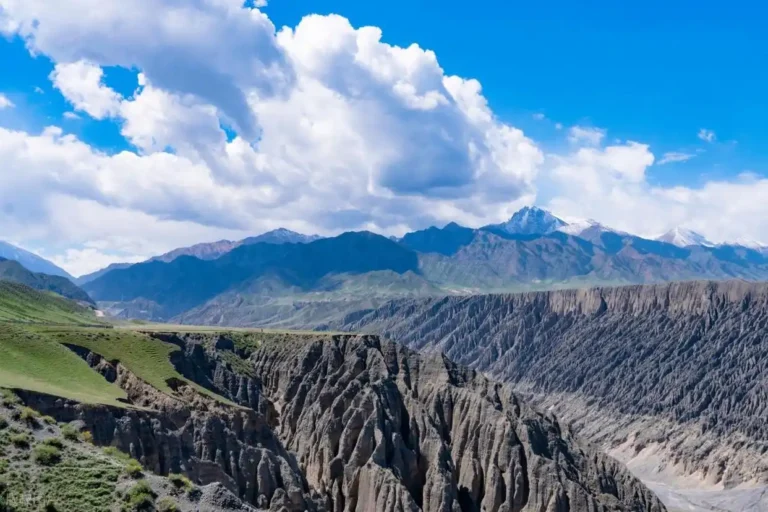
The route most travellers miss turns south, not north. The Kunlun Sky Road is a roughly 156-kilometre mountain road that connects four high pastures above Cele: Bulangge, Yamen, Paka and Keshan. I drove the first 40 kilometres in early June, stopping at Qiaha township for fuel and bread before the climb.
By the time I reached Bulangge the temperature had dropped from 34 degrees Celsius to 12. The grassland sits around 3,500 metres, with views south toward snow-capped ridges. There is a nominal entrance fee, usually 40 to 45 yuan. The road is paved but narrow; a few switchbacks still have gravel washouts. I turned back at the second pasture because a summer storm had slicked the surface, but the half-day was worth it. If you want high mountains without the Pamir permit hassle, this is the most accessible option between Hotan and the Tibetan border.
Daryaboyi: the settlement in the sand
North of Yutian, a rough track follows the Keriya River into the Taklamakan. Daryaboyi is a resettlement township of the Keriya people, originally located much deeper in the desert. A new village was built in 2018 about 90 kilometres from Yutian; the old seasonal settlement remains much further north. I did not attempt the full track. The local officials I spoke with said a standard car can reach the new village, but beyond that a 4×4 and a guide are sensible. Our Yutian (Keriya) guide covers the practicalities in more depth.
How to get to Yutian and Cele
By air: Yutian Wanfang Airport opened in December 2020 and has flights to Urumqi. Hotan Airport, about 170 kilometres west, has a wider network.
By train: The Hotan-Ruoqiang railway serves both Yutian and Cele. The Yutian station is a few kilometres north of town; Cele station is similarly outside the county seat. Local taxis meet most arrivals.
By road: The G315 runs through both towns. Hotan to Cele is about 100 kilometres, Cele to Yutian about 85 kilometres, and Yutian to Minfeng about 110 kilometres. Long-distance buses run the corridor, but a hired car or self-drive gives you the flexibility to stop at Shahai Bihu or the Damago site.
Best time to visit Yutian and Cele
May and late September are the sweet spots. May brings the rose harvest and mild mornings before the summer heat builds. Late September cools the desert and starts turning the poplars gold. I have also visited in July, when daytime temperatures pushed 40 degrees Celsius and the light was harsh for photography. Winters are quiet and cold; some mountain roads close.
Where to stay
Both Yutian and Cele have small hotels near the main road, mostly three-star or below. In Yutian I stayed at a family-run guesthouse two blocks south of the G315; the owner cooked breakfast noodles and pointed me toward the rose farm. In Cele I chose a hotel near the bus station for the early start up the Kunlun Sky Road. Do not expect international chains.
What to eat along the route
The food is straightforward southern Xinjiang fare. In Yutian I ate mutton pilaf at a restaurant near the museum and bought rose-stuffed naan from a bakery that supplies the airport shop. In Cele the speciality is Qira-style pulled noodles, thicker than the Turpan version and served with a slow-cooked mutton sauce. Melons appear in roadside stalls from July through September. Fresh water is scarcer than it looks; I carried at least two litres per person on day trips.
Practical tips before you go
- Carry cash. Mobile payments work in town, but lake-side stalls and mountain entrance gates often prefer cash.
- Download offline maps. The G315 corridor has coverage, but mountain tracks and the Daryaboyi road do not.
- Bring sun protection and a warm layer. The desert floor is hot; the Kunlun pastures are not.
- Do not rely on English. Basic Mandarin or a translation app helps outside the hotels.
- Fill the fuel tank in Cele before heading up the Sky Road. There are no pumps on the mountain section.
A two-day Yutian and Cele itinerary
Day one: Morning train or car from Hotan to Cele. Visit the Damago Buddhist Temple site, then drive to Shahai Bihu for sunset. Overnight in Cele.
Day two: Early start up the Kunlun Sky Road as far as Bulangge grassland. Descend by midday, drive the G315 to Yutian, visit the Kurban Tulum Memorial and a rose farm. Continue east to Minfeng or return to Hotan by evening train.
Frequently asked questions
Is Yutian the same as Keriya?
Yes. Yutian is the modern county name; Keriya is the older transliteration of the same place, still used for the river and the local dialect.
How far apart are Yutian and Cele?
About 85 to 100 kilometres depending on whether you take the G315 or the newer expressway. Driving time is roughly 90 minutes.
Can you visit Daryaboyi in a regular car?
The new resettlement village is reachable by a standard car in dry conditions. The old settlement deeper in the desert requires a 4×4 and local guidance.
Is the Kunlun Sky Road open all year?
No. Snow and ice usually close the high section from November through April. The best window is June to September.
Do I need a border permit for this area?
No. Yutian, Cele and the Kunlun Sky Road are inside the regular travel zone. The permit system applies further south and west.
Disclaimer
The information in this guide is based on my own visits, local conversations and publicly available transport timetables. Road conditions, opening hours and prices change. Check current conditions before you travel, especially for mountain routes and the Daryaboyi track.
About the author
Karl Huang has been travelling and writing about Xinjiang since 2018. He researches routes on the ground, verifies distances against official sources, and updates articles when conditions change. You can find more of his Xinjiang travel guides on this site.