Published: October 20, 2026 | Author: Karl Huang
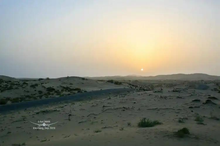
The Miran ruins sit at the dry eastern rim of the Taklamakan, about 80 km northeast of Ruoqiang, where a branch of the old river once turned gravel into a garden. For several centuries this was a Buddhist oasis on the southern Silk Road. Then the water left. We drove out on a clear October morning, past fields of red dates and then bare gravel, and spent the day reading a town the desert is slowly taking back.
Most travelers here are chasing Loulan, the famous lost city that stays closed to independent visitors. The Miran ruins are the quieter cousin, and in recent seasons the more reachable one, because you can walk among the stupas, the fort and the temple foundations instead of staring at a dune from a checkpoint. This guide comes from our own drives, published archaeology, and what Ruoqiang drivers told us at the barrier.
| Detail | What to know |
|---|---|
| Location | Eastern Taklamakan fringe, about 80 km northeast of Ruoqiang (Charklik), Bayingolin Prefecture |
| What it is | Han-era oasis and garrison that became a Buddhist center, later a Tibetan fort |
| Access | Long permit and checkpoint history; ticketed small-group visits in some recent seasons. Confirm locally |
| Recent entry | Roughly 25 to 35 yuan plus about 10 yuan shuttle, when open |
| Getting there | Fly to Ruoqiang Loulan Airport, or Golmud to Korla railway to Milan; then 4WD and track |
| Time needed | Three to four hours on site, plus a half day of driving |
| Best months | Late April to May, September to early November |
| Base town | Ruoqiang, about 200 to 350 yuan for a mid-range room |
The oasis that Buddhism built
Miran began as a Han frontier farm. Chinese records call the place Yixun, an agricultural garrison planted to feed the southern route, inside the orbit of the Shanshan kingdom that grew up after Loulan’s lake began to fail. It sat where the desert route from Dunhuang met the road running west along the Kunlun foothills, which is why a settlement clung to life here at all.
Buddhist monks arrived early and stayed for centuries. Between roughly the first century BCE and the fourth century CE the settlement grew into a religious center, with temples, stupas and cells for copyists. They built in mud brick and rammed earth, which is why so little stands higher than a person today, and why the plan matters more than the walls.
The town’s last strong phase was military. From the seventh to the eighth century CE, Tibetan forces held this ground and rebuilt the fort as a garrison. Tibetan wooden documents and coins found here record a working administration, which is one reason Miran matters to historians of the plateau as much as to Silk Road specialists.
Miran ruins: three sites, one vanished town
The site spreads across a few square kilometres of flat desert, and most visitors read it as three clusters.
The fort. An irregular square, about 70 m east to west by 56 m north to south. Its walls survive to roughly 7 m and were rammed from loess layered with willow branches and wheat straw, a technique that held for more than a thousand years of wind.
The East Great Temple. Two storeys behind a high wall, with a large niche that still holds semi-relief figures of a bodhisattva and a guardian king, and scroll-cloud capitals above the columns. A giant Buddha once filled the hall; its head lies where it fell, and the size of it stops you mid-step.
The West Great Temple. Faces it across open ground, built around a stepped base with a corridor and topped by a circular structure about 3 m across. Between and around the temples stand the stupas, including the form that carries Miran’s name: a round drum capped by a square block, ringed by smaller votive stupas. Up close the brick has melted into soft ribs. From a little distance the plan is still legible.
How Miran drank: the lost irrigation network
An oasis is a water story before it is an art story, and Miran’s is unusually well studied. The town drew from a branch of the Ruoqiang River and from a branching grid of canals dug to spread floodwater across fields. Recent satellite work traced those channels and tied them to the long Han-to-Tang push to farm the frontier, when soldiers and settlers were sent to grow grain where no rain fell.
The plant remains show what the canals grew. In the Tibetan-period levels, foxtail millet makes up about 46 percent of the cereal remains, common millet 12 percent, naked barley 25 percent and wheat 17 percent. Those are drought-tolerant crops, and the isotope data suggests they were watered carefully rather than left to the flood.
What killed the oasis was the same thing that built it. When the river shifted and the water table fell, the canals went dry, the fields failed, and the town lost the reason anyone lived there. The ruins are what a water system looks like after it stops.
Reaching Miran from Ruoqiang: permits, ticket and checkpoints
Ruoqiang, also called Charklik, is the only sensible base. Do not confuse the town with the ruins. The site is about 75 to 80 km northeast, along the G315 and S235 corridor and then onto tracks. Expect an hour and a half to two hours each way in a high-clearance vehicle, longer if wind has drifted sand across the route.
Access is the part that changes. For years Miran sat behind a checkpoint and a permit that ordinary travelers rarely obtained. Since around 2023, small-group ticketed visits have been possible, with a modest entry of roughly 25 to 35 yuan plus a shuttle of about 10 yuan. But the site borders the controlled Lop Nur zone, so rules tighten and loosen with little notice. Some periods need booking through a Ruoqiang-licensed operator, and foreign visitors should expect extra document checks.
Our advice is simple. Contact a Ruoqiang operator a few days ahead, ask what is actually open that week, and do not drive out on a hunch. If the gate is shut, the drive still teaches you the geography, and the Loulan Museum in town is the reliable backup. The Ruoqiang county government posts visitor notices, and our Ruoqiang gateway guide covers the wider county.
To reach Ruoqiang, fly into Ruoqiang Loulan Airport, which handles short hops from Urumqi and Korla, or take the Golmud to Korla railway, which has a Milan station close to the ruins. Korla is about 470 km north by road and a full day if you stop along the way.
The season that actually works
Ruoqiang is a cold desert. Summer routinely passes 40 C, and the wind carries grit into every fold of clothing. Spring looks mild on paper, but dust storms can close the approach road without warning. The workable windows are late April into May and September into early November. We went in October and had clean, dry days near 20 C, which made the drive comfortable.
Winter is cold and very quiet, with nights near minus 15 C, and it suits travelers who want empty roads and cheap rooms more than comfort. If you come for the autumn date harvest, the town is busier and the bazaars are at their best.
Sleeping in Ruoqiang: the only sensible base
Ruoqiang town has a handful of mid-range hotels, clean and functional, where a room runs roughly 200 to 350 yuan a night. Do not expect international chains or much English at the desk. Book ahead during the jujube harvest, when buyers fill the better places. Korla is the next step up, but too far to use as a day base for Miran.
Eating in Charklik: jujubes, lamb and the oasis table
Ruoqiang is known across Xinjiang for its red dates, and the county’s jujubes show up on every table, eaten fresh, dried, or stewed into a sweet tea. The food is honest frontier cooking. We ate hand-pulled noodles with lamb, cumin skewers, and pilaf studded with carrots and raisins. The night market near the square is the place to graze, and the bazaar sells dried dates and walnuts to carry home. It is filling, cheap, and exactly what you want after a day of dust.
What to pack for the Lop Nur edge
Carry at least 5 litres of water per person, because there is none on site and no shop on the way. Bring a wide hat, sunglasses, a buff or goggles for blowing sand, sunscreen and lip balm, plus a windproof layer even in spring. Pack lunch, snacks, a power bank and an offline map, because phone signal thins out fast. Keep your passport or ID on you, since checkpoints log every traveler. Do not pick up pottery or bone fragments, and do not climb the structures.
The winged figures and where they live now
Miran’s fame rests on paintings that are no longer here. In December 1906 and January 1907, Aurel Stein’s team opened a stupa corridor and found panels of winged, round-faced figures with flowing drapery. Stein called them winged angels and read them as echoes of Greek and Roman art carried east through Gandhara. He removed seven of the best panels, and most of what survives is now in the National Museum in New Delhi, with pieces in the British Museum.
The identification is still argued. Chinese scholars note that the figures have no halos and sit in the donor position low on the wall, which fits a kalavinka or a patron better than a flying celestial. Miran is where several art traditions met, and even the experts cannot agree on what walked in. For the deeper art history, our companion piece on the Miran frescoes goes further. To see objects from the site, the Ruoqiang Loulan Museum and the Xinjiang Regional Museum in Urumqi are the practical stops.
Miran, Niya or Loulan: which ruins to chase
Travelers often ask which southern ruin is worth the effort. Loulan is the most famous and the least accessible, sealed inside a national control zone with no independent entry. Niya sits deep in the dunes and is effectively off-limits. Miran is the most attainable of the three, and it shows how an oasis town was laid out. If you have one desert ruin in you, make it this one. If Loulan fascinates you, pair the drive with the museum and with Lop Nur, the lake whose retreat set this story in motion.
A two-day Ruoqiang basecamp plan
Day one: fly or take the train into Ruoqiang by late morning, check in, and spend the afternoon in the Loulan Museum for context. Walk the bazaar at dusk, eat at the night market, and sleep early. Day two: leave at first light for Miran, having confirmed access the evening before, and give the site three to four hours if you are allowed in. Return by late afternoon, refuel, and either fly out the next morning or push on toward Qiemo. Build in a spare half day, because dust and paperwork eat time.
Questions we hear about the Miran ruins
Can I visit the Miran ruins without a permit?
Sometimes, in recent seasons, as a ticketed small-group visitor. At other times access needs a Ruoqiang-licensed operator and advance documents. Confirm the current rule locally rather than trusting any guide, including this one.
How far is Miran from Ruoqiang?
About 75 to 80 km northeast, roughly an hour and a half to two hours each way.
Are the winged angel paintings still at Miran?
No. Stein removed the best panels in 1906 and 1907. Most are in New Delhi, with pieces in London and Tokyo.
What is the best month to go?
Late April to May, or September to early November. Avoid the summer heat and the spring dust storms.
Do I need a guide?
For the drive and any realistic chance of entry, yes. A local operator knows the current rules.
The honest limits of this guide
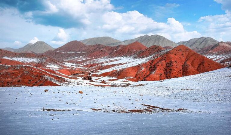
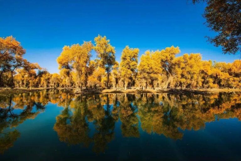
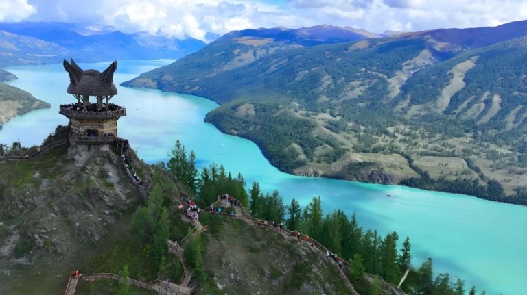
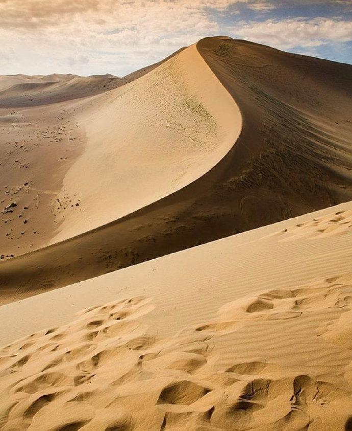
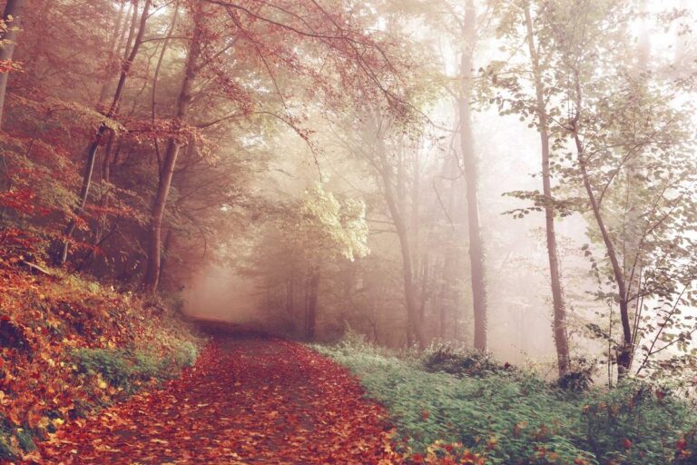
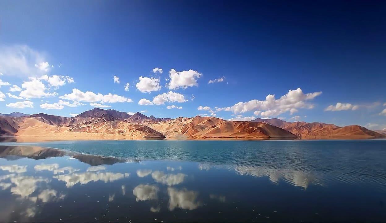
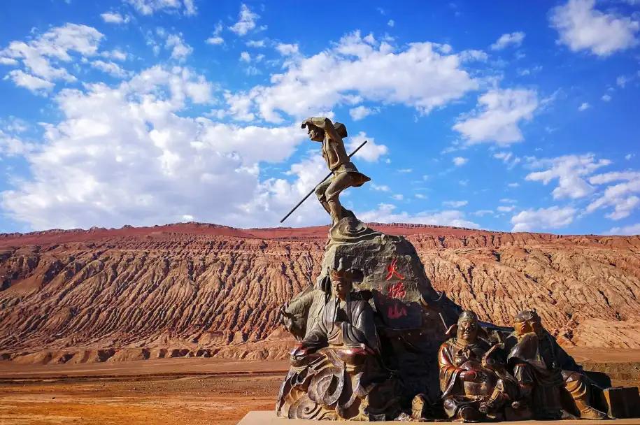
We are travel writers, not archaeologists, and we are not affiliated with the site or any museum. Access rules around Miran and the Lop Nur zone change often, and published sources disagree about what a casual visitor can expect, so we have said so plainly rather than promise a smooth visit. The photographs are regional scenes chosen to show the desert and oasis setting, not pictures of the ruins. Check with Ruoqiang authorities or a licensed operator before you travel.
About this guide’s writer
Karl Huang writes about the far corners of Xinjiang from the road, with a focus on the southern Tarim, the Lop Nur fringe and the oasis towns that few travelers reach. He has driven the Korla to Ruoqiang corridor repeatedly and prefers to report what he saw, including the barriers, rather than what a brochure promises.