Published: October 20, 2026 | Author: Karl Huang
The Altun Mountains rise along the northern lip of the Tibetan Plateau in Xinjiang, south of Ruoqiang, and the reserve that carries their name is one of the last corners of China where a road can run all day without a fence. We drove in one late September, left the asphalt at Yitunbulak, and came back with dust in our teeth and a notebook full of animals. This guide is built from two trips to the reserve’s outer stations, from the published work of its own research staff, and from state reporting on the wildlife counts. It is not a promise that you will get in. The Altun is a guarded place and the rules move. What follows is what we saw, what the rangers told us, and what any traveller should know before pointing a car south.
| Detail | What to know |
|---|---|
| Location | Southeastern Xinjiang, south of Ruoqiang (Charklik), Bayingolin Prefecture, on the Tibetan Plateau’s northern edge |
| Status | National nature reserve, established 1983, national-level 1985; the core is closed to casual visitors |
| Area | About 45,000 km2, with one survey measuring 46,847 km2 |
| Average elevation | Around 4,580 m across the basin floor |
| Best months | June to September, when the marshes and tracks are passable |
| Route in | Ruoqiang, then Yitunbulak, then south over the Amubala Ashikanda Pass at 4,485 m to the Yixiekepati station |
| Permit | Required from the reserve administration; arrange it in Ruoqiang, not on the road |
| Key wildlife | Tibetan antelope, wild yak, Tibetan wild ass, plus snow leopard and black-necked crane |
| Facilities | Almost none inside; use Ruoqiang as your base |
Where the Altun Range Meets the Tibetan Plateau
The Altun is a wall of dry mountains that guards the northern entrance to the plateau. North of it lies the Taklamakan and the Lop Nur depression. South of it the land steps up onto the high cold country that runs into Qinghai and Tibet. The reserve sits in a closed basin ringed by ridges: the Qimantage and Altun ranges to the north, the Arkatag and Qimanylike to the south, with the Kumkuli basin spread between them.
The basin traps cold air, so summers are short and nights stay near freezing even in July. It also explains the water. Snowmelt off the surrounding peaks feeds a scatter of lakes, and the biggest of them, Ayakekumu, is saltier than most seawater at roughly 160 grams of salt per litre. The reserve borders Qinghai’s Hoh Xil to the east and the Changtang reserve in Tibet to the south, which is why it is often listed with Lop Nur, Hoh Xil and Changtang as one of China’s four great no-man’s-lands.
Altun Mountains Xinjiang: The Reserve by the Numbers
The reserve was set up in 1983 and elevated to national status in 1985. It is usually described as the world’s first protected area created specifically for a high-cold desert ecosystem, which is a dry way of saying it exists to keep a piece of the plateau exactly as it is.
The counts are the reason it matters. By the reserve’s own 2024 figures it holds 17 species under first-class national protection, 338 species of wild animal and 387 kinds of plateau plant. The three big hoofed animals are the headline: Tibetan antelope above 65,000, wild yak around 12,000, and Tibetan wild ass somewhere past 50,000. Added together the three ungulates now exceed 120,000 animals, and the antelope herd has roughly doubled since 2010. Rangers told us the antelope figure is the one they watch most closely, because it rises and falls with poaching pressure and with the health of the calving grounds.
What We Found Driving In From Ruoqiang
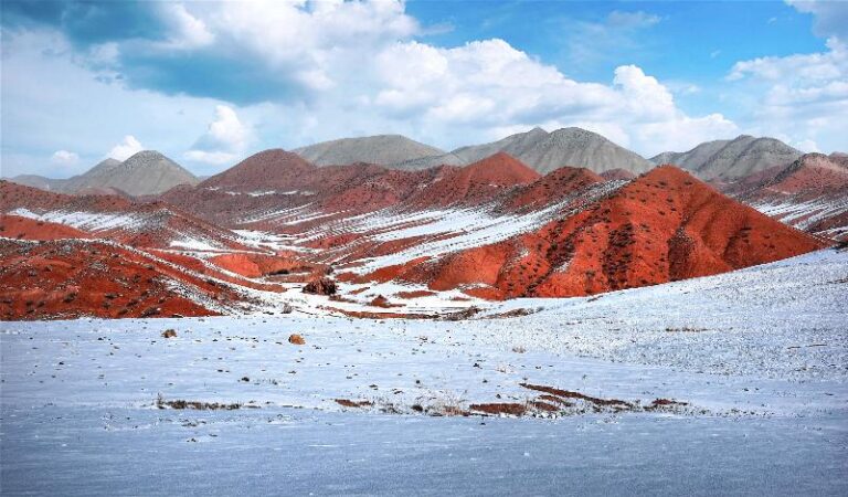
We left Ruoqiang before light, with the thermometer reading four degrees. The first hour is flat and grey, fields of red dates giving way to gravel, and then the country starts to fold. At Yitunbulak the road turns south and begins to climb through bare hills the colour of rust. The pass at Amubala Ashikanda sits at 4,485 m, and the wind there comes at you sideways. We stopped to catch our breath, then dropped into the basin.
The first animals appeared within twenty minutes. A line of Tibetan wild ass, the kiang, came alongside the car and then pulled ahead, kicking up a trail of dust, and for a while they simply raced us. Further on, near a set of sand springs that well up out of the desert floor, a herd of wild yak stood drinking, dark shapes against pale ground. The rangers later told us the kiang do this often, treating passing vehicles as a challenge. It is a strange and generous welcome to a place that otherwise feels empty.
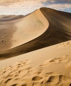
The Road In: Ruoqiang, Yitunbulak and the Amubala Ashikanda Pass
Ruoqiang is the only sensible base, and it is also the last place to buy fuel, water and food. From town you head east on the Xining to Hotan expressway, leave it at Yitunbulak, and pick up a narrow mountain road that climbs to the pass before dropping into the reserve. Allow three to four hours to the outer station on a good day, more if the track is washed out or drifted with sand. A high-clearance four-wheel drive is not optional. We saw a sedan turn back at the first steep section.
The driving is its own reward and its own risk. The pass road is steep, loose in places and unlit, and the weather can change in an hour. If you have driven the high roads of the southern Kunlun, the feel will be familiar; our notes on the G219 along the Kunlun cover the same habits of early starts and full tanks. Fuel inside the reserve does not exist. Carry a jerry can and plan your return before you go in.
The Permit Nobody Can Skip
The Altun is not a park with a ticket window. Entry needs a permit from the reserve administration, and in practice that means working through a licensed operator or the authorities in Ruoqiang several days ahead. The reserve has a small staff, roughly seventy people for 45,000 square kilometres, and they turn back people who arrive without papers. Foreign visitors should expect extra document checks and should carry a passport at all times.
It also helps to understand what you are being allowed to see. The outer stations and patrol roads are one thing. The core zone, where the antelope calve and the yaks gather, is genuinely closed, and no amount of planning will open it. Our Ruoqiang gateway guide covers the wider county and the neighbouring sites if the reserve gate stays shut.
When the Plateau Opens and When It Shuts
June through September is the working season. By June the snow has pulled back off the pass and the marshes have dried enough to drive, and the animals are spread across the basin. Late June and July bring the antelope to their calving grounds, though those are mostly out of reach. December is the rut, when the males fight and the rangers count herds, but by then the cold is savage and the pass is often closed.
Winter here is not a soft inconvenience. Temperatures drop to around minus 40 Celsius, oxygen sits at roughly half its sea-level pressure, and blizzards arrive without warning. We met a ranger who described summer marsh crossings that turn a short drive between stations into a two-day job. If you want comfort, come in summer. If you want the reserve to yourself and can handle the cold and the paperwork, the shoulder weeks of late May and early September are the compromise.
Where You Actually Sleep on the Edge
There are no hotels inside the reserve. The stations have basic quarters for staff and visiting researchers, and a lucky traveller may be offered a bed, but you should not count on it. Most people sleep in Ruoqiang, where a clean mid-range room runs about 200 to 350 yuan a night, and drive in and out on the same long day. Camping is possible in the outer zone with permission, but at 4,500 m the cold and the thin air make sleep a struggle.
Our advice is to spend a night in Ruoqiang at around 900 m before you climb. Acclimatising at the base town makes the pass and the basin far easier on the body, and it gives you a buffer day if the permit takes longer than expected.
Food, Water and Fuel on a Closed Plateau
Everything you eat and drink has to come with you. Carry at least five litres of water per person per day, more in summer, and pack food that does not need cooking: bread, dried fruit, nuts, boiled eggs, tinned fish. Ruoqiang itself eats well. We had hand-pulled noodles with lamb, cumin skewers and pilaf heavy with carrots, and the town is famous across Xinjiang for its red dates. Buy a bag of those for the road.
Fuel is the quiet constraint. Fill the tank in Ruoqiang, carry a spare can, and remember that the nearest pump on the way back is the one you left. Phone signal disappears shortly after Yitunbulak, so download offline maps and tell someone your plan before you lose the bars.
Hard-Won Tips From the High Country
Altitude is the first thing to respect. At 4,580 m the air holds about half the oxygen of sea level, and headaches, nausea and broken sleep are normal on the first day. Go slowly, drink more than you think you need, and turn back if someone in the car is struggling. Bring sunscreen and lip balm, because the sun at this height burns through cloud, and a windproof layer even in July.
Keep your distance from the animals. The yaks look slow and are not, and a disturbed herd can cost a ranger a day of work. Do not pick up bones, horns or pottery, and pack out every scrap of rubbish. The rangers are proud of this place and they notice who leaves it clean.
A Three-Day Route We Would Drive Again
Day one: arrive in Ruoqiang by air or the Golmud to Korla railway, sort the permit, and spend the afternoon in the Loulan Museum for context. Sleep low and early. Day two: leave before dawn, drive to Yitunbulak and up over the pass, and spend the middle of the day watching wildlife from the outer station and the sand springs. Return to Ruoqiang by dark unless a station bed has been offered. Day three: keep as a buffer for weather, paperwork or a second run at a different station, then head out. Build in the spare day. Dust and officialdom both eat time.
Questions Travellers Ask Us About the Altun
Can I visit the Altun reserve without a permit?
No. Entry needs permission from the reserve administration, arranged in Ruoqiang ahead of time. The core zone is closed outright.
How high is it, and will I be sick?
The basin floor averages around 4,580 m and the pass is 4,485 m. Most visitors feel the altitude for a day. Acclimatise in Ruoqiang first and do not rush.
What animals will I actually see?
On a summer day the odds are good for Tibetan wild ass, wild yak and Tibetan antelope, often from the road. Snow leopard and black-necked crane are possible but rare sightings.
When should I go?
June to September for passable roads and mild days. Late May and early September are quieter. Winter is for specialists and closed passes.
Do I need a guide?
For the permit and any realistic chance of getting past the station, yes. A Ruoqiang operator knows the current rules and the road.
A Note on Conditions and Accuracy
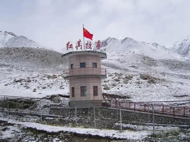
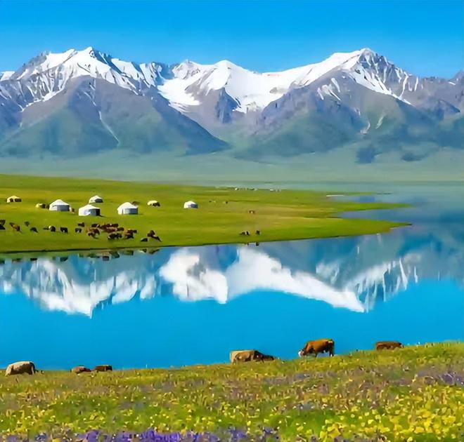
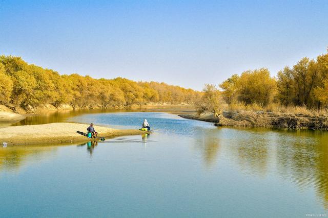
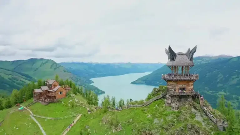
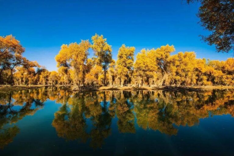
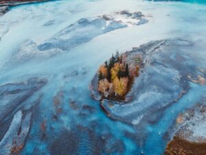
We are travel writers, not reserve staff, and we are not affiliated with the administration. Access rules, wildlife counts and road conditions change, and published sources do not always agree, so we have reported what we saw and what the reserve’s own figures say rather than promise a smooth trip. The photographs here are regional Xinjiang scenes chosen to show the high desert and cold country, not pictures taken inside the reserve. For the record, the reserve’s figures are reported by Xinhua and by the national forestry authority. Check with Ruoqiang authorities or a licensed operator before you travel. For the wider region, see our notes on Xinjiang’s wildlife, on Lop Nur to the north, and on the Miran ruins near Ruoqiang.
About This Guide’s Writer
Karl Huang writes about the far corners of Xinjiang from the road, with a focus on the southern Tarim, the plateau fringe and the places most guidebooks skip. He has driven the Ruoqiang corridor repeatedly and prefers to report what he saw, including the checkpoints and the closed gates, rather than what a brochure promises.