Published: September 11, 2026 | Updated: September 11, 2026 | Author: Karl Huang, travel writer based in Urumqi since 2017
Most foreigners driving the Ili Valley loop never hear of Karatokay wild duck lake, and that is exactly why I keep sending people there. We first pulled off the road east of Tekes in October 2024, on the way from the bagua city to Qiaxi, because a wedge of blue kept appearing between the hills. What we found was the widest stretch of open water in the valley outside Sayram, herons working the shallows, and not one other tourist car all morning. This guide covers what the lake actually is (the answer surprised us), which birds show up in which month, how to reach it, and what the shore genuinely lacks, because it is not a developed scenic area and you should arrive knowing that.
Karatokay Wild Duck Lake at a Glance
| Item | Details |
|---|---|
| Location | Kalatokay Town (喀拉托海镇), Tekes County, Ili, about 48 km east of Tekes county seat |
| Water surface | About 58 sq km; more than 90 m deep at the deepest point |
| What it is | The Tekes River impounded by the Qiafuqihai dam; called Karatokay on the Tekes side, Qiafuqihai on the Gongliu side |
| Best months | April to May and September to October for birds; January to February for ice and wintering ducks |
| Entrance fee | None; open roadside viewing platform near Tiereketi village |
| Facilities | Village shops and farm stays only; no ticket office, no formal visitor centre |
| Base town | Tekes (the bagua city), 38 to 48 km west |
One Reservoir, Two Names
Here is the detail that no English-language page about this water explains properly, and it matters if you use a map. Karatokay is not a natural lake. The Tekes River, the largest tributary of the Ili, was dammed at Qiafuqihai just across the county line in Gongliu, and the water backed up into the Tekes valley. The powerhouse holds four 80 MW Francis turbines, 320 MW in total, which makes it the second largest hydropower station in Xinjiang, and the reservoir stores roughly 1.69 billion cubic metres. A 174 km canal on the south bank carries irrigation water to more than five million mu of farmland downstream.
The naming split is the confusing part. On the Gongliu side of the dam everyone says Qiafuqihai, which in Kazakh means blue lake. On the Tekes side the same water is called Karatokay, after the town on its north shore. The name is Turkic: qara means black or dark, and toqay is a river bend fringed with woodland, so Karatokay reads roughly as the dark wooded bend. If you search either name you will find half the information filed under the other one. We drove past a sign for Qiafuqihai and only worked out at the shore that we had been looking at the same water all along.
An October Morning on the North Shore
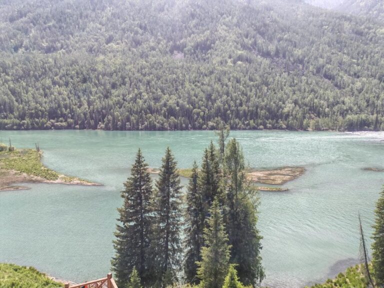
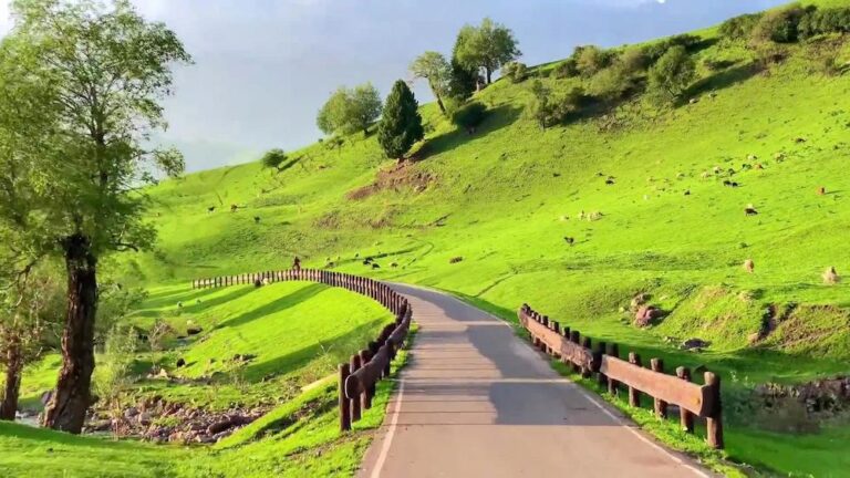
We stayed the previous night in Tekes and left around eight, which in Xinjiang terms means the sky was only just properly light. The road east follows the valley through Kazakh farming villages, wheat stubble already cut, and the lake appears and disappears behind low ridges for the last ten kilometres. The informal viewing spot near Tiereketi village is simply a widened gravel pull-off above the water with a couple of village shops beside it. A shopkeeper selling drinks and seeds to passing photographers told us a good autumn weekend can pass a thousand people a day; on our weekday morning we shared the platform with two fishermen and thirty sheep.
The birds were better than we had any right to expect. Grey herons stood in the shallows like sentries, cormorants dried their wings on a half-submerged tree, and every few minutes a loose line of ducks lifted off, crossed the bay and settled somewhere else. Behind the water the Wusun Mountains ran along the far shore with the first snow of the season on their crests. I carry only a modest zoom lens and still filled two memory cards; bring a 400 mm lens and you will do far better.
The Birds, Season by Season
Because the reservoir almost never freezes completely in the deepest sections and the shallows stay rich, Karatokay has quietly become one of the reliable waterbird sites in the Ili Valley. Local news has documented the pattern well (Xinhua), and our own visits fit it. In late spring, from April into May, the shorelines fill with waders: common redshank and black-winged stilt pick their way along the mudlines, northern lapwing display over the grass, and common cranes pass through in small parties. Local counts in Tekes County list more than twenty nationally protected bird species using county wetlands, including black stork, little bustard, mute swan, black kite, egrets and black-bellied sandgrouse, so there is a real chance of something unusual on any visit, as our guide to birdwatching in Xinjiang explains.
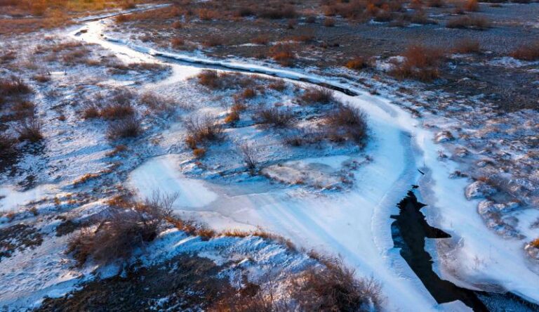
Summer thins the variety but not the numbers: swallows and martins nest in the cut banks, gulls and cormorants work the open water, and the surrounding wheat fields bring flocks to feed. Autumn, from September, is when the duck numbers build. By deep winter the show changes character completely. In January 2025 state media photographed well over a thousand wild ducks resting on the thin ice off Karatokay, and on our own February trip the ice sheet near the shore was striped with open leads where the birds kept channels open. If you want the winter spectacle, bring serious layers; the valley floor sits around 900 to 1,500 m and the town records an average temperature of about 6.3 degrees across the year, with January nights far below freezing.
A note on ethics, because this is working habitat and not a park. Keep to the pull-offs and village tracks, do not walk the reed margins during nesting season from May to July, and never pay anyone to flush birds for flight shots. The ducks winter here in these numbers precisely because disturbance stays low.
Getting to Karatokay
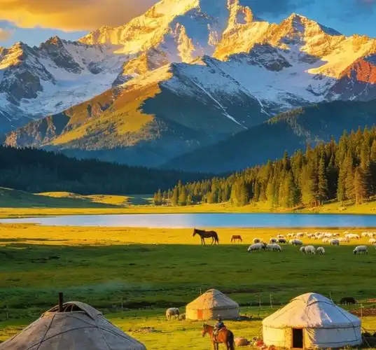
Almost everyone arrives by road from Tekes, which sits 116 km from Yining and its airport. From the bagua city the lake lies about 48 km east; the town itself is 38 km out, and the last stretch runs along the north shore with frequent places to stop. The road is sealed and in normal condition the whole way; we drove it in a rented SUV in October without any drama, and a regular sedan would be fine outside midwinter. Allow roughly an hour from Tekes with photo stops.
Two route combinations make sense. Going east to west, many travellers reach the lake as the final leg of the Gongliu side: the water you have been driving beside at Qiafuqihai simply changes name at the county line, and continuing west brings you to Tekes. Going west to east, the lake is a natural first stop on the way to Qiaxi and the Kuerdening spruce forests beyond, since the road continues directly toward the Kuerdening spruce forests. There is no railway and no bus that serves the shore itself; the practical public transport fallback is a bus or shared taxi from Tekes toward Kalatokay town, then a short local ride to the water. Most visitors therefore either self-drive or hire a car with a driver in Tekes for a half day, which costs a few hundred yuan.
When to Go
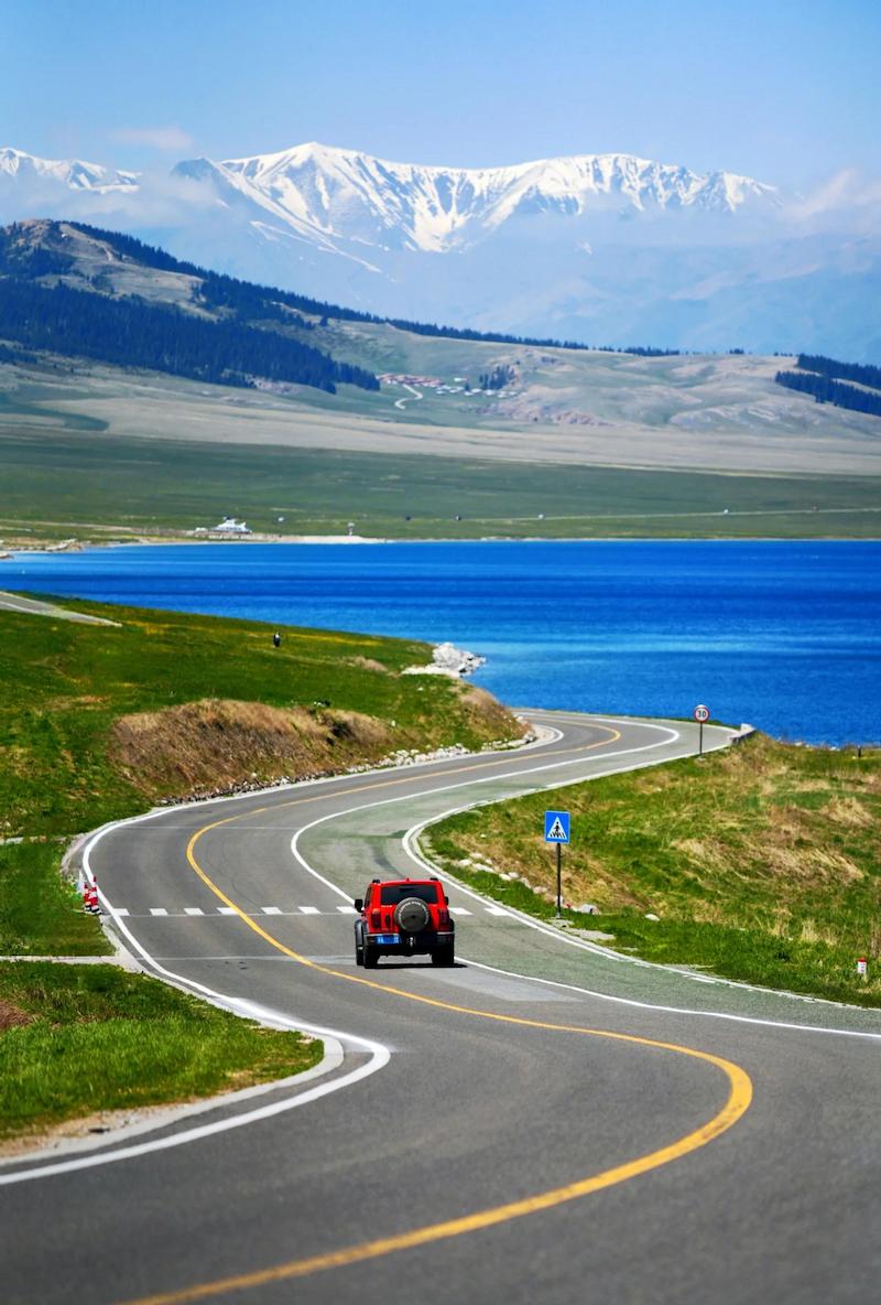
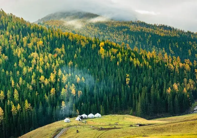
Each season rewrites the place. Spring brings yellow wildflowers along the roadside and the wader migration. In summer the surrounding fields turn into moving wheat, and swallows nest in the banks; it is the greenest but the least birdy season. Autumn is our pick: golden wheat and rapeseed stubble, built-up duck rafts, and light that stays photographable until eight in the evening. Winter is the specialist choice, when the ice fractures into blue plates and a thousand ducks huddle along the leads, the season that draws wintering swans near Yining. Avoid the week of Chinese National Day holidays if you dislike company, since the viewing platform is a known stop for regional self-drive tours.
Where to Stay and Eat
There is no hotel at the lake. The realistic choice is to sleep in Tekes, which has the full range from hostels to comfortable hotels, and treat Karatokay as a morning or evening outing; the low-light hours are when the water is calmest and the birds are closest anyway. Kalatokay town has basic guesthouses and a growing number of Kazakh farm family stays, and spending one night out here puts you on the shore for dawn without a 7 a.m. drive. Book nothing in advance except in July and August; outside peak season rooms are easy to find on the day.
Food follows the same logic. In Tekes you can eat anything from laghman to Sichuan; out at the lake the village shops near the platform sell drinks, instant noodles, bread and sunflower seeds, and family stays will cook mutton, naan and milk tea if you arrange it ahead. The reservoir also supports a fishery, and a few farmhouse restaurants on the Gongliu side serve fish from the lake; we ate a simple plate of fried whitefish at one on the way back and it was the best meal of that day. Carry cash in the villages because mobile payment coverage gets patchy inside family compounds.
Practical Tips
Fuel up in Tekes or at Kalatokay town; there is no petrol station on the shore road. There is no ticket office and no formal opening hours, which also means no rangers; treat the shoreline as working farmland: close gates, keep vehicles on tracks, and carry your rubbish out. Wind is the most underestimated factor; the valley channels it and mornings are usually calm while afternoons get rough enough to flatten bird activity and blow dust across the road. Mobile signal is usable around the town and villages but drops out along the western shore. Download an offline map, since some navigation apps label the whole water as Qiafuqihai and will route you to the dam, 40-odd kilometres away on the far side.
A Half-Day Itinerary That Works
If you have one day based in Tekes, leave at 8 a.m., reach the viewing platform by nine and give the shore a slow ninety minutes while the light is low. Continue east a few kilometres to the petroglyph fields at the south foot of the Yeshikeleke mountains, where images of big-horned sheep, horses, deer and hunters are pecked into the rock; Tekes County has recorded 24 petroglyph sites with more than ten thousand individual figures, and twelve of them enjoy regional protection. Eat lunch in Kalatokay town or backtrack to Tekes, then spend the afternoon at the Kalajun meadows south of the county seat before returning for dinner. If you have two days, drive the north shore east into Gongliu on day two and visit the Qiafuqihai dam face and the apricot and spruce country beyond, which turns the naming quirk described above into a loop rather than a dead end.
Frequently Asked Questions
Is Karatokay wild duck lake worth visiting?
If you enjoy birds, photography or quiet water scenery, yes. If you need boardwalks, cafes and signage, no; it is a working reservoir shore with a viewing platform and village shops.
Is there an entrance fee?
No. Access is free from the roadside platform near Tiereketi village. A few unofficial spots may ask a small parking tip; paying a few yuan to a village family for access to their land is normal and fair.
Can you visit without a car?
Hard but possible: bus or shared taxi to Kalatokay town, then a local ride to the shore. Most foreign visitors hire a driver for the half day.
When are the ducks most numerous?
From late autumn into winter. January counts have photographed more than a thousand ducks on the ice, and the flocks begin building from September.
Is swimming or boating allowed?
No recreational swimming, and the water is a functioning hydropower reservoir with cold, deep water and changing levels. Tour boats exist on the Gongliu resort side, but independents should stay ashore.
Disclaimer
This article reflects conditions as of September 2026 and the author’s visits in 2024 and 2025. Water levels, bird numbers, road works and village access arrangements change without notice; verify current conditions locally (Tekes County government) before setting out. Distances and statistics are drawn from Tekes County government sources and state media reports, and any errors are the author’s own. This site accepts no liability for travel decisions made on the basis of this guide.
About the Author
Karl Huang has travelled and photographed Xinjiang full time since 2017 and has driven the Ili Valley loop in four different seasons. He writes practical, field-checked guides for foreign visitors, with an emphasis on places that English-language coverage gets wrong or misses entirely.