Published: October 12, 2026 | Author: Karl Huang | Category: Xinjiang Cities
We were driving west from Urumqi on the G30 when a green sign for Huyanghe appeared. I had read that Xinjiang’s newest city sat between Kuitun and Wusu, but I did not expect a place this small to have its own municipal sign and a grid of streets that looked almost brand new. The first thing I noticed was how young it feels. The second was the trees. Even in late September the poplars along the irrigation canals were turning, and their reflection in the water made the place look older than the buildings. This is a practical guide to Huyanghe Xinjiang, a city built to administer the 7th Division of the Xinjiang Production and Construction Corps, with a wetland and a canyon that are worth a stopover.
I will not pretend Huyanghe is a classic Silk Road destination. It is a useful base and a quiet place to watch modern Xinjiang being built. The dates and figures below come from State Council approval documents, 7th Division releases and a week I spent in the area in autumn 2026. The opinions about crowds and whether the detour is worth your time are ours.
Huyanghe at a glance
| Item | Detail |
|---|---|
| Established | 18 December 2019 (State Council approved November 2019) |
| Status | County-level city directly under Xinjiang; managed with the XPCC 7th Division under the “city-division integration” system |
| Seat | 130th Regiment, Gongqing Town |
| Area | 4,525.22 square kilometres |
| Population | About 261,000 (2022 year-end) |
| Location | Northern foot of the Tianshan, southwestern Junggar Basin; borders Kuitun, Wusu and Dushanzi |
| Known as | Part of the “three places, four sides” economic “Gold Triangle” |
| Main draws | Huyanghe National Wetland Park, Kuitun River Grand Canyon, Gobi Mother Red Tourism Education Base |
| Best time | Late September to mid-October for golden poplars; May to September for green wetland |
| Getting there | Kuitun train station or Urumqi flight plus car; G217 and expressways pass through |
Why a brand-new city exists here
Huyanghe is what China calls a “city born from a division.” The 7th Division traces its roots to the 25th Division of the 22nd Army Corps, which entered the Kuitun River basin in 1950 and began turning steppe into farms. For decades the division’s headquarters sat in Kuitun, while the farms and regiments spread across the plain. By the 2010s that mismatch became awkward, so in 2012 the corps decided to build a new city around the 130th Regiment’s Gongqing Town. In November 2019 the State Council approved Huyanghe City; the inauguration took place on 18 December 2019.
The name is straightforward. Huyang is the desert poplar, Populus euphratica, the tree that survives alkaline soil and turns gold in autumn. The Kuitun River comes down from the Tianshan, feeds irrigation canals and wetlands, then cuts north toward the Junggar Basin. The city is named after a tree and a river, which is about right for a place that did not exist on maps a decade ago.
The “Old Dzungar Road” in the title is my own shorthand for the northern Xinjiang corridor from Urumqi west toward Ili. Qing records list this area as a station on the Urumqi-Ili post road; before that it was Oirat Mongol pasture. The modern highway follows the same line, which is why Huyanghe sits on a route that has moved people and goods for centuries even if the city itself is new. Our Junggar Basin Travel guide puts this geography in context.
Walking the water-populus wetland
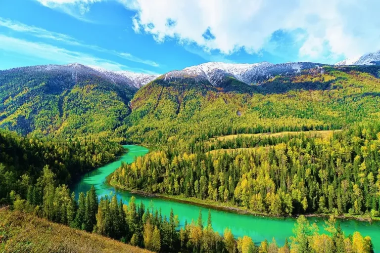
The best reason to stop in Huyanghe is the wetland park. Huyanghe National Wetland Park, also called the Huyang Water-rhythm Scenic Area, lies in the 130th Regiment’s 10th Company area, about 40 minutes from Kuitun. It is rated 3A and the main walking area is free. What makes it unusual is that the poplars grow in water, not desert. The Kuitun River’s slow channels and oxbows have created reed beds and shallow ponds where thousands of poplars stand ankle-deep in the reflection.
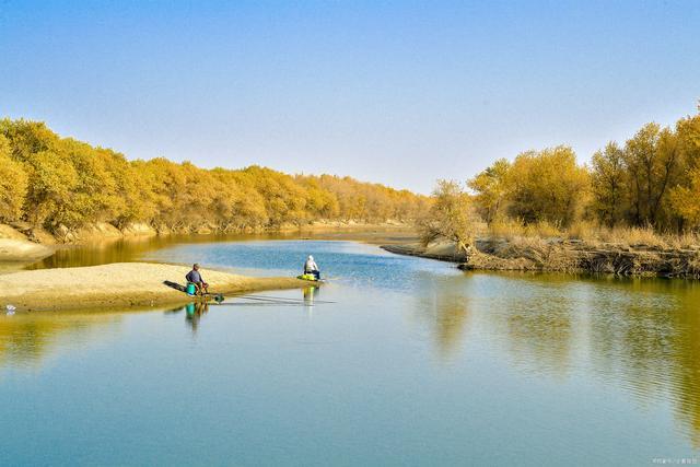
We visited on a weekday morning in early October and the boardwalk was almost empty. The 1.6-kilometre wooden path loops over the water and through the trees. A birdwatching tower gives a view over the reeds; the “Three Trees” platform faces west for sunset. The poplars turn gold in late September and stay colourful through most of October. The Xinjiang autumn foliage calendar page will help you time the colour if you are building a broader autumn loop.
Do not expect a wilderness reserve. The park is small, flat and partly landscaped, with paved parking and a few snack stalls. What it offers is ease and colour: you can walk the loop in an hour, photograph poplars reflected in black water, and be back in Kuitun for lunch.
The Kuitun River Grand Canyon next door
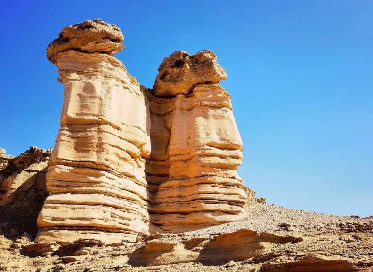
Twenty minutes east of the wetland, the same river has carved a different landscape. The Kuitun River Grand Canyon runs roughly north-south for about 20 kilometres at the junction of Wusu and Dushanzi. The river drops from the mountains and has cut a trench through red-brown sandstone, leaving near-vertical walls that layer like paper. In late-afternoon light the colours turn from rust to deep orange.
There are two ways to see it. The developed viewpoint charges a small entrance fee, around 30 yuan when we passed through, and gives safe, fenced views. The canyon is a landform, and there are also public roads and pullouts where you can look in without buying a ticket. If you have visited the Dushanzi Grand Canyon, the geology will feel familiar, but the Kuitun River canyon is narrower and more vertical. Wear grippy shoes; the rim dust is slippery outside the paid platform.
Gobi Mother and the 7th Division story
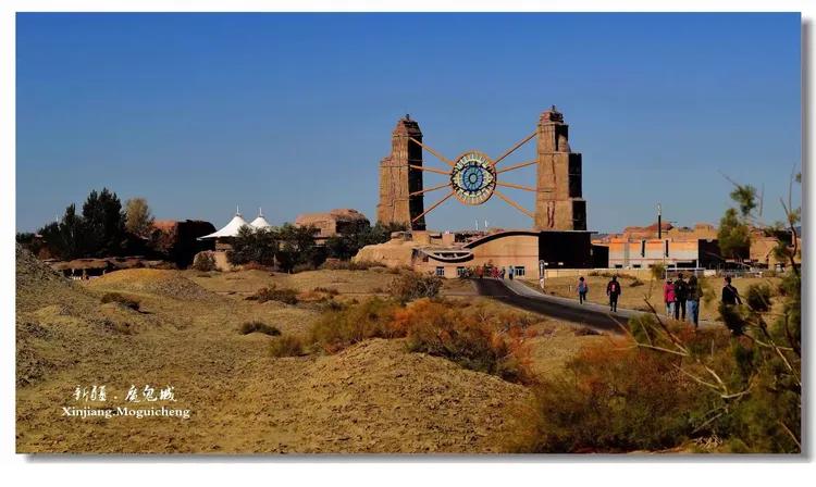
Most of the human history here is recent. The Gobi Mother Red Tourism Education Base in the 126th Regiment explains what the XPCC did. The free site is built around the real story of a mother who followed her husband to Xinjiang in the early 1950s; it became the basis for a Chinese television drama. It reconstructs the sunken earthen shelters called yaodong, displays farm tools and shows photographs of the first irrigation channels.
Huyanghe City Culture Center, in the new city centre, is smaller but useful. Its five rooms cover division history, urban planning, agriculture and industry, and it is also free. We spent about 45 minutes there and left with a clearer sense of why the city was placed here: flat land, river water, highway access and a population already living in the surrounding regiments.
The grassland option: Awasqi
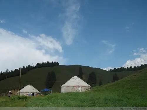
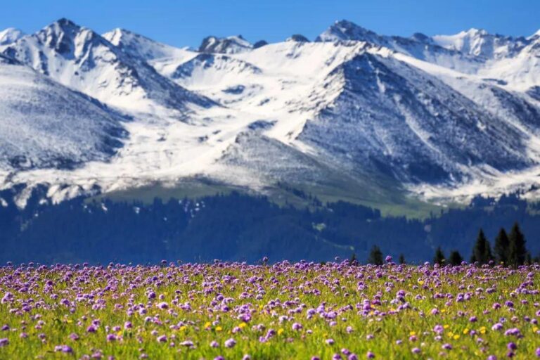
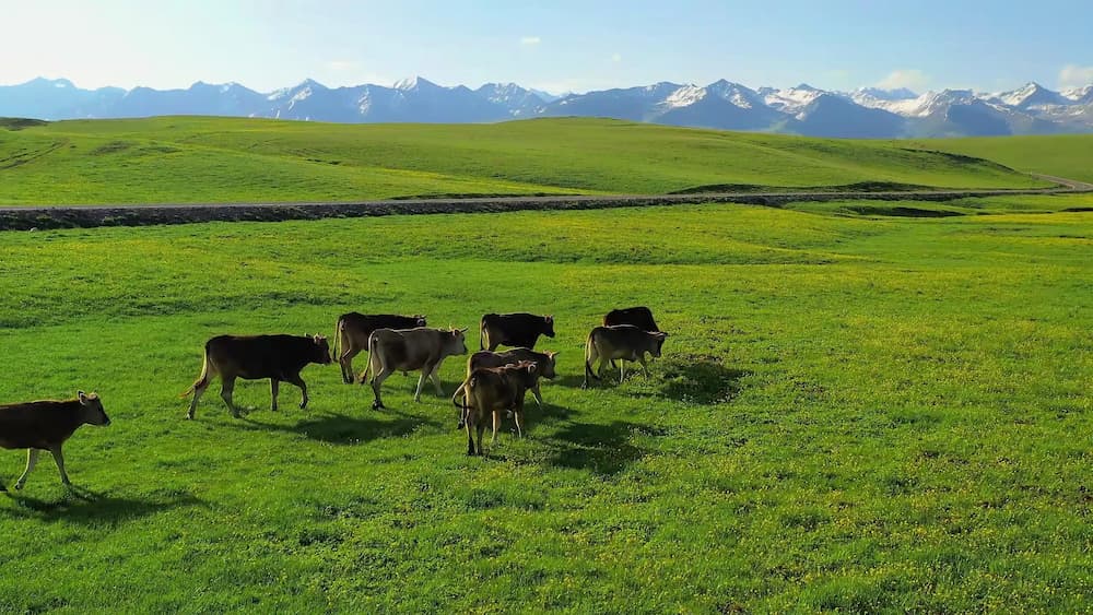
If you have a second day and a car, the Awasqi Grassland in the 137th Regiment is a different side of the same division. It sits at the foot of the Saur Mountains at around 2,500 metres, with roughly 58 kilometres of border with Kazakhstan. In summer the meadows are green and herds move through. The drive from Kuitun takes about two hours one way, so it is a full-day excursion. We did not make it up there on this trip, but the image below shows the kind of summer pasture you find in the higher country north of the Tianshan.
Getting to Huyanghe
Huyanghe has no airport and no long-distance train station. The gateway is Kuitun, 38 kilometres to the north, on the Lanzhou-Xinjiang railway and linked to Urumqi by frequent trains and coaches. From Urumqi it is about 240 kilometres by car, mostly on the G30 expressway, roughly three hours. Urumqi’s Tianshan Airport is the closest major hub.
Inside the city, taxis are thin; we used a car rented in Kuitun. G217 runs through the area, linking Dushanzi and Karamay to the north with the Ili valley to the west, so Huyanghe works as a sleepover between those two legs. If your itinerary follows the Karamay oil city route, this city is a logical place to break the journey.
Best season to visit
For the water-populus colour, late September to mid-October is the window; after the third week of October the leaves drop quickly and the boards can be icy in the morning. Spring and early summer turn the wetland green and bring nesting birds, but the poplars are not showy. July and August are hot and dusty, often above 35 degrees Celsius. Winter is quiet and cheap, and the canyon walls look dramatic against snow, but the wetland boardwalk may close after heavy snow.
We chose early October and thought it was right. The poplars were about 70 percent turned, the mornings were cold enough for a jacket, and the park had none of the crowds of better-known autumn sites. Bring layers; the Junggar Basin sun is strong but the desert wind is cold.
Where to stay
Most travellers base in Kuitun, which has the full range of hotels and restaurants and is only 30 to 40 minutes from the wetland. Huyanghe itself has a handful of business hotels near the municipal square. They are clean, inexpensive and aimed at officials and contractors rather than tourists. We paid under 200 yuan for a double with good heating and hot water. Do not expect English at the front desk.
What to eat in a 7th Division town
The food is northern Xinjiang farmhouse cooking shaped by migrants who came with the corps. Seek out the Gobi Mother reclamation bun, a large steamed bun filled with meat and vegetables recognised as a corps intangible cultural heritage, and Gaoquan tofu from the 124th Regiment, made with Tianshan spring water and stone-ground soybeans. Both are cheap and filling.
Beyond those, expect hand-pulled laghman noodles with oily meat and peppers, charcoal lamb skewers, clay-oven lamb and warm flatbread. We ate near the wetland park entrance where the owner served pickled cabbage and lamb pilaf in portions large enough for two. Vegetarians can manage on noodles, tofu and bread, but this is not a plant-based destination.
Small things that make the visit smoother
- Carry cash. The wetland snack stalls and some small restaurants prefer it.
- Download an offline map. Mobile signal is patchy around the canyon rim.
- Check the weather before the canyon. The rim is exposed and the wind is strong.
- Book Kuitun hotels ahead during the October poplar season.
- Bring a telephoto lens for the canyon; the best walls are across the gorge.
A two-day Huyanghe route
Day one: arrive from Urumqi by late morning and head to Huyanghe National Wetland Park. Walk the boardwalk, climb the bird tower, and wait for sunset at the Three Trees platform. Stay in Kuitun or Huyanghe. Day two: drive to the Kuitun River Grand Canyon for morning light, then visit the Gobi Mother base in the 126th Regiment. Add Awasqi Grassland if you have a third day. This is a low-mileage loop that pairs well with a Karamay or Dushanzi itinerary.
Frequently asked questions
Is Huyanghe worth a special trip? Probably not on its own. It works best as a stopover between Urumqi, Karamay and the Ili valley, or as an autumn poplar detour.
How do you pronounce Huyanghe? Roughly hoo-yahng-her. The name means poplar river.
Is the wetland park free? The main walking area and boardwalk are free. Parking and any boat services may charge a small fee.
How far is Huyanghe from Kuitun? About 38 kilometres, or 30 to 40 minutes by car.
Where our facts come from
The establishment date, administrative status and geographic figures come from the State Council’s 2019 approval document and 7th Division official releases. Attraction details are drawn from 2024-2026 reports by Xinjiang Production and Construction Corps media. Our account reflects a visit in early October 2026. Schedules, fees and road conditions change, so confirm anything time-sensitive before you travel. We are independent travel writers and nothing here is sponsored.
About the writer
Karl Huang has been travelling through Xinjiang since 2022 and writes most of the city-level guides on this site. He researches each piece against official notices and local reporting, then drives the route himself before publishing.