Published: October 25, 2026 | Author: Karl Huang
Most visitors to Xinjiang sail past Jinghe County at 140 kilometres an hour without ever stepping off the train. I did the same on my first trip in 2016, watching a blur of poplars and power lines from a window seat. It was only years later, when I started tracing how the province actually moves people and freight, that I understood what Jinghe County really is: the single point where the great east-west railway of the Second Eurasia Land Bridge splits, sending one line north to the Alashankou border and another southwest toward Yining and Khorgas. This page is not a generic town listing. It is a close look at why a county of 144,000 people in the Bortala region became the hinge of the northern Silk Road corridor, written from three stops there between 2019 and 2025.
How Jinghe became the hinge of the northern route
The northern branch of the ancient Silk Road never tried to cross the Taklamakan. It ran along the foot of the Tianshan, through the oasis belt on the southern edge of the Junggar Basin, and Jinghe sits squarely on that line. Caravans coming west from Urumqi and the Turpan depression reached a fork of dry riverbeds and grazing land here, with the Borohoro Mountains rising to the south and the open basin to the north. That geography has not changed in two thousand years; only the vehicles have.
What changed the modern map was steel. When the North Xinjiang Railway pushed west from Urumqi and reached the Soviet border at Alashankou in 1990, it had to pass through Jinghe. Then in 2004 a second line broke off from the Jinghe station and clawed its way southwest through the mountains to Yining and on to Khorgas, opening in 2009 and finally giving the Ili valley a railway of its own. From that moment Jinghe was no longer a waypoint. It was a switch.
Jinghe County by the numbers
| Fact | Detail |
|---|---|
| Full name | Jinghe County (精河县), Bortala Mongol Autonomous Prefecture |
| Area | 11,200 km² |
| Registered population | About 144,400 (as of January 2024) |
| Administration | 4 towns, 1 township; seat at Jinghe Town, No. 7 Yili Road |
| Established | 1888 as a Qing subprefecture; county restored 1981 |
| 2024 GDP | 11.88 billion yuan, up 5.7% year on year |
| Climate | Temperate arid continental; windy, with hot summers and cold winters |
The figures above come from the county’s public profile and the 2024 local economic release. What the table cannot show is the shape of the land: a tilted fan, high against the Borohoro range in the south and draining north into the basin. That slope is why water, wind, and roads all funnel through the same narrow corridor.
The railway fork that changed the map
I have stood on the footbridge at Jinghe station twice, and both times the thing that struck me was the sound. Trains do not terminate here; they arrive from the east and then either bank north toward Alashankou or swing southwest toward the Ili valley. The North Xinjiang Railway, a 460-kilometre extension of the Lanzhou-Xinjiang main line, runs straight through. The Jinghe-Yining-Khorgas Railway, built between 2004 and 2009, branches off the same station. For a county with no famous lake or cathedral, that junction is the landmark.
The practical effect is enormous. Before 2009, if you wanted to reach Yining by rail you simply could not; the Ili valley was the largest populated region in Xinjiang without a train. Jinghe is the collar that finally joined it to the national network, and every passenger and freight car heading to Khorgas now passes through this one station.
Standing on the platform at Jinghe station
The station itself is modest, a single-storey tiled hall with a square out front where drivers wait with handwritten destination cards. On my 2023 stop I had forty minutes between connections and spent them watching freight: long strings of container wagons, many sealed for the border, idling on the north side of the yard. A man selling roasted seeds from a cart told me, without irony, that more trains pass Jinghe in a day than most Chinese cities see in a week. He was probably right.
The road grid: G30, G312 and the spur to the lakes
Rail is only half the story. The G30 Lianyungang-Khorgas Expressway, the Chinese end of the Second Eurasia Land Bridge road route, runs through Jinghe, as does the older G312 national highway. From the county seat the roads fan out: west and northwest toward Bole and Sayram Lake, southwest into the Ili valley, and north to the Alashankou port. If you are driving the classic Urumqi to Yining run, you will almost certainly refuel and eat here without planning to.
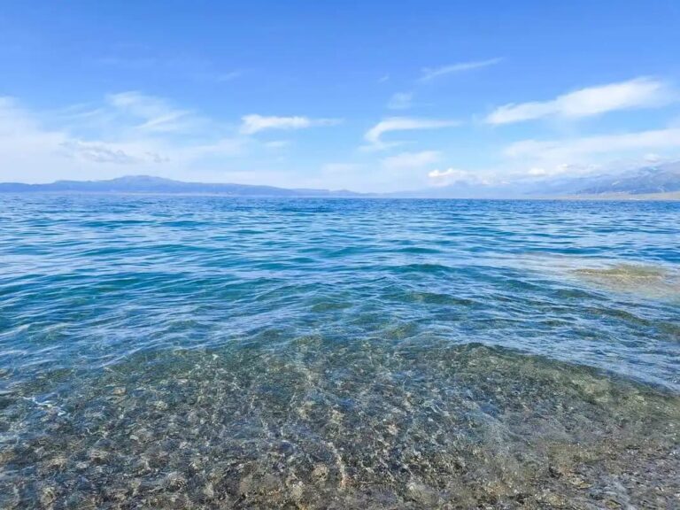
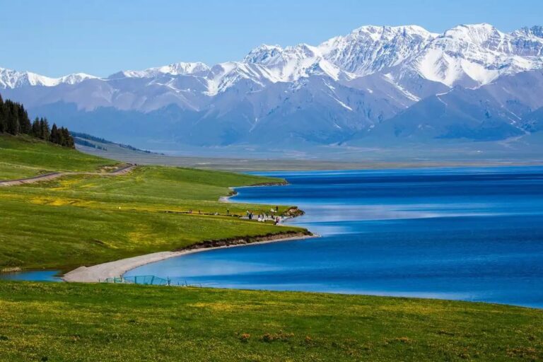
The spur to Sayram Lake deserves a word. The lake sits about ninety kilometres west, up over the mountains, and Jinghe is the last real town of size before the climb. Plenty of travellers use it as a low-cost base the night before a Sayram sunrise. Our separate guide to Bortala and Sayram Lake covers that drive in detail.
Where the freight trains actually go
Jinghe’s quiet ambition is logistics. The Jinghe International Rail-Highway Intermodal Logistics Park sits on the Y-shaped fulcrum between Alashankou and Khorgas, the two national first-class ports that bracket the county. The G30 and the Jinghe-Alashankou expressway cross here, and the Lanzhou-Xinjiang and Jinghe-Yining-Khorgas railways meet here too. A rail spur linked the park to the national network in 2021, and the first China-Europe freight train ran from it in early 2022. The Xinjiang Development and Reform Commission now describes Jinghe as the convergence point of the northern Xinjiang westward-opening corridor, and positions the Bole-Jinghe-Alashankou belt as a regional logistics node. Our page on Alashankou explains the border end of the same system.
Goji berries: the red cargo of the corridor
If railways are Jinghe’s backbone, goji berries are its signature. The county calls itself the hometown of Chinese goji, and the claim is not marketing fluff. Local planting covers more than 100,000 mu, well over half of Xinjiang’s total, and the berries have been cultivated here for close to a century. The reasons are written in the climate: more than 2,700 hours of sun a year, sharp day-night temperature swings, alkaline sandy soil, and meltwater off the Tianshan.
In 2025 the Jinghe goji was recognised as a geographical-indication product and folded into the EU-China geographical-indications agreement, the kind of paperwork that actually moves export volume. As reported in People’s China, a kilogram of fresh berries was fetching up to 126 yuan that season. I visited a field outside Tuoli town in late August 2024, when the bushes were heavy with fruit the colour of dried blood, and watched pickers fill shallow trays for the morning market. None of it tastes of the railway, but all of it rides the railway out.
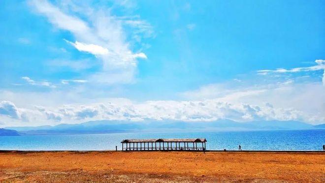
A windy afternoon at the logistics park
Jinghe sits in one of the windiest corridors in Xinjiang, and the logistics park makes a virtue of it. On the afternoon I walked the perimeter, the flag on the gate bent flat and a row of wind turbines turned steadily on the ridge behind the warehouses. The park is not a tourist stop and does not pretend to be; it is a working interchange where containers are restacked between road and rail before continuing to the border. If you are a trainspotter or supply-chain curious, it is oddly satisfying. If you are a normal traveller, ten minutes and a photograph are plenty.
Eating and sleeping in a junction town
As a junction, Jinghe keeps long hours and practical prices. The food is what you would expect at a crossroads of Han, Hui, Uyghur, and Kazakh communities: hand-pulled laghman, naan hot from the tandir, grilled lamb, and in autumn the local goji showing up in tea, porridge, and the occasional sticky sweet. The county is also a cotton and grain town, so the bread basket is real, not decorative.
Lodging runs from budget guesthouses to a few mid-range business hotels near the station; nothing fancy, all functional, and noticeably cheaper than Sayram Lake or Yining. My habit is one night in Jinghe to break the Urumqi-Yining drive, an early dinner, and an early start before the wind picks up.
When to travel through Jinghe
Jinghe has four distinct faces. Late August into September is goji season and the fields are the main draw. Spring, April to May, is mild and good for the drive west. Summer is hot and the corridor bakes, but the roads are clear. Winter is cold, windy, and quiet, with the passes toward Sayram occasionally closed by snow. If you are matching the wider region, our season-by-season guide to Xinjiang lays out the trade-offs across the whole province, and our guide to Ebinur Lake covers the saline lake just north of the county seat.
A half-day route we walked
This is the loop I give friends who have a morning in Jinghe and a car.
Morning – the station and the river. Start at Jinghe station to feel the junction, then walk the riverside green belt in the seat, where the county has built a tidy strip of paths and willow shade.
Mid-morning – a goji field. Drive out toward Tuoli town and stop at any roadside field in late summer; the growers are used to curious visitors and some sell fresh berries by the tray.
Late morning – the logistics park rim. Loop past the intermodal park for the wind-turbine ridge and the freight yards, then back to the seat for laghman before you continue west to Sayram or southwest to Yining. If you want a fuller Ili base, Yining is about two hours southwest.
Questions travellers ask about Jinghe County
Is Jinghe worth a dedicated stop? As a destination, only if you are chasing goji season or the railway story. As a refuelling and sleeping break on the Urumqi-Yining drive, it is genuinely useful.
Can I reach Sayram Lake from here? Yes. Jinghe is the last sizeable town before the climb to the lake, about ninety kilometres west, and many travellers base here the night before.
Do I need a border permit? The county seat is not a restricted area. Permits only enter the picture if you go north to the Alashankou port zone or push toward sensitive border strips, and those are arranged in Bole or Urumqi.
Is the logistics park open to visitors? It is an operating freight hub, not a museum. You can view it from the perimeter road, but do not expect tours or ticket offices.
A note on visiting Jinghe responsibly
This guide is built from personal stops and public sources, not a tour operator’s brochure. Railway timetables, goji prices, and the logistics park’s operations shift, and the wind closes mountain passes without warning. Treat the specifics as a starting point and confirm live details close to your travel dates. I have no commercial stake in any hotel, restaurant, or field named here.
About the author of this Jinghe guide
I’m Karl Huang, and I have been writing about Xinjiang travel for foreign visitors since 2019, with a focus on the Silk Road corridors and how the province actually connects. I have passed through Jinghe County on multiple trips by train and by car, and I keep these notes current when routes, ports, or prices change. Where I cite figures, they come from the county’s public profile, the Xinjiang Development and Reform Commission, and reporting from People’s China, not from memory.