Published: 6 November 2026 | Author: Karl Huang
Most people cross Mori County travel off their map before they ever see it. It sits on the road east of Urumqi, a long blue highway where the Tianshan steps down into the Junggar Basin, and the usual itinerary blows past it toward Qitai or the Gobi. That was my mistake on the first drive through, and I have been correcting it since. Mori (木垒哈萨克自治县) holds a better story underneath the headline sight: a county built on coal that is now covered in wind turbines, on a Silk Road line older than its mines.
| Snapshot | Detail |
|---|---|
| Full name | Mori Kazak Autonomous County (木垒哈萨克自治县) |
| Prefecture | Changji Hui Autonomous Prefecture |
| Area | 22,171 sq km |
| Population | about 89,000 (2025) |
| From Urumqi | roughly 270 km, 3 to 4 hours by road |
| Best window | May to October |
| Known for | coal and wind energy, Mori lamb, chickpeas, singing dunes, old poplars |
Mori County travel and the name the maps still argue about
The name alone tells you this is a borderland of cultures. 木垒 was written 穆垒 under the Qing, and scholars suspect it is a transliteration of an older steppe word, the same root some trace to 蒲类, the peoples the Han histories recorded north of the Tianshan. By the Tang it sat inside the Beiting Protectorate as 蒲类县. Mori is the easternmost county of Changji Prefecture and touches Mongolia along a border of about 88 km.
The coal seam and the wind that rewrote the county
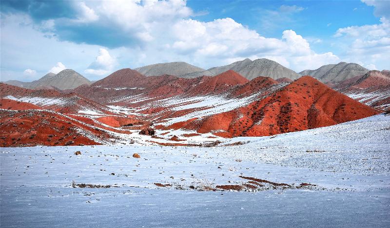
Here is the part most guides skip. Mori sits over part of the East Junggar coalfield, one of the largest in China, and the county is a node on the coal-to-east corridor that carries fuel and power out of the basin. Drive in from Urumqi and you will pass the rail and haul routes before you reach the town. The more striking sight now is above ground. Mori has built a wind-and-solar base with planned capacity past 80 million kilowatts, among the first county-level double ten-million-kilowatt new-energy bases in Xinjiang. On a clear day the ridges north of the basin are crowded with turbines turning in the same wind that once just blew the dust around. I found that contrast worth the trip by itself.
A Silk Road county older than its mines
Long before the coal, Mori was a post on the northern Silk Road. The county bills itself as an important stop on the east-Tianshan tourist loop, and the archaeology backs that up. The Sidaogou primitive-village site (四道沟遗址) inside the county is a national key cultural relic, with settlement layers going back thousands of years. There are also highland rock carvings, karez wells, and the steppe stone figures (草原石人) found across the northern grasslands. When officials call Mori a key Silk Road station, it is not marketing. The ground here has been crossed, farmed and fought over for a very long time.
What I found driving in from Urumqi
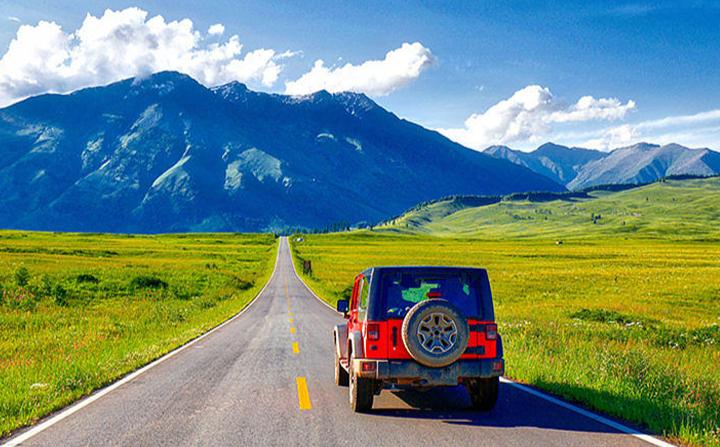
I came in on the G7, the Beijing-Xinjiang expressway, and the drive is the easy kind: long straight miles, the Tianshan on your right, the basin opening up ahead. Mori is about 270 km out, three to four hours with stops, and the road is good the whole way. We left Urumqi after an early breakfast and were walking the town by early afternoon. The one thing I did not expect was the air. Mori records around 355 clean-air days a year and calls the result 木垒四季蓝, “Mori’s four-season blue,” and on the day we arrived the sky really was that flat, dry, open blue you rarely get in a city. It made the turbines and the old mud-brick villages look like they belonged to the same picture.
Why Mori County sits beneath the northern Tianshan
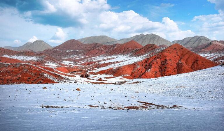
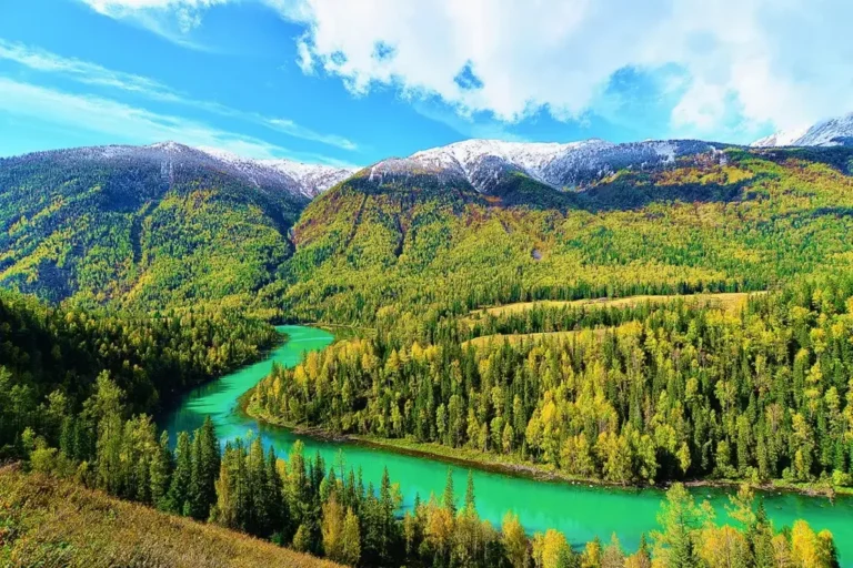
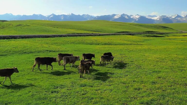
The geography explains almost everything. Mori lies on the northern foot of the eastern Tianshan, on the southeastern edge of the Junggar Basin, which gives it two faces: spruce and pasture to the south, desert, dunes and poplars to the north. The county is huge on paper, more than 22,000 sq km, but most people live in the green ribbon along the foothills, so the town feels small and the land feels endless. Put Mori east of Urumqi and east again of Qitai, at the point where the mountains hand the basin to the Gobi.
The dunes, the poplars and the stone men at its edge
The most photogenic stop is the singing sand dune (鸣沙山), which holds a Guinness record for the volume of its sliding sound, a low rumble you can hear from the car park on a dry windy afternoon. A short drive beyond it is the primitive poplar forest (原始胡杨林), the same golden desert woodland that draws crowds further south but is quieter here and easier to have to yourself in the shoulder season. Between them sit grassland stone figures and old karez systems that show how people pulled water and meaning out of a dry land. I spent an hour at the dune and another at a cluster of stone men, and both times the only other sound was the wind. Our separate guide to the Mulei Populus Euphratica Forest covers the forest in depth.
The county town you actually walk
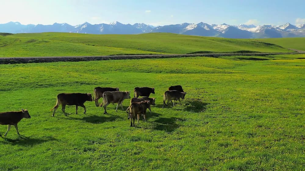
Mori town is compact, walkable, and calmer than the hubbub of Urumqi or the tourist drag of the big lakes. The centre is a grid of wide streets with a morning market, a few mosques, and restaurants that open early for the first pot of tea and plate of noodles. I liked it because there is nothing to do in the pressured sense: you drink tea, watch the light move across the basin, eat well, and sleep. The nearby Shuimohe resort and the Tianshan Mori China Agricultural Park, both 4A, give the town a green excuse to linger if the weather turns warm.
Where to sleep in and around Mori
The practical base is the county town, with the usual range of Chinese business hotels and a few newer places for road-trippers. For more character, the county holds several national traditional villages, including Yueliangdi, one of China’s beautiful villages in 2022; Mori was the only county in Xinjiang picked for the national traditional-village cluster programme. Staying near one puts you among mud-brick houses, apricot trees and the slow rhythm of Kazakh pastoral life. Book ahead in the autumn poplar season, when the few rooms fill fast.
Mori lamb and the chickpeas of the drylands
The food is the other reason to stop, and the honest highlight. Mori lamb (木垒羊肉) carries a national geographical-indication label, and cooked simply, boiled with salt and onions or grilled over coals, it is mild and sweet in a way lamb from wetter country rarely is. The other local claim to fame is the chickpea (鹰嘴豆): Mori calls itself China’s chickpea township and grows a large share of the country’s crop. You will see it boiled and sold by the bowl, roasted dry, or folded into noodles. Round it out with white peas, long-eyebrow camel dairy, and a glass of millett wine, a broomcorn-millet liquor unlike the grape wine of the south. We ate at a small place off the main street and the bill for two came to less than a hotel breakfast on the coast.
When the light is best and the wind dies down
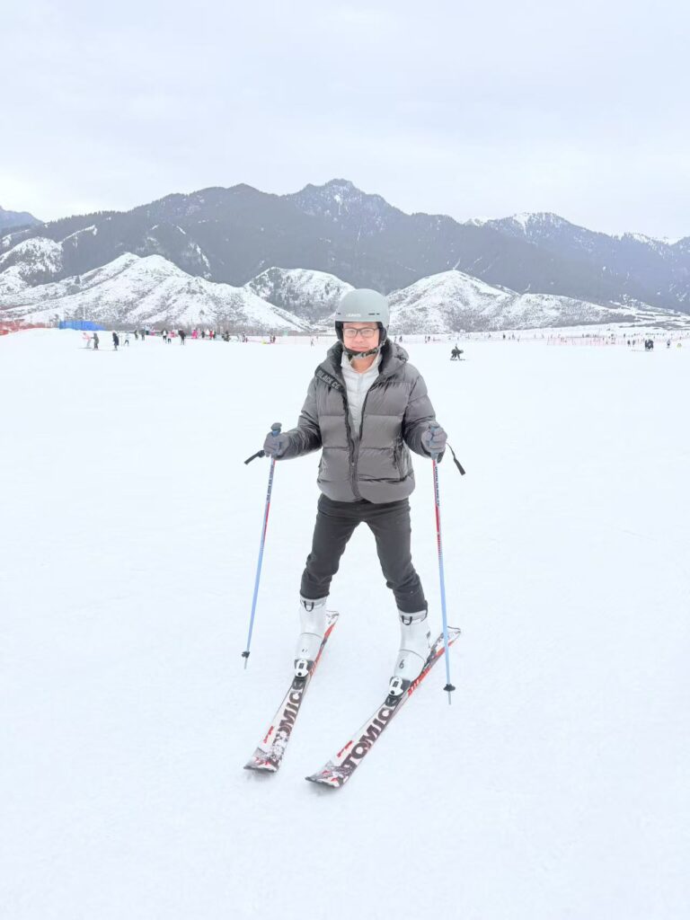
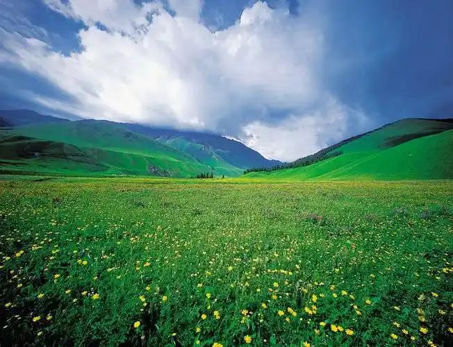
May through October is the window. Spring wakes the basin’s fields and keeps the sites walkable; summer stays mild thanks to the altitude, though midday sun is strong; September and October are the sweet spot, with the poplars turning and the crowds still low. Winter is long, cold and very blue, and while the county has started running ice-and-snow events, deep freeze is not the time for outdoor ruins. I went in late spring and had the dunes almost to myself. Our best time to visit Xinjiang guide covers the wider regional pattern.
A one-day loop from the town
If you have a car and a single day, base yourself in Mori town and run a clockwise loop. Leave after breakfast for the singing dunes, about half an hour out, walk the sand and listen for the rumble, then continue to the edge of the poplar forest for an hour among the old trees. Double back to the Sidaogou site if archaeology interests you, or up toward the Shuimohe resort for a riverside lunch. That loop took us from a Guinness-record dune to a Silk Road ruin to a quiet village street without leaving the basin, and we were back in town for an early dinner. Add a second day only if you want to sleep in one of the traditional villages.
Small things that make Mori easier
A few practical notes. Fuel up and stock water in the county town; the scattered sites have little beyond the occasional stall. The wind is real, so bring a jacket even in summer and a hat, because shade is scarce at the dunes and ruins. Mobile payment works in town but not reliably at remote sites, so keep cash. A private car or chartered driver makes the loop far simpler than sporadic buses, and Mori pairs naturally with Qitai County to the west if you are exploring the northern route.
Questions travellers ask about Mori County
Is Mori worth a stop driving Urumqi to Qitai or the Gobi? Yes, and even a half day at the dunes and the town beats pushing straight through. Can I reach it by train? Most visitors drive or take a coach from Urumqi; a car gives you the site loop. Is the food different? The lamb and chickpea dishes are distinct enough to plan a meal around, and the millet liquor is unique to the area. Do I need a border permit? No, the town and sites are open; only the Mongolia border zone is restricted. For the deeper thread, our Silk Road history timeline puts Mori in the longer caravan story, and the Urumqi travel guide covers your starting city.
A note on what Mori County is not
I should be straight about the limits. Mori is not a polished resort and it is not a headline destination with queues and audio guides. The ruins are weathered and the signage is patchy; the attractions are often just a hill, a dune or a cluster of old stones you meet halfway with your own curiosity. The energy story, the lamb and the blue sky are real; the theme-park version is not. Arrive expecting air-conditioned exhibits and you will be let down. Arrive curious about how a coal-and-wind county on an ancient road actually lives, and it will reward you.
About the person who wrote this guide
Karl Huang is a Xinjiang-based travel writer who has driven most of the region’s Silk Road corridors over the past decade. He prefers the overlooked county towns to the headline lakes and writes from first-hand visits rather than second-hand summaries. This guide was last updated after a spring 2026 drive through the Mori basin on the G7.