Published: October 23, 2026 | Author: Karl Huang
We first rolled into Tekes on a Tuesday evening in June, following the last light out of the Ili valley, and the thing that struck us was not a monument but a feeling: every junction we reached forced a slow, courteous circle. There are no traffic lights in the old core of this county town, and after three days we had stopped missing them. Tekes is the seat of Tekes County in the Ili Kazakh Autonomous Prefecture, and its street grid was laid out in the shape of a bagua, the eight-trigram diagram from the I Ching. Most visitors treat it as a quick photo stop on the way to somewhere else. We stayed nine nights and used it as a base to reach grasslands and horse counties that the big tour buses tend to skip. This is the guide we wish we had packed before we arrived.
| At a glance | |
|---|---|
| Where | Tekes County, Ili Kazakh Autonomous Prefecture, Xinjiang |
| Street plan | Eight trigram avenues + four ring roads, laid out in 1936 |
| The quirk | No permanent traffic lights in the old core (removed in 1996) |
| Nearest hub | Yining city, about 115 km northwest |
| Best window | Late June to early July; April blossoms; September gold |
| Use it as a base for | Kalajun, Qiaxi, Kuerdening, Zhaosu |
Why We Based Ourselves in Tekes
Plenty of travellers sleep in Yining and make Tekes a day trip. We did the reverse, and it changed the trip. Yining is a real city with better hotels, but it sits an hour and a half from the mountains; Tekes sits right at the mouth of the valleys. From a guesthouse on Kun Street we could be on an empty grassland road within twenty minutes of starting the car. The town is small, walkable, and cheap, and the calm of the roundabout grid makes evenings feel unhurried in a way a provincial capital never does. If your plan is Ili’s grasslands rather than its city life, basing in Tekes simply costs you less driving.
Driving the Rings for a Week
The no-traffic-light story is real, but it is also a little more nuanced than the postcards suggest. Fixed signals in the old core were taken down in 1996; today every junction inside the four inner rings is a roundabout, and they work because the town is small and the streets feed into each other cleanly. In peak summer the county sets up temporary movable lights and posts traffic police at the busiest nodes, so do not picture a lawless free-for-all. What you will notice is how much slower everyone drives. The geometry itself is worth understanding: eight avenues radiate from the central Bagua plaza, each named for a trigram (Qian, Kun, Li, Kan and the rest) and running about 1,200 metres, wrapped by four concentric ring roads. We got turned around constantly because the streets look alike, and a shopkeeper told us the layout was meant to shelter the central market from the wind as much as to look like a cosmic diagram. Whether or not that is true, it makes for a town you actually have to pay attention to.
Mornings at the Tekes Bazaar
We made a habit of the morning market on the east side of the centre. By eight the stalls were stacked with sheep’s-milk cheese, fresh naan still warm from the tandir oven, bowls of kumis, and whatever fruit was in season (melons in June, apples later). The vendors are mostly Kazakh and Kyrgyz herders who have driven down from the surrounding counties, and a breakfast of naan, cheese and weak milk tea cost us less than a coffee back home. It is the easiest place in town to feel the working rhythm of the place rather than its postcard geometry, and the walk there took us through three rings of the bagua without once needing a traffic light.
Li Street After Dark
Just off the Li (离) avenue is Li Street, a restored mud-brick lane that the county has turned into a folk-culture strip. During the day it is a photo backdrop; after dark, when the lanterns come on and someone opens a door playing a dutar, it is genuinely pleasant. There are small restaurants doing hand-pulled noodles and grilled meat, a few workshops selling embroidery and felt, and not much pressure to buy anything. We ended two of our nights there with a plate of laghman and a walk back through the quiet rings. It is a different face of the town from the aerial-diagram view most articles fixate on.
Cycling the Outer Loop at Blue Hour
On our fourth morning we rented bikes from a shop near the plaza for about 25 yuan a day and rode the outermost ring road, roughly an eight-kilometre loop that traces the edge of the built town. Blue hour, just after sunrise, is the time to do it: the light is soft, the tour buses have not arrived, and you get the whole geometry without the confusion of the inner curves. The ride also spills you out toward open country where the Ili valley turns to flower-strewn pasture, a reminder of why this corner of Xinjiang draws people in the first place.
Day Trip One: The Kalajun Meadows
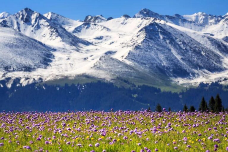
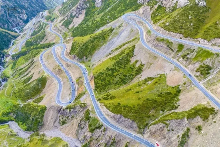
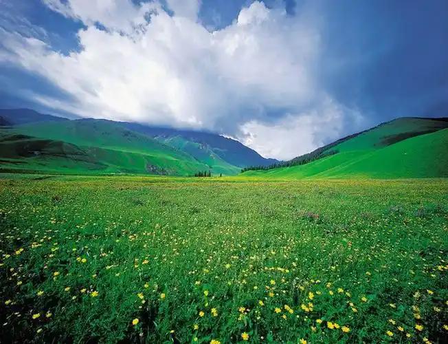
About thirty kilometres east of town, Kalajun is the headline day trip and the reason many people come to Tekes at all. The meadow sits on a UNESCO-listed stretch of the Silk Roads corridor and is protected as a scenic area with wide wildflower slopes, snow peaks to the south, and yurt camps where you can stay the night. We spent a full day riding a horse along the ridge line and wished we had booked a yurt. It is an easy half-day from a Tekes base, which is exactly why basing here beats a Yining day trip. For the deeper background on the meadow and how to plan a visit, see our guide to the Kalajun grassland.
Day Trip Two: Qiaxi and the Spruce Valleys
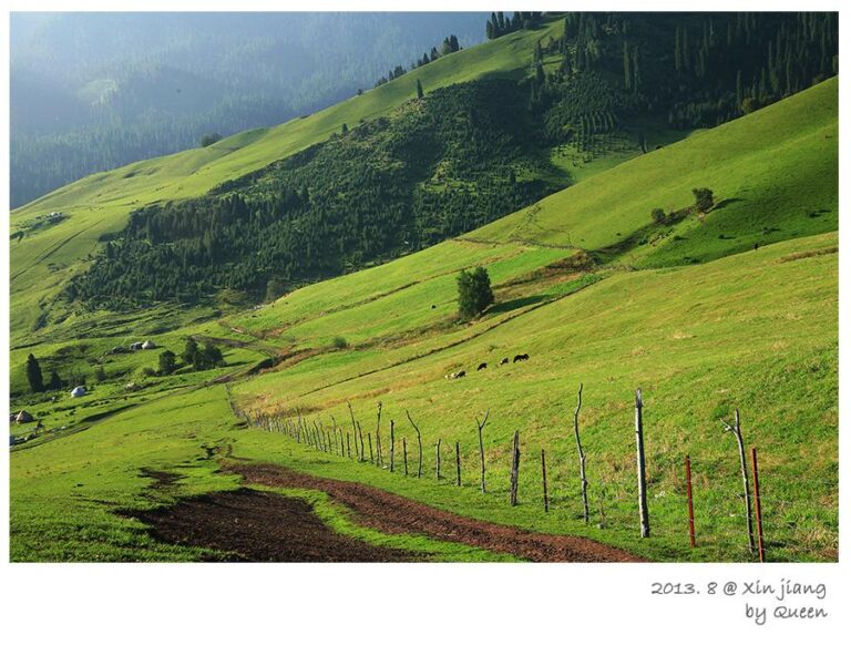
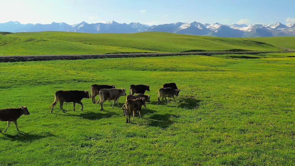
Drive east instead and you reach Qiaxi and, a little further, the Kuerdening spruce forest. These are cooler, greener contrasts to the open meadow: glacial side valleys, stands of old Tianshan spruce, and snow-fed creeks. We did Qiaxi as a long morning and were back in Tekes for a late lunch. Kuerdening is the larger of the two and worth its own day if you like forests and quiet trails; our separate write-up on the Kuerdening spruce forest covers the logistics.
Day Trip Three: Zhaosu and the Heavenly Horses
South of Tekes lies Zhaosu, the county famous for its heavenly horses and its endless rapeseed blooms in early summer. The quick road is the G577; the more famous Yizhao Highway (S237) is faster and more dramatic but closes in winter, so check the season before you commit. We went in June and caught both the green pastures and the tail of the blossom. Zhaosu is a longer run than Kalajun, better as a full day, and our piece on the heavenly horses of Zhaosu explains what to see when you get there.
Setting Up Base: Renting a Car in Yining
Tekes has no train station, and the nearest airport and rail link is Yining, about 115 kilometres to the northwest. We flew Urumqi to Yining (around eighty minutes) and picked up a rental at the airport, which gave us the freedom to run the day trips on our own clock. If you would rather not drive, shared vans run Yining to Tekes in roughly ninety minutes to two hours for about 150 to 250 yuan a seat, while a private car runs 400 to 600 yuan. Having our own wheels was the single decision that made the base-town strategy work; without it, Tekes is just another stop on a fixed loop.
Why We Came in Late June
Timing decided a lot of what we saw. Late June put the Ili valleys at their greenest, opened the wildflowers on Kalajun, and lined the roads with blossom; daytime highs sat in the mid-twenties, perfect for grassland walks. The lavender fields of neighbouring Huocheng were in full flower the same week, which turned even the drives between towns into something to look forward to. April brings apricot blossom in the surrounding villages, September paints the valleys gold and thins the crowds, and winter (roughly November to March) is long, cold and best avoided for a first visit. For a region-wide view of the seasons, our best time to visit Xinjiang guide breaks it down prefecture by prefecture.
A Five-Night Tekes Base Plan
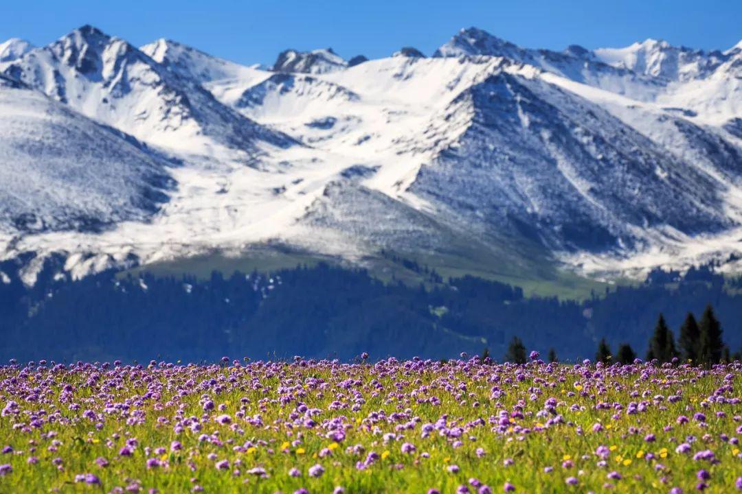
This is the shape of the trip we actually took. Nights one and two: settle in, walk the rings, do the bazaar and Li Street, and cycle the outer loop at sunrise. Day three: Kalajun meadow and, if the weather holds, a yurt night up top. Day four: Qiaxi and Kuerdening to the east. Day five: Zhaosu to the south, returning for a final night in town. That leaves a spare day for weather or a second Kalajun morning. It is more relaxed than the usual two-night dash and, because Tekes sits at the hub of these valleys, it costs less driving than basing anywhere else.
Frequently Asked Questions
Is Tekes really without traffic lights? The old core is. Fixed signals were removed in 1996 and the inner rings still run on roundabouts; in peak summer the county adds temporary movable lights and police at the busiest junctions, and the newer outer districts have normal lights.
How many days should I stay? As a base, three to five nights lets you cover Kalajun, Qiaxi or Kuerdening, and Zhaosu without rushing. As a photo stop, two hours is enough to see the grid.
Can I climb the central tower? Yes, the central Bagua plaza has an observation tower that lays the geometry out from above; go at sunset when the light is kind and the crowds have thinned.
Are roads open year-round? The G577 to Zhaosu is open all year, but the scenic Yizhao Highway (S237) closes in winter. Check the season before planning the southern day trip.
Will language be a problem? Mandarin gets you through shops and hotels; Kazakh and Uyghur are widely spoken in the countryside. A translation app and a map that works offline cover most gaps.
Disclaimer: This account reflects our own June 2026 visit. Opening hours, road closures, prices and transport connections in Xinjiang change often and can differ by season or by notice; verify the specifics with the venue or a current local source before you travel. Nothing here is official advice.
About the Author
Karl Huang is a travel writer who has spent several seasons exploring Xinjiang’s Ili valley by rental car. He prefers slow, base-town trips over whistle-stop tours and writes practical, first-hand guides for visitors to Xinjiang Attractions. He last travelled the Tekes ring roads in June 2026.