Published: 2026-09-07 | Author: Karl Huang
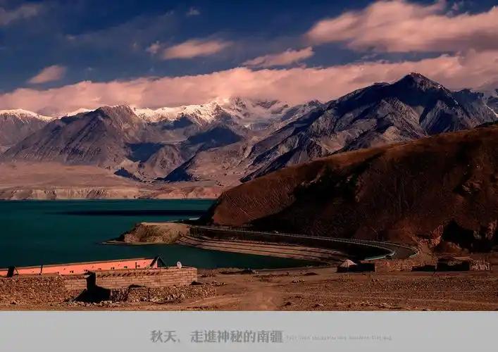
Nileke County sits at the eastern tip of the Ili Valley, where the Kash River cuts through the western Tianshan before spilling west into Yining. Foreign travelers mostly skip it. The bus from Yining stops, the guidebooks say “see the Tangbula Grassland and leave,” and the next chapter of any itinerary is already Kalajun or Sayram. After three trips to Nilka and a slow October drive along the S315, I think that is a mistake. This is a county that runs on water, on copper, and on Kazakh summer pasture.
Why you can trust this guide
I have driven the S315 from Qiao’erma to Bee Town twice, parked overnight at the Jilintai overlook, and walked the riverside trail below the Nulasai copper site. The figures below come from the Nileke County yearbook, Xinjiang hydrological surveys for the Kash River, and the carbon-dated excavation report on the Nulasai site.
Nileke County at a glance
| Item | Figure |
|---|---|
| Area | 10,130 km² |
| Shape | Willow-leaf, 243 km east-west × 70 km north-south |
| Elevation range | 800 m to 4,590 m |
| Population (2022 registered) | ~170,000 across 32 ethnic groups |
| Largest group | Kazakh (about 48.6 percent) |
| Distance from Yining | 112-113 km by road |
| Distance from Urumqi | 516 km via Dushanzi and G217 |
| County seat | Nilka Town at the Uzan-Kash confluence |
| Rail access | Jing-Yining-Horgos Railway, first passenger-freight station entering Ili |
| Three major river systems | Kash (270 km inside county), Kunes (42 km), Axialla (60 km) |
| Annual pasture area | 10.16 million mu, 9.808 million mu usable |
| 2024 GDP | 8.116 billion yuan, up 5 percent year on year |
What I got wrong about Nileke the first time
My first visit was a rushed July afternoon. I drove straight through to Tangbula, snapped a few grassland shots, and turned around. I thought of Nilka as Tangbula plus a bit of bee honey. On the second trip I slowed down and read the county yearbook on a rainy evening, and on the third I drove the S315 the right way, from Qiao’erma west to Bee Town, instead of bussing in from Yining. Three things clicked. The Kash River is not scenery around the road, it is the road. The Nulasai copper pit is older than the Han dynasty, not a scenic replica. And the Kazakh herders on the terraces between Jilintai and Qiao’erma are running one of the more interesting summer-pasture economies in Xinjiang.
Reading the name: Nileke, the Kash River, and why water runs this county
The county name is Mongolian. The standard translation is “new life” or “hope,” and the folk reading is “infant.” Both make sense once you have seen how thin and fast the upper Kash is in June. The Kash drains 9,578 km² and runs 304 km from the Yilianhabirga and Bogda headwaters to its junction with the Kunes near Yining. Nileke owns 270 of those kilometers and the 8,656 km² catchment above Tuohai. That single river is the reason there is pasture here at all. Bring warm clothes even in July; the valley floor sits around 1,000 m and the snowline is two hours up the road.
Two shorter rivers run parallel. The Kunes in the south feeds the alluvial fan that grows the Tangbula hay meadows. The Axialla in the north drains the Borokunu range straight into the Yili watershed. With the Kash they carry 5.863 billion m³ a year, making Nileke one of the wetter counties in Xinjiang. The county yearbook lists 24 scenic spots and 12 A-rated sites, almost all on water or pasture.
Nulasai: the Bronze Age copper mine above the valley
About 3 km south of the county seat, a dirt track climbs into the Nulasai valley on the northern slope of the Awurale range. This is the oldest confirmed smelting site in northwest China. The four surviving mine entrances (numbered 1 to 4) sit above a 20-meter vertical shaft braced with horizontal timbers. Carbon-dated timbers gave 2,440 ± 75 years before present, putting the working mine in the early Warring States period. The slag heap is 20 m long, 1.5 m wide, and 0.5 m thick, and the rough matte ingots assayed at 60 percent copper. Modern metallurgy confirms a ternary copper-arsenic-lead alloy, smelted with charcoal in a shaft furnace.
The site was first flagged in a 1957 geological survey, re-examined by Xinjiang archaeologists in 1976, and excavated in 1989. In 2001 it became a fifth-batch National Key Cultural Relics Protection Unit. In September 2025 the county museum began a conservation project with five new cameras, repaired gates, and updated interpretation panels, supported by a Jiangsu援助 team from Changzhou’s Wujin district. Visiting is free, but the shafts are fenced. What you come for is the walk up the valley floor: the slag heap, the stone hammers lying where miners dropped them, and the view back across the Kash to the county seat.
Jilintai and the Kash River canyon: power, water and a very big dam
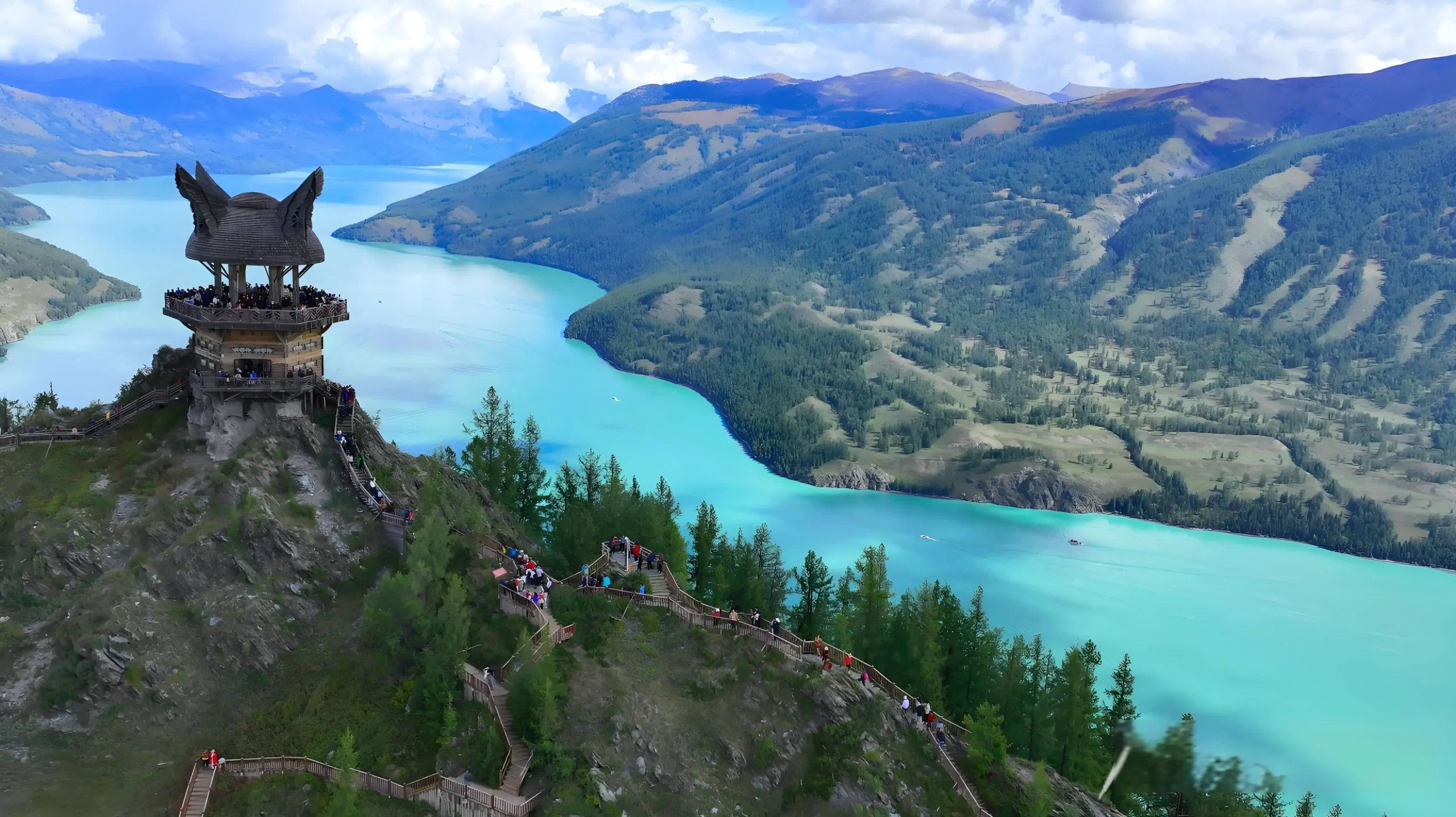
About 32 km east of the county seat, the Kash River enters a V-shaped gorge cut into Jurassic volcanic rocks. The Jilintai-I hydropower station sits across the gorge. The dam is a concrete face sand-gravel rockfill structure, 157 m high and 445 m along the crest, designed against a IX-intensity earthquake. The reservoir holds 2.53 billion m³, and the four 115 MW Francis turbines generate 938 million kWh in an average year. The station opened in August 2006 after a 5.86-billion-yuan build and for several years was Xinjiang’s largest hydropower plant by installed capacity. The reservoir also drives Xinjiang’s biggest fish-stocking station. Stop at the lower overlook for the best photo of the dam wall against the canyon.
The S315 back door: reaching Qiao’erma without the Duku traffic
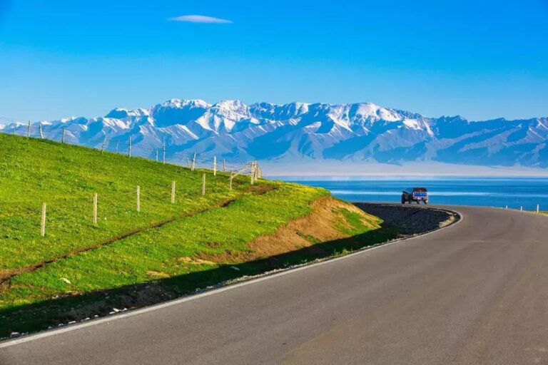
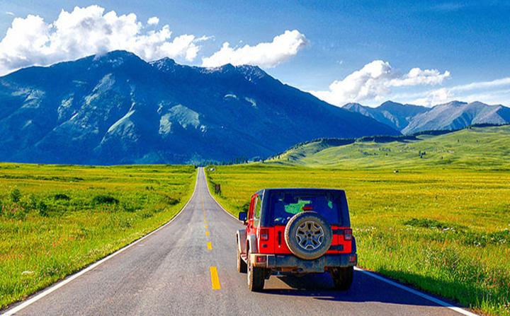
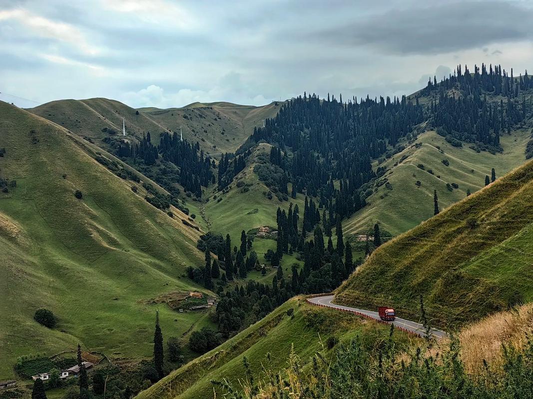
This is the single best reason to put Nileke on your itinerary. The S315 runs 130 km along the south bank of the Kash from Qiao’erma, where it joins the northern Duku Highway (G217), west to Bee Town at the Tangbula end of the corridor. The whole road is paved, free, and almost empty in normal weeks, even when the main Duku Highway is bumper-to-bumper in July. Most of our readers only know the road through our guide to Tangbula Grassland; in this guide the S315 is the spine that ties the county together.
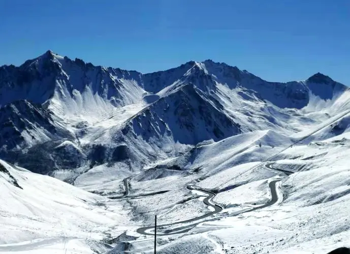
The road climbs from 1,600 m to about 2,400 m at the Mengkete junction, where a 12 km gravel spur peels off to the Mengkete ancient road. That spur is the 2,000-year-old Wusun corridor used in 161-160 BC when the Xiongnu pushed them out of the Hexi corridor, and the same line was scouted in the 1970s as an early alternative for what became the Duku Highway. Allow two hours each way in a normal car, longer in rain, and avoid it in a sedan after October.
Kazakh herding life on the Kash River terraces
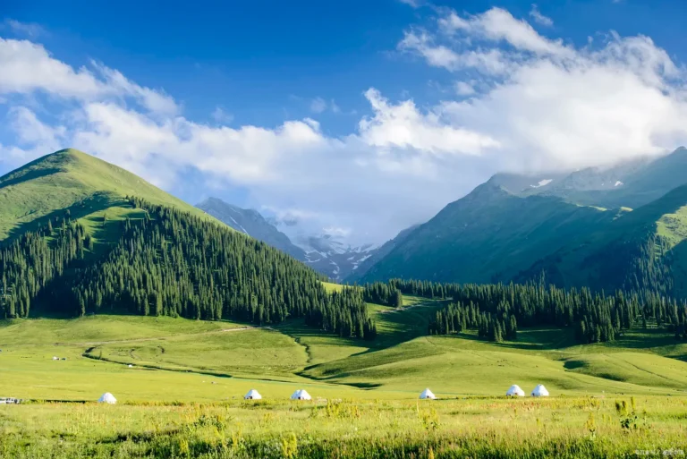
The Kazakh proportion of the county is roughly 48.6 percent, the highest share of any Ili Valley county. Most families you will see between Nilka Town and the Tangbula end of the S315 are Kazakh summer herders moving between April and October camps. The county lists 1.016 million mu of grassland, 9.808 million mu usable, and the herders rotate between river terraces in spring, mid-slope meadows in early summer, and high pastures above 2,500 m in August. The milk, butter, and cheese at the roadside yurts are genuinely local, and the herders will almost always offer you salted milk tea if you stop and ask. Nileke is one of the better places to see the Ili Kazakh economy functioning rather than staged.
Getting to Nileke County
From Yining, take the G578 east, then the S242 directly to the county. The run is 112-113 km and takes about 2 hours. Buses run from Yining’s long-distance station to Nilka Town several times a day in summer, fewer in winter, with a through-fare of 35-45 yuan. The Jing-Yining-Horgos Railway stops at Nilka Station, the first passenger-and-freight station as it enters Ili, and that is the easiest option from Urumqi. For a deeper look at the Yining end of the valley, see our Yining travel guide. Yining Airport is 95 km to the west, Nalati Airport roughly 180 km to the east. From Urumqi the G217 via Dushanzi works in summer but closes with the first snow; the safer year-round option is south to Yining and then east on the G578.
When to go, season by season
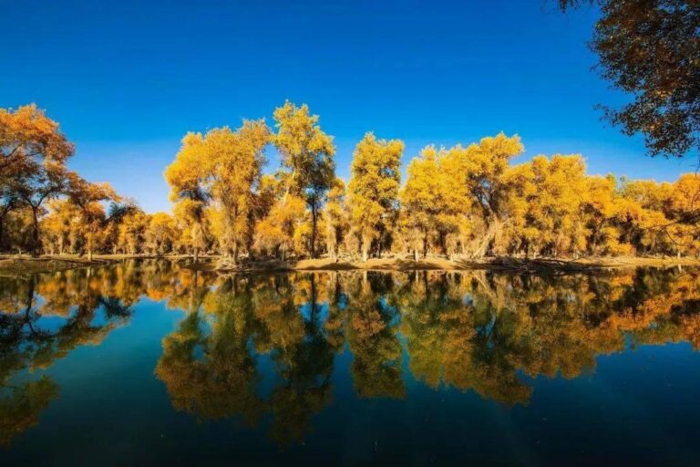
The Kash River valley opens up by late April. May and June are the greenest months, with snowmelt at its peak. July and August are the high season for Kazakh herding camps and the safest months for the Duku Highway and the Mengkete spur. Mid-September through mid-October is the larch and birch turn, the best time for photography, though the high passes can close early. November through March is genuinely cold, with county temperatures below minus 20°C at night, and many higher roads close. Aim for late May to mid-October.
Where to stay
Most travelers base in Nilka Town. The hotels are functional rather than atmospheric, but they have hot water, Wi-Fi, and parking, and prices in 2026 sit around 250-380 yuan for a twin in summer. Bee Town (种蜂场), at the western end of the S315 corridor, has family guesthouses convenient for the Tangbula side. Along the S315 itself there are Kazakh yurt camps between Bee Town and the Mengkete junction, mostly shared-bath, simple bedding, 100-200 yuan per person, book ahead in July and August. For travelers combining with the Duku Highway, the small hotels at Qiao’erma are the obvious overnight before driving the S315 west.
What to eat
Nileke is Kazakh country. Hand-pulled lamb (手抓羊肉), served in big metal plates with a clear broth on the side, is the standard lunch. Naren (那仁) is the local lamb-and-noodle dish, often served family-style at the yurt camps. Salted milk tea with baursak fried dough is the breakfast drink. The county’s other claim is the Nilka black bee honey; the Tangbula honey from the high-pasture camps is the best souvenir. For the bee valley itself, see our Nilka bee guide. For Uyghur food, the better restaurants are back in Yining.
Practical tips
Download offline maps. Cell signal disappears between the 30 km and 90 km marks of the S315. Bring a real jacket. Daytime highs in July sit around 25°C and nights drop to 7-10°C, and the Jilintai overlook is its own wind tunnel. Stock water and snacks before leaving Bee Town or Nilka Town. Slow down on the hairpin sections. Do not drive onto herders’ private pastures without asking. Carry small cash for the Mengkete spur (200 yuan per car), Fairy Lake fee (10 yuan), and Xiaohuashan platform (15 yuan).
A three-day Nileke loop
Day 1. Fly or train into Yining, drive east on the G578 to Nilka Town, and spend the afternoon at the Nulasai copper site on the south bank of the Kash River. Dinner of hand-pulled lamb in town. Day 2. Drive east from Nilka Town to Qiao’erma via the S315, with stops at the Jilintai dam overlook and the Mengkete junction. Lunch in Qiao’erma and, time permitting, the Duku martyrs memorial. Either overnight at Qiao’erma (for a Duku crossing next day) or return west on the S315 to Bee Town. Day 3. Drive the western half of the S315 from Bee Town through the Tangbula corridor, with a morning hike to Fairy Lake and a sunset stop at the Xiaohuashan viewing platform. Return to Yining via Nilka Town, or continue south to Xinyuan and the Nalati side.
Frequently asked questions
Is Nileke County the same place as Nilka?
Yes. Nileke is the official Hanyu pinyin, Nilka is the Uyghur-derived spelling on older maps and road signs.
Do I need a permit?
No. The Nulasai site is open, the S315 is open, and the Jilintai dam road is open to foreigners with a passport check at the gate.
Can I do the S315 in a normal car?
Yes for the main road. The Mengkete spur is gravel and rough; avoid it in a low-clearance vehicle after rain.
Is the Duku Highway open year-round?
No. The northern Duku is open roughly June through October and closes for snow the rest of the year. The S315 stays open longer but check road reports before driving in winter.
Where does the county name come from?
Mongolian, with the standard translation “new life” or “hope” and the folk reading “infant.”
Disclaimer
All prices, road conditions, and entry fees reflect conditions as of late August 2026. The Kash River valley is remote; road closures and weather can change plans with little notice. Verify current conditions before driving the S315 or the Mengkete spur. This article is general information and does not substitute for local advice.
About the author
Karl Huang has been writing about Xinjiang travel since 2019, with a focus on the Ili Valley and the Duku Highway corridor.