Published: October 23, 2026 | Author: Karl Huang
Most travelers have never heard of Ruoqiang County, and that is exactly why it stayed on my list for years. It sits in the southeast corner of Xinjiang, where the Taklamakan Desert runs out of sand and the Altun Mountains rise to meet the Tibetan Plateau. When I finally drove in from Korla, what struck me first was not a sight but a number: this single county covers more ground than many countries, yet holds barely forty thousand people. The place is less a destination than a frontier, and the more I learned, the more I wanted to explain how it actually fits together.
The numbers that define Ruoqiang County
Ruoqiang (若羌) is the largest county-level unit in all of China by area. Official figures from the Ruoqiang government put it at roughly 202,300 square kilometers, about twice the size of Jiangsu or Zhejiang province stacked together. The permanent population is around 43,000, which means you can drive for hours without seeing another town. The county seat, Charklik (若羌镇), sits about 894 kilometers from Ürümqi by road and at the meeting point of several old trade routes.
The land itself runs from 768 meters in the northern basin up to 6,900 meters on the southern mountain rim. Average yearly temperature hovers near 11.8°C, but summer afternoons can climb past 43°C. Those extremes shape everything about a visit.
| Fact | Figure |
|---|---|
| County area | ~202,300 km² (China’s largest county) |
| Population | ~43,000 (2020 census) |
| Elevation range | 768 m to 6,900 m |
| Distance from Ürümqi | ~894 km by road |
| Avg annual temperature | 11.8°C |
| County seat | Charklik (若羌镇) |
What we found at the foot of the Altun Mountains
I reached the southern edge of the county on a clear October morning, the kind where the air is so dry it feels polished. Standing there, with the Altun range filling the horizon, I understood why guides describe Ruoqiang as a place of edges. To the north and east lay the Taklamakan and the old Lop Nur basin. To the south, the mountains climbed into a different world entirely, one of thin air and grazing herds that belong more to Tibet than to Xinjiang. We did not go far up the slopes. The reserve rules keep casual travelers out, and our local contact was clear that the line is not negotiable. What we saw from the fringe, though, was enough to reframe the whole county in my mind: this is not a desert plain with a few hills, it is a wall of high plateau holding back the Tibetan side.
How the Altun edge shapes the county
The Altun Mountains form the southern boundary of Ruoqiang and, by extension, a stretch of China’s border with the Tibet region. Behind that line sits the Altun Mountain National Nature Reserve, around 45,000 square kilometers of high plateau and the largest inland-area nature reserve in the country. Its average elevation is near 4,000 meters. Inside live some of the hardest animals in Asia to see: wild Bactrian camels, Tibetan antelope, wild yak, and snow leopard. A second protected block, the Altun-Lop Nor Wild Camel National Nature Reserve, covers much of the northeast and exists specifically for the doubly humped wild camel, a species reduced to a few hundred animals in the wild.
The reserve also holds oddities that rarely make it into guidebooks. The Kumukuli Desert, tucked between the mountains, is the highest-altitude desert on earth at 3,900 to 4,700 meters. Whale Lake, a remote twin-basin lake split into fresh and salt halves, sits deep inside the closed zone. None of this is open to a walk-in visit. Access is limited to research and specially permitted expeditions, and even then the logistics are serious. I mention it because the maps make Ruoqiang look empty, and the emptiness is deliberate.
Miran: the oasis that lost its river
About 75 to 80 kilometers northeast of Charklik lie the Miran ruins, the most approachable of the famous southern Silk Road sites. When we stopped there, the site was a scatter of mud-brick foundations, a stupa mound, and the wind. What made Miran matter historically was its Buddhist past. In the winter of 1906 and 1907, Aurel Stein uncovered wall panels here showing round-faced figures with wings, which he called winged angels and read as an echo of Greek and Roman art carried east through Gandhara. He took the best panels away; most are now in the National Museum in New Delhi, with pieces in London. Whether they are angels, donors, or flying apsaras is still argued by scholars. For the deeper story, our separate Miran Ruins guide goes further. What you can stand among today is the quiet of an oasis that ran out of river.
Driving into Ruoqiang from three sides
There are three realistic ways to arrive, and I have used two of them. The fastest is flying. Ruoqiang Loulan Airport (IATA: RQA) opened on 29 March 2018 and runs flights to Ürümqi, Korla, Qiemo, Hotan, and Turpan. The terminal is small and taxis are the only link into town, but the flight turns what used to be a brutal overland haul into a short hop. The second option is the road. G315 runs east to west through the county, connecting Qinghai and the Hexi corridor in the east with Kashgar in the west, while G218 drops down from Korla. The most memorable approach is the Golmud-Korla railway, which reached Ruoqiang in 2020 and put a station in town on the national rail map. If you are piecing together a wider southern Xinjiang route, start from Korla and work southeast.
When the Taklamakan finally lets you in
Timing decides whether Ruoqiang is bearable. I went in October both times, and that is not a coincidence. Late September through early November brings the red dates to market, drops the daytime heat to something pleasant, and turns the late light gold across the sand. Spring, by contrast, is the worst for dust, with storms that erase the horizon for hours. Summer is simply punishing, with readings that push past 40°C and little shade to be found. For a month-by-month read on the region, our Best Time to Visit Xinjiang guide lays out the trade-offs. If you have any flexibility, aim for October.
Where we laid our heads in Charklik
Charklik is the only real base, and the hotels there are functional rather than memorable. On my last trip I paid around 180 yuan a night for a clean double with reliable heating, which is a fraction of what the same room would cost in Kashgar or Ürümqi. Book the better-reviewed places ahead if you travel in October, because the date harvest brings buyers who fill the rooms. Do not expect English at the desk; a translation app and a printed address in Chinese handled every problem we hit. Beyond the town, lodging thins out fast, so treat Charklik as the anchor and make day trips from it.
Eating in China’s driest corner
The one purchase you should not skip is Ruoqiang’s red dates. The local Loulan red dates are large, dense, and honey-sweet, and buying them from a market stall costs a fraction of city prices. Everything else is classic southern Xinjiang cooking: hand-pulled laghman noodles with lamb and peppers, charcoal-grilled skewers at the night market, roast lamb when you are lucky, and oasis melons in season. I had one of the best bowls of noodles of the whole trip at a nameless spot near the market for under 20 yuan, pointed out by a local who laughed at my attempt to order in Mandarin.
Permits, closed zones, and the wild camel reserve
This is the part of Ruoqiang that catches people off guard. The famous names are mostly off limits. Loulan, the lost kingdom out in the dried basin, sits inside a national control zone with no independent entry. The Altun reserve is closed to casual tourism, and the wild camel protection area is even stricter. Miran, the easiest of the ruins, is sometimes open to ticketed small groups and sometimes requires a licensed local operator and advance paperwork. The rule that saved us time was to confirm the current access in Charklik the evening before, not to trust any single write-up. For Loulan specifically, our Loulan Ancient City guide explains what is realistic, and the Ruoqiang Loulan Museum in town is the place to see relics without the permit.
A three-day southern-edge loop
Day one: fly or take the train into Charklik by early afternoon, check in, and walk the market for red dates and dried fruit. Watch the sun drop where the streets meet the sand, then eat noodles and skewers at the night market. Day two: leave at first light for Miran if access is confirmed, giving the site three or four hours, and return by late afternoon. If Miran is closed, spend the day at the Loulan Museum and the town’s oasis fringes instead. Day three: drive the G315 east toward the Altun foothills for the views from the reserve boundary, refuel, and either fly out the next morning or push on toward Qiemo and Hotan. Build in a spare half day, because dust and paperwork eat time.
Questions that come up before the drive
Can I visit the Altun reserve on my own? No. It is a closed nature reserve with access limited to research and permitted expeditions. Plan to see it only from the roadside fringe.
Is Loulan open to tourists? Not independently. It sits in a restricted zone. The museum in Charklik is the practical alternative.
Do I need a border permit for Ruoqiang town itself? The town does not require one, but the southern mountain approaches toward the Tibet-side boundary do involve controlled areas, so check locally before heading south.
How long should I budget? Two full days covers the town and Miran. Three lets you breathe and handle access delays.
The honest limits of visiting a frontier county
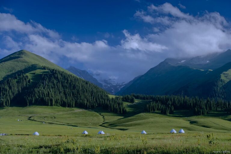
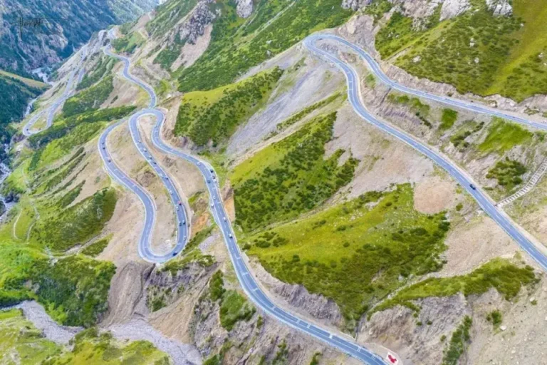
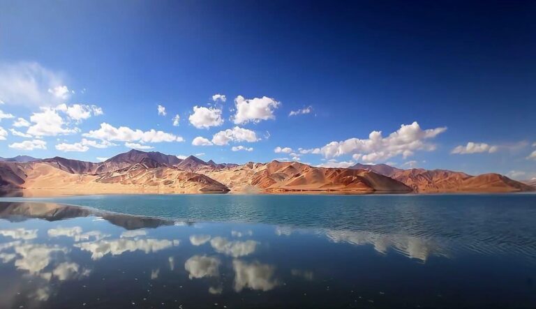
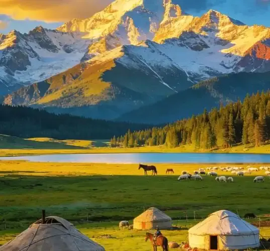
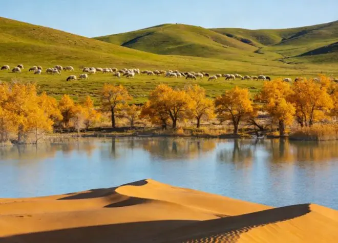
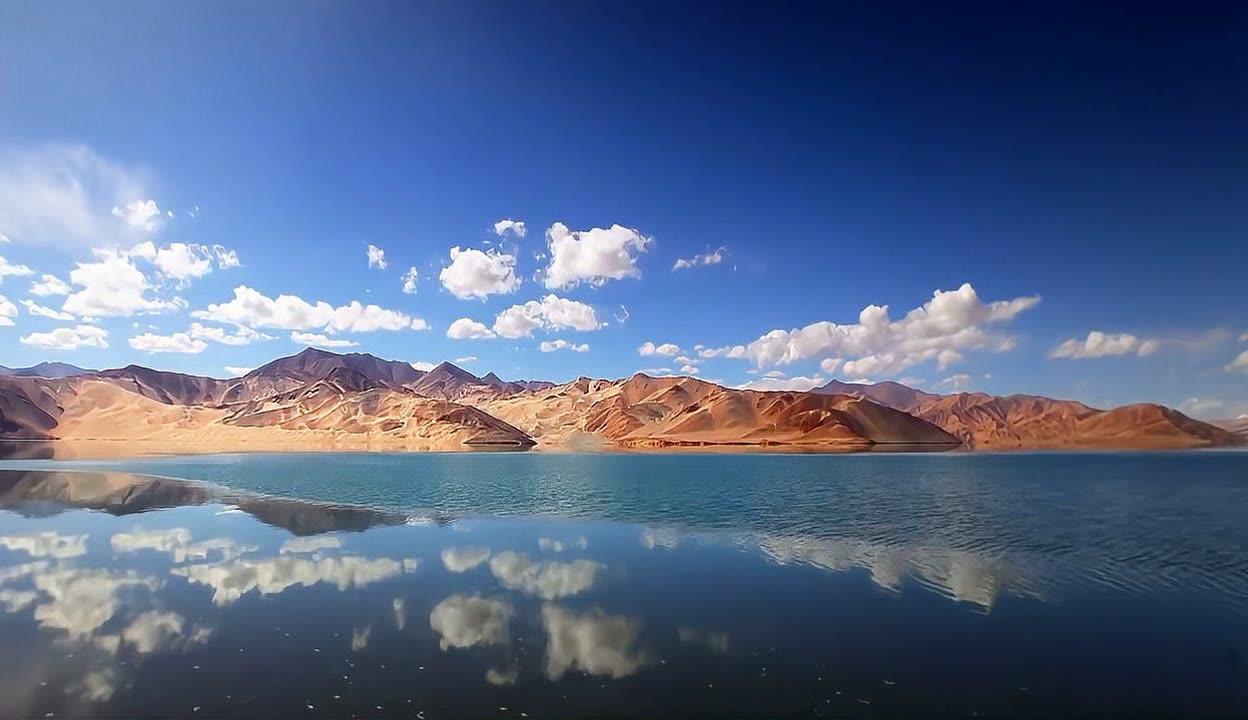
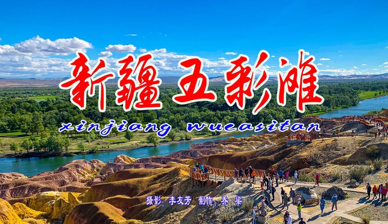
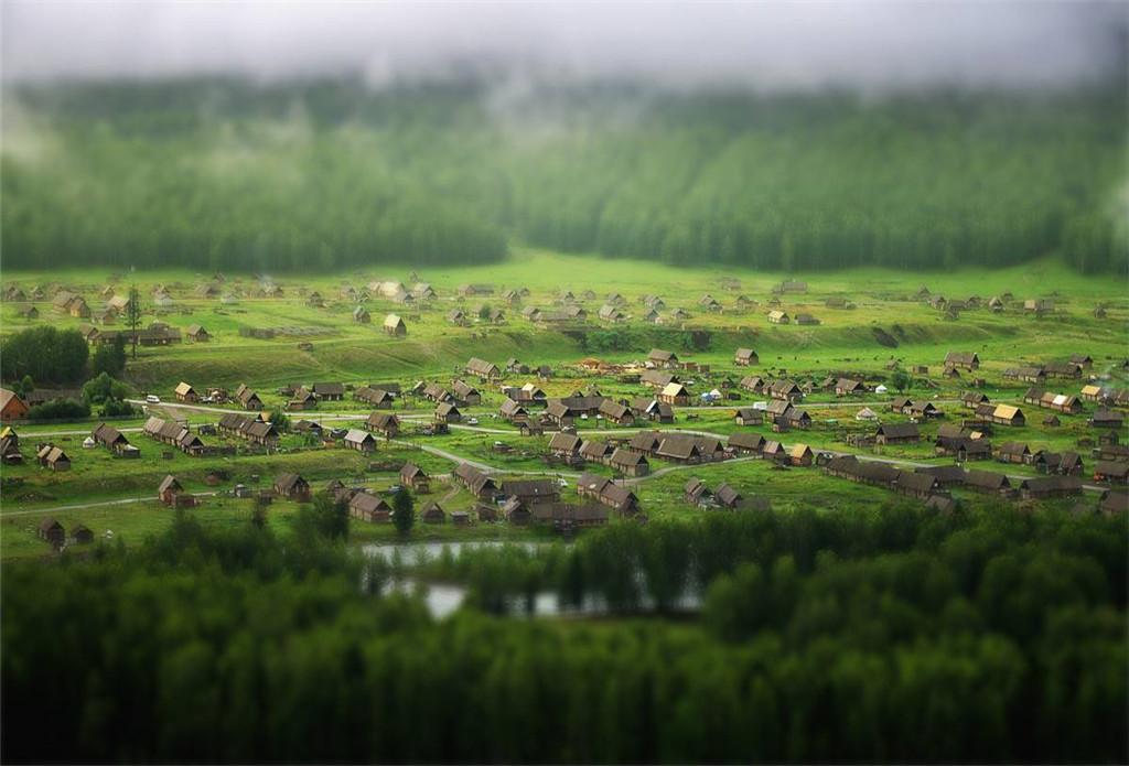
We are travel writers, not officials or archaeologists, and we are not affiliated with any site or museum here. Access rules around Miran, Loulan, and the Altun reserve change often, and published sources disagree about what a casual visitor can expect, so we have said so plainly rather than promise a smooth trip. The photographs on this page are regional scenes chosen to show the desert and mountain setting, not pictures of the restricted sites themselves. Confirm the current rules with Ruoqiang authorities or a licensed operator before you travel, and carry more water than you think you need.
Who wrote this Ruoqiang County guide
Karl Huang writes about the far corners of Xinjiang from the road, with a focus on the southern Tarim, the Lop Nur fringe, and the oasis towns that few travelers reach. He has driven the Korla to Ruoqiang corridor more than once and prefers to report what he saw, including the barriers, rather than what a brochure promises.