Published: September 7, 2026 | Author: Karl Huang | Category: Xinjiang Cities
I have been travelling through the Ili River valley since 2016, usually twice a year, and the question I get most often is not about the grassland itself. It is “where exactly do I stay for Nalati?” The honest answer is Xinyuan county, Xinjiang, a long thin county at the eastern end of the valley that owns the grassland, the airport, and most of the logistics that keep the scenic area running. This page is about the county rather than the scenic area, because that is the piece most guidebooks skip, and it is the piece that decides whether a Nalati trip feels smooth or rushed.
What I got wrong about Xinyuan the first time
On my first trip in 2019 I booked two nights at a guesthouse listed as “Nalati” and assumed it sat somewhere past Yining, an easy morning drive. It took us closer to five hours from Yining airport, and we rolled into the county seat after dark, mildly furious, with no idea we had actually arrived in the right place. Xinyuan is that kind of name on a map: it hides in plain sight. The county was called Gongnaisi until the 1940s, after the river, and older drivers still use both names. We had also assumed the airport with “Nalati” on its sign would sit near the scenic area. It does not. It sits on the county seat’s eastern edge, which tells you a lot about how this county is organised.
Xinyuan County, Xinjiang: the numbers that matter
Figures I keep checking against official county sources, because they come up in nearly every planning conversation:
| Item | Detail |
|---|---|
| Total area | 7,581 sq km, about 191 km long east to west |
| County seat | Xinyuan town, 192 km east of Yining, around 500 km from Urumqi by the eastern route |
| Population | About 310,000, including roughly 150,000 Kazakhs, around a tenth of China’s Kazakh population |
| Nalati town | 80 km east of the county seat; the 5A scenic area sits inside it |
| Airport | NLT, closed 29 March to 31 December 2026 for expansion |
| Best months | April for blossom, June to early September for grassland, late September for larch |
| Signature sights | Kunes River, Nalati scenic area, wild fruit forests, Xiaobulake distillery town |
A scenic area is not a town
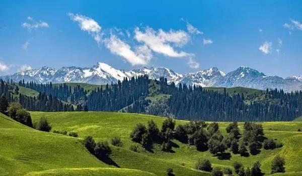
Nalati scenic area was set up in 1999 with a planning area of 1,848 square kilometres, took its 5A rating in 2011, and was named a national tourism resort in December 2020. The grassland sits inside Nalati town, a settlement of some 1,600 square kilometres where more than sixty percent of its 30,000-odd residents are Kazakh. The town lies 80 kilometres east of the county seat and about 250 kilometres from Yining. When people say “Nalati” they might mean any of three things: the scenic area, the town, or the wider grassland. Sorting out which one you are booking is the first thing we do now. Our Nalati Grassland guide covers the scenic area itself, so this page stays on the county.
The river that gave the county its old name
The Kunes River, written Gongnaisi on Chinese maps, is the spine of the county. It rises at Aiken Daban on the border with Hejing county, runs 258 kilometres almost due west, and meets the Tekes River near the Gongnaisi breeding farm before the combined flow becomes the Ili River. Mean annual runoff is about 1.64 billion cubic metres. Kazakh herders along the bank call it Anasu, the mother river, and the name Gongnaisi is usually glossed as “green valley” in Mongolian or “the place where the sun comes out” in Kazakh, which pairs neatly with Nalati’s own sunrise meaning. In 1946 the county took the name Xinyuan, “newly opened plain”. Watch the water as you drive: wherever the river braids wide, the best roadside pasture follows.
Flying in? Not in 2026
Xinyuan Nalati Airport opened on 15 July 2006 as the first tourism-focused regional airport in Xinjiang, a 4C field with a 2,300 metre runway at 936 metres elevation. It sits 12 kilometres from downtown and about 58 kilometres from the scenic area gate. Here is the catch for anyone booking now: the airport closed for reconstruction on 29 March 2026 and stays shut until 31 December 2026, while the runway is extended to 2,800 metres and a new 5,000 square metre terminal goes up, with a design target of 550,000 passengers a year by 2035. Until it reopens, the practical route is flying to Yining and driving, or routing through Urumqi and continuing by road. Check schedules close to your travel date, because routes come back one at a time.
Driving in on G218, G217 and the Duku southern gate
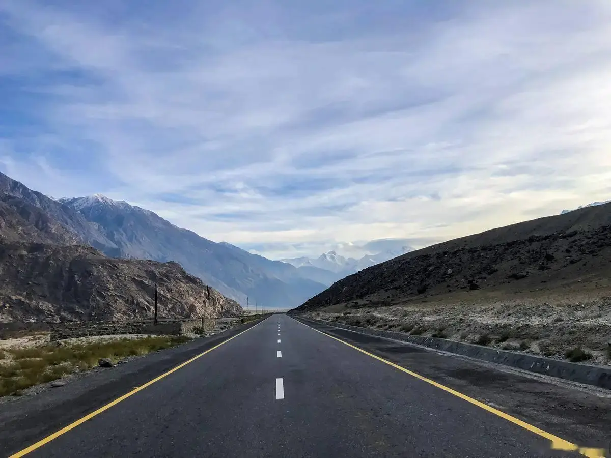
G218 is the valley’s spine, running the length of the county, and G217 crosses it at Nalati town. That crossing matters: the southern leg of the Duku Highway toward Kuqa ends here, and the road only reopened as a complete through route on 16 June 2021. Many of our readers drive the Duku Highway north from Kuqa and meet Xinyuan without ever planning to, which is exactly how we first arrived. Fuel is plentiful in the county seat and thinner east of Nalati town, so top up before the climb toward the pass.
Where to sleep: county seat or Nalati town
We have now done both, and the choice is simpler than booking sites make it look. Nalati town puts you minutes from the scenic area gate, which matters for the early shuttle queues in July and August, but room rates roughly double in peak season and supply is thin outside the big hotels. The county seat has more inventory, better restaurants, and prices that stay sane; the trade is an 80-kilometre drive each way, about 70 minutes on a good road. Our pattern now: base in the county seat for two nights, then move to Nalati town for one night before an early gate entry. If you arrive late, the county seat is also where the pharmacies, banks and repair shops are.
What ends up on the table
Xinyuan eats well, and cheaper than the scenic area. Naryn, the hand-pulled noodles tossed with horse meat or lamb, is the Kazakh classic here, and horse sausage shows up on winter tables across the county. The Kunes is a cold, fast river, and its fish end up grilled or in soup at roadside places near the bridge in Nalati town. In the county seat we eat most often at Hui-run noodle shops and Uyghur kitchens doing lamb with naan. Breakfast is milk tea and baked buns at Kazakh teahouses. Portions are generous; two dishes feed three people, a rule we kept breaking at our own cost.
The wine town at the western end
Xinyuan carries the nickname “pearl of the grassland, wine town of Xinjiang”, and that second half belongs to Xiaobulake in the county’s west, where the Yilite distillery has made Ili liquor since the 1950s. Ili liquor was the first Xinjiang product to win national geographical-indication protection. We stopped at a tasting room there in 2023 expecting a tourist set-up and found a working plant town instead, with a company shop selling bottles you will not see exported. Even if you skip the tasting, the barley fields and the smell of the mash around town make it an honest half-hour detour on the drive west.
Spring blossom and autumn larch
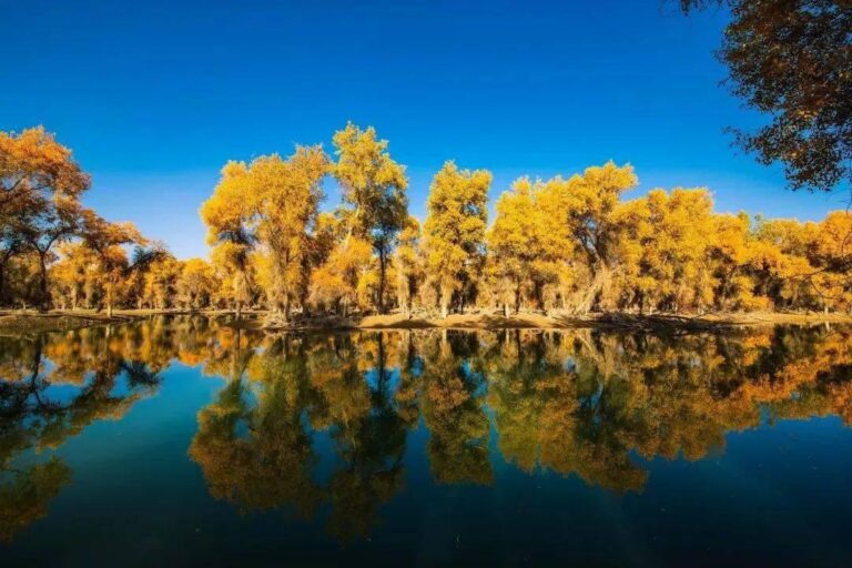
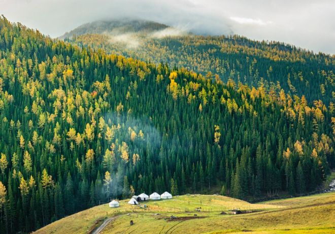
The county’s seasons are more distinct than the grassland’s reputation suggests. In early and mid April the slopes at Tuergen, in the county’s north, turn pink-white with wild apricot blossom, the scene behind most of the photographs you have seen; our Tuergen Apricot Valley page tracks the bloom window. Wild apple follows in May. Summer belongs to the grassland, then larch and birch go gold through late September and October, and the yurt camps come down soon after. Winter is long and quiet; the scenic area keeps a reduced winter operation, and the county town empties out with it.
Beyond the scenic fence
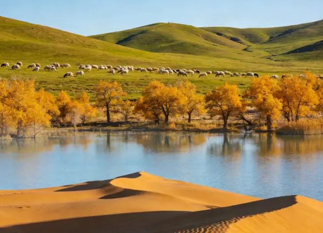
Xinyuan keeps roughly 100,000 mu of wild fruit forest, relic orchards left from the middle ages, including the wild apples that botanists treat as the source stock of every cultivated apple in the world. Signs around the valley call the county a gene bank of wild fruit, and the claim holds up; the forests sit in side gullies of the Kunes valley, some within reach of the airport road. Reed wetlands line the lower river too, flat green miles where herders cut winter fodder. None of this is ticketed like the scenic area, which is precisely why we like it. You can spend a morning in a side valley with nothing but cowbells for company.
Small things I wish I had known
The valley floor sits between 800 and 1,400 metres, so altitude is a non-issue, but weather swings hard: we have driven out of 30-degree sunshine in the county seat into sideways sleet at the high pastures, in June. July and August push the scenic area past 50,000 visitors on peak days, so book beds early and enter at opening time. The clinic at Nalati town was upgraded to the Xinyuan Second People’s Hospital in 2025, with an emergency team covering a 50-kilometre radius, genuinely reassuring when you are that far from Yining. Carry some cash for herder-family stalls. And keep vehicle papers handy if you rent; police checks on G217 are routine.
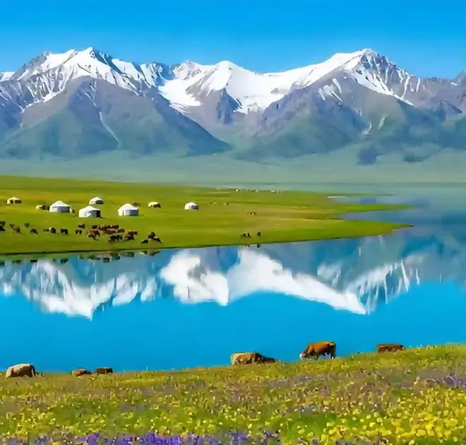
A four-day loop based in the county seat
Day 1: Yining to the county seat along G218, stopping at the reed wetlands, then the county town’s food streets in the evening. Day 2: east to Nalati town, a full day across the scenic area’s sky-grassland and river-valley zones, sleeping in Nalati town. Day 3: the quiet side valleys and wild fruit forests on the valley’s north side, with an optional crossing into Nileke county for spruce country if you have the fuel and the daylight. Day 4: run the Duku Highway south toward the wetlands below Bayanbulak and return, or push on to Kuqa if the pass is open and your rental allows it.
Questions I get asked about Xinyuan County
Is Nalati Grassland in Xinyuan? Yes. Both the scenic area and the town sit inside the county, 80 kilometres east of the county seat.
Can I manage without a car? Barely. Buses run from Yining to the county seat and on to Nalati town in season, but the side valleys and wild fruit forests need a hired car or a local driver.
When should I come? April for blossom, June to early September for the grassland, late September for autumn colour. The airport reopens after 31 December 2026, which will change winter logistics.
How this page stays accurate
Administrative figures come from Xinyuan county government publications, the airport closure dates from the operator’s 2026 notices, and the scenic area history from prefecture records. Everything else comes from our own trips, most recently in August 2026. Prices and schedules in Xinjiang move often; treat the numbers as a snapshot and confirm anything that would wreck your plan. This page accepts no sponsorship from any hotel, restaurant or operator named.
About the author
Karl Huang has travelled in Xinjiang every year since 2016, with repeated trips through the Ili River valley, and writes this site’s Xinjiang Cities series. He plans routes around rivers and old place names, which is why this county appealed to him long before the grassland did.