Published: October 26, 2026 | Author: Karl Huang
Most Xinjiang itineraries stop at the big lakes and the desert highways, but Jimunai County pulled me north for a different reason. It is a thin sliver of Altay Prefecture that touches Kazakhstan. I went looking for a glacier, found it fenced off for its own protection, and ended up more interested in the village that sits a hundred meters from a foreign country.
| Item | Detail |
|---|---|
| Location | Altay Prefecture, northern Xinjiang, on the Kazakhstan frontier |
| Border length | About 141 km shared with Kazakhstan |
| Nearest high peak | Mussard (Muz Taw), 3,835 m, the highest point of the Saur range |
| Port | Jeminay Port, a Class-I road port reopened to traffic in 1992 |
| Best windows | Late June to September for green pastures; late December for the winter festival |
| Travel base | Altay City, roughly 198 km east of the county |
The numbers that frame Jimunai County
Jimunai County is small in population and easy to miss on a map, which is part of its appeal. It sits at the far northwest of Altay Prefecture and shares about 141 km of frontier with Kazakhstan. The county seat is low and exposed to wind, but the land rises hard to the south into the Saur (Sawur) range. Its highest point, Mussard, reaches 3,835 m, and that single mountain shapes almost everything a visitor can do here. When we arrived in early summer the town was quiet, the kind of quiet where the only sound at the edge of day was wind moving across the steppe.
Why the Saur range makes Jimunai County unlike its neighbors
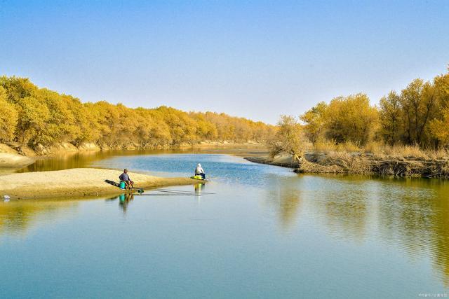
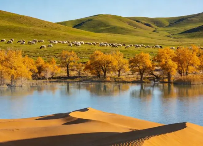
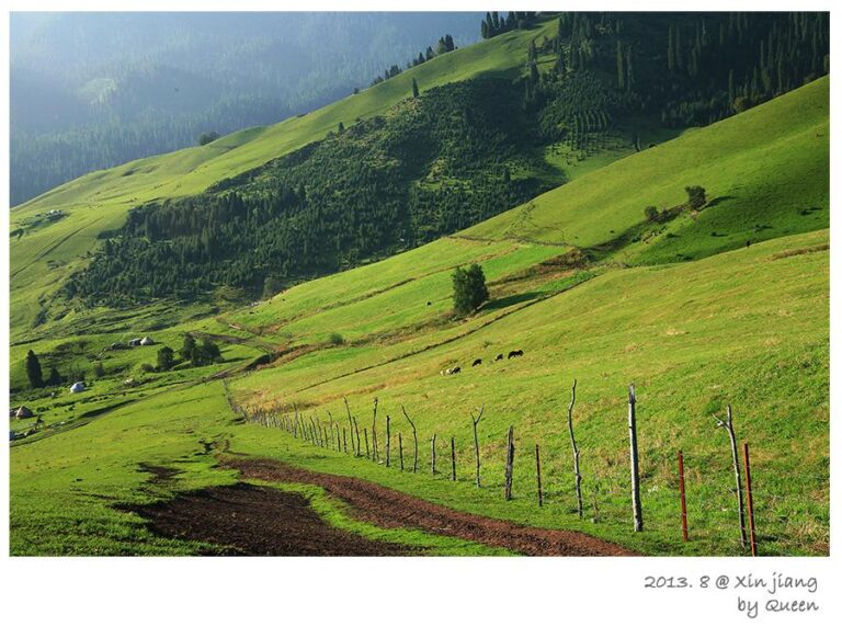
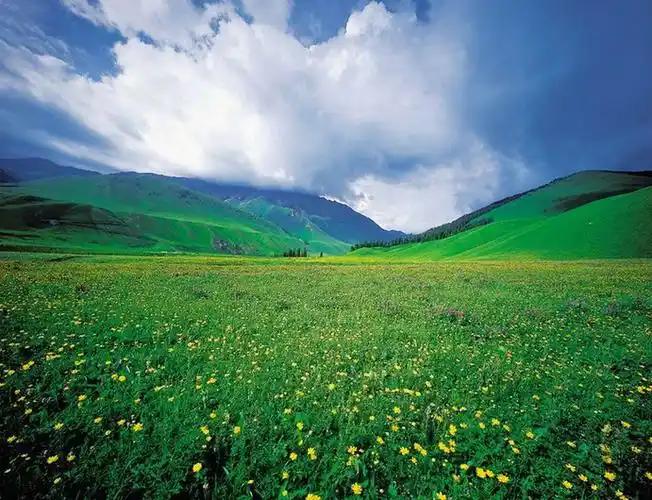
We drove in from Altay City, and the character of the land changed well before we reached the county. The Saur range is not the lake country you find around Kanas Lake. It is a dry, windswept spine that doubles as one of northern Xinjiang’s best winter pastures. Local herders call the southern slopes home for their animals when the cold sets in, and that single fact explains more about Jimunai than any border statistic. The meadows below the peaks stay green deep into August, and the light there has a flat, bright quality I have not seen elsewhere in the region.
The glacier we were not allowed to climb
The Mussard Glacier, known locally as Muz Taw or the Ice Mountain, sits about 45 km south of the county town on the western end of the Saur range. I had read about a June Ice Mountain Art Festival and packed for a walk on the ice. At the ranger gate we were told plainly: since 2007 the glacier has been closed to tourists for permanent protection. The reasons are sobering. The glacial cover in this part of the Saur shrank from roughly 19 square km in the 1960s to about 11 square km by 2013, and the meltwater feeds the county’s drinking supply, so the county halted tourism to let it recover.
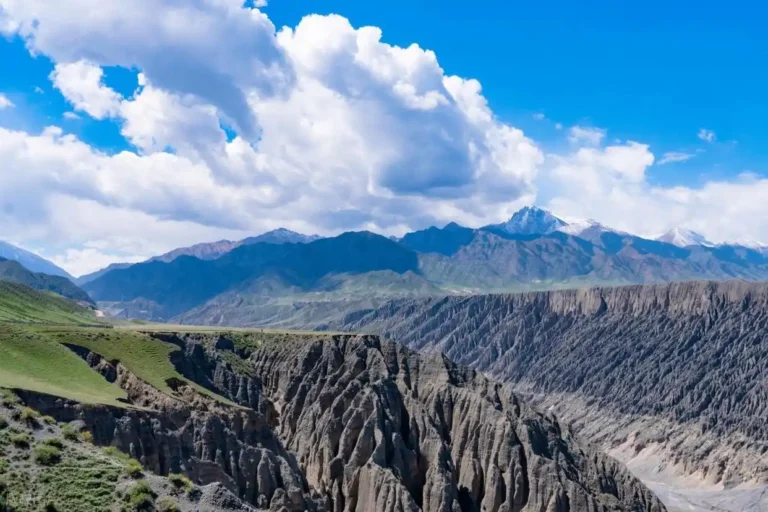
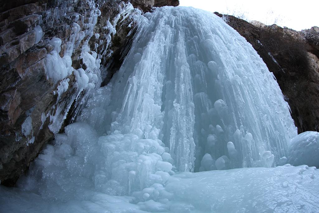
What you can still appreciate is the setting. Mussard tops out at 3,835 m, carrying a modern glacier and clear ice-age landforms across a roughly 12 by 5 km mass. A glacier-fed lake called Wolong, about 2.8 square km, sits on the slope. Winter snow keeps the ice replenished, so the mountain stays relatively healthy. You cannot walk the ice anymore, but looking up at the white cap from the foothill is its own reward.
Sarwulan: the village that sits inside a fence line
Drive west from the county seat to Sarwulan village, part of Jimunai Town, and you reach a place that makes the border real. The village sits less than 100 meters from the Kazakhstan line and is known as the “first village on the China-Kazakhstan border.” Its name means “golden meadow” in Kazakh, and it lies along the Ulekun Wulastu river, the same water that drains the Mussard Glacier before it becomes a frontier. We walked to a small watchtower with a view across into Kazakhstan on a clear day. The red-home-visit points tell of border guardians who have patrolled here for decades; one local guard has logged over 260,000 km on foot since 1989.
Sarwulan turned to red tourism in 2023, and the numbers are recent and verifiable. According to People’s Daily Overseas Edition reporting in April 2026, the village of 112 households received more than 30,000 visitors in 2025 and brought in about 1.03 million yuan in collective income. The county government site, jmn.gov.cn, carries the festival and village notices. It is a genuinely moving stop, less a sight than a conversation with people who live at the edge of the map.
When the camels walk up the Saur in November
Every November, Kazakh herders in the area drive their camels, cattle, sheep, and horses up to the Saur winter pasture, and they do not come back down until March. We caught the tail of a caravan near Tuost Township, a line of Bactrian camels carrying tents and pots. The Saur winter-pasture festival in late December turns this migration into something visitors can watch: camel treks, horse games, and big-pot mutton in the snow. It is cold, loud, and completely unlike the quiet summer meadows.

The old port that trades with four countries
The Jeminay Port is the county’s oldest claim to fame, a road crossing opposite Kazakhstan’s East Kazakhstan region at about 770 m elevation. Trade here is old; the crossing was active in the early 1900s, cut off in 1962, reopened to cargo in 1991, and became a formal bilateral port in 1992, gaining Class-I status in 1997. From the port it is about 24 km to the county town, 198 km to Altay City, and 650 km to Urumqi. Outbound, the Kazakh counterpart port of Maikhabchik is half a kilometer away, and Zaysan is 60 km on. Its trade volume now runs into the tens of billions of yuan a year. Independent travelers view it from the approach road; the gates are working infrastructure, not a tourist stop.
Rolling into Jimunai County from three sides
There is no train to Jimunai, and the nearest airport is in Habahe County or Altay City to the east. Most people arrive by road. From Altay City it is about 198 km and roughly three hours of good asphalt. From Urumqi it is about 650 km, best done as an overnight drive or a stop in Altay. The S315 provincial road now reaches the port, and signage on the approach is clear. We drove the county-town-to-port segment without a hitch, though fuel and cash are worth sorting before you leave the city.
Picking a month that is not too loud
Your timing decides the whole trip. Late June to September brings green Saur meadows and open passes; this is when the foothills below Mussard look best from a distance. The best time to visit Xinjiang for high country generally holds here too. Winter, from November to March, is deep snow and the winter-pasture festival in late December, with camel treks and horse games you cannot see any other month. Avoid April and May; the Saur wind raises dust and the passes turn raw. We went in early summer and would return in December for the caravan season.
Beds between the stone forest and the border
The county town has the most reliable hotels, simple but clean, and that is where most visitors sleep. During the winter festival, lodging near the Grassland Stone City scenic area in Tuost Township fills fast, so book ahead. If you want more choice, base yourself in Altay City and make Jimunai a two-day out-and-back. We stayed in the county town both nights and found it quiet enough to hear the wind, which after a day on the steppe felt right.
What a border town puts on the table
The food is the easy highlight. Saur lamb, sometimes marketed as “glacier sheep,” is fat but not greasy, tender, and mild compared with lowland mutton. At the winter festival the big-pot mutton and beef feeds crowds, and there is horse meat, milk tea, dried fruit, and flat Kazakh breads. In Sarwulan we ate at a red-home-visit point where a grandmother set down horse meat and hot milk tea, then told us about years spent watching the border. That meal, more than any viewpoint, is what I remember from Jimunai.
Notes from the fence line
A few practical points from the trip. Carry your ID everywhere; photography near the border fence is restricted, and drones are banned close to the frontier, so leave them in the car. The glacier is closed, and arguing at the gate will not change it. Cash helps in the smaller villages where cards lag. The wind is a real force on the Saur, so pack layers even in summer. Fuel up before leaving Altay, and tell someone your route; the stretches between settlements are long.
A two-day loop through Jimunai County
Day one: leave Altay City after breakfast, reach the county town by early afternoon, then drive to the Grassland Stone City scenic area and on to Sarwulan village for the watchtower and a red-home-visit meal. Day two: take the Saur foothill road for glacier views from below, swing out to the Jeminay Port approach road for a look at the crossing, and return to Altay via the S315. Two full days covers the essentials without rushing.
Questions people ask before the drive
Can I climb the Mussard Glacier? No. It has been closed to tourists since 2007 for environmental protection. You can view it from the foothills.
Do I need a visa at the port? The Jeminay Port is a working trade crossing. Independent travelers view it from the approach road; there is no tourist entry or visa-on-the-spot for casual visits.
When should I go? Summer for green pastures and clear passes, or late December for the winter-pasture festival and camel treks.
Is it safe? The county is quiet and the border is closely monitored. The main hazards are weather and distance, not crime.
How long do I need? Two days from Altay City is enough for the core sights.
The honest edges of a frontier county
This account draws on the Jimunai county government site (jmn.gov.cn), People’s Daily Overseas Edition reporting from April 2026, and public encyclopedic records for the glacier and port figures. Border rules, festival dates, and glacier-access policy change, so confirm the current situation with official sources before you travel. I have described what I saw and verified; I have not claimed access to places that are closed. Treat this as a traveler’s note, not official advice, and plan with the wind in mind.