Published: June 24, 2026 | Author: Xinjiang Attractions Editorial Team
Why you can trust us: This guide is based on first-hand driving experience along the Karakoram Highway (KKH) from Kashgar to the Khunjerab Pass, verified border regulations from Chinese and Pakistani consulates, and official transport information. We have physically driven the entire Chinese section and researched the Pakistani section through verified traveler accounts and official sources.
Quick Reference: Karakoram Highway at a Glance
| Aspect | Details |
|---|---|
| Total Distance | ~1,300 km (Kashgar to Islamabad) |
| Chinese Section | Kashgar → Khunjerab Pass → Sust (~450 km, paved) |
| Pakistani Section | Sust → Gilgit → Islamabad (~850 km, paved but narrow) |
| Highest Point | Khunjerab Pass (4,693m / 15,397 ft) |
| Crossing Status | Open seasonally (May–Oct, weather permitting) |
| Visa Required | Chinese visa + Pakistani visa (or e-visa) |
| Best Time | June–September (most stable weather) |
Our Experience: Driving the Roof of the World
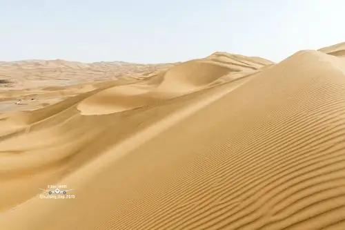
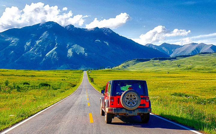
When we drove the Karakoram Highway from Kashgar toward the Khunjerab Pass, the transformation was breathtaking. Leaving Kashgar’s desert landscape, the road begins a relentless climb into the Pamir Plateau. Within 3 hours, we were above 3,000m, with the icy peak of Muztagh Ata dominating the horizon.
The Chinese section is in excellent condition — fully paved, well-signposted, and regularly patrolled. The Pakistani section, which we researched through fellow travelers who completed the full journey, is more challenging: narrower, with occasional landslides during monsoon season (July–August). However, the scenery on both sides is, without exaggeration, among the most spectacular road trips on Earth.
One critical lesson: the border crossing is NOT a simple “drive through.” You must exit China at Khunjerab, process Pakistani entry at Sust, and change transport. Private vehicles rarely cross the border — most travelers take a bus or change vehicles at the border.
The Karakoram Highway: A Brief History
The KKH is one of the highest paved international roads in the world. Built jointly by China and Pakistan between 1959 and 1979, it connects Xinjiang with Pakistan’s Gilgit-Baltistan region and beyond to Islamabad. The highway follows ancient Silk Road trade routes and crosses some of the world’s most hostile terrain.
Today, the KKH is part of the China-Pakistan Economic Corridor (CPEC) and remains a vital strategic and economic link between the two countries.
Chinese Section: Kashgar to Khunjerab Pass (300 km)
This is the most accessible part of the KKH for tourists and can be done as a day trip from Kashgar (though we recommend overnighting in Tashkurgan).
Key Stops on the Chinese Side
- Upal Town (乌帕尔): 60 km from Kashgar. Last major town before the mountains. Good place for a toilet break and buying snacks.
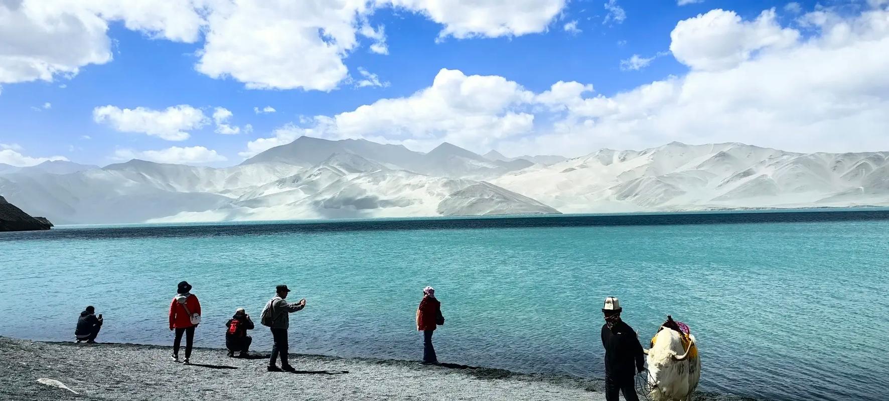
- Gangchet (喀拉库勒湖): At 3,600m. Stunning alpine lake with Muztagh Ata reflected in the water on clear days. Yaks graze nearby — great photo stop.
- Subashi Grassland (苏巴什草原): Vast high-altitude wetland. This is also the trailhead for Muztagh Ata Base Camp treks.
- Tashkurgan Town (塔什库尔干): 300 km from Kashgar. The main hub on the Chinese side. Read our Tashkurgan guide here for detailed information on accommodation and permits.
- Khunjerab Pass (红其拉甫口岸): The border. A monument marks the China-Pakistan boundary at 4,693m. On a clear day, the views are sublime.
Crossing the Border: Step by Step
Important: The Khunjerab Pass border crossing is seasonal and subject to weather closures. It typically opens in May and closes in October/November. Always verify current status before traveling.
Step 1: Chinese Exit at Khunjerab
After clearing Chinese immigration and customs at Khunjerab, you cannot simply drive into Pakistan. The border procedure involves:
- Chinese exit stamp at the Khunjerab border post
- Baggage inspection (Chinese customs)
- Short drive or shuttle to the actual boundary monument
- Walk across no-man’s land (about 1–2 km, or take the shuttle bus)
Step 2: Pakistani Entry at Sust
On the Pakistani side, the first town is Sust (also spelled Hasan Abdal). Here you process Pakistani immigration:
- Visa check (ensure your Pakistani visa is valid for land entry)
- Baggage inspection (Pakistani customs)
- Health screening (may include vaccination certificate checks)
Note: Sust has basic facilities. If you need Pakistani rupees, there’s a money changer, but rates are poor. Exchange some money in Kashgar or bring USD.
Pakistani Section: Sust to Islamabad (~850 km)
The Pakistani section is more adventurous. Here’s what to expect:
Sust to Gilgit (200 km, 6–8 hours)
The road from Sust to Gilgit is paved but narrow, with steep drops and occasional rockfall. Gilgit is the main city in Gilgit-Baltistan and has basic hotels, restaurants, and an airport with flights to Islamabad.
Gilgit to Islamabad (650 km, 12–16 hours)
This is a long, winding drive. The road descends from the mountains into the Indus Valley and eventually reaches Islamabad. Key stops include:
- Rakaposhi Viewpoint: Stunning view of Rakaposhi (7,788m), one of the most beautiful peaks in the Karakorams.
- Naran/Kaghan Valley: If you take the Babusar Pass route (seasonal), this is a spectacular detour through alpine valleys.
- Mansehra: Last major town before Islamabad.
Transport Options (If Not Driving Your Own Vehicle)
Cross-Border Bus
Several companies operate Kashgar–Islamabad buses (or segmented: Kashgar–Sust, then Sust–Islamabad). The journey takes 2–3 days with overnights. This is the most affordable option but requires patience and flexibility.
Private Car/Taxi (Chinese Side)
Hire a private car in Kashgar to Tashkurgan or all the way to the border. Cost: 1,200–2,000 RMB depending on vehicle and distance. Our transportation guide covers more options for getting around Xinjiang.
Flights (Alternative to Driving)
If the KKH drive isn’t feasible, consider flying: Kashgar has flights to major Chinese cities. For Pakistan, fly from Urumqi or Beijing to Islamabad (with connections). This is faster but you’ll miss the epic road journey.
Permits and Paperwork Checklist
- Chinese Visa: Ensure it allows multiple entries if you plan to return to China
- Pakistani Visa: Apply at the Pakistani consulate in Urumqi or your home country. E-visa is available for many nationalities
- Chinese Border Permit (边境通行证): Required for Tashkurgan. Obtain in Kashgar
- Vehicle Permit: If driving your own car, extensive paperwork is required for both China and Pakistan. Most travelers use local transport
- Vaccinations: Check if hepatitis, typhoid, or malaria prophylaxis are recommended for Pakistan
Safety and Practical Tips
- Altitude: Large sections of the KKH exceed 4,000m. Acclimatize in Tashkurgan before attempting the border crossing
- Road Conditions: Landslides are common on the Pakistani side during monsoon (July–August). Check road status before departing
- Connectivity: Mobile signal is spotty. Don’t rely on Google Maps — download offline maps and carry a GPS device
- Cash: ATMs are rare on the KKH. Carry sufficient Chinese yuan (before crossing) and Pakistani rupees or USD (after crossing)
- Language: Urdu and English are widely spoken on the Pakistani side. Having a few Urdu phrases helps. On the Chinese side, Mandarin and Uyghur are dominant
Best Time to Travel the KKH
June to September (Recommended): Most stable weather. The Khunjerab Pass is almost certainly open. Daytime temperatures are pleasant, though nights remain cold at high elevations.
October to April (Not Recommended): Heavy snow frequently closes the Khunjerab Pass. Even if open, temperatures are extreme and road conditions dangerous.
Frequently Asked Questions
Q: Can I cross the border with my own car?
A: Theoretically yes, but it requires extensive paperwork including carnet de passage, insurance, and permits from both countries. Most travelers use public transport or change vehicles at the border.
Q: Is the KKH safe?
A: The Chinese section is very safe. The Pakistani section has some security considerations — check your government’s travel advisory before departing. The road itself is hazardous due to landslides and narrow sections, not due to security issues (which have improved significantly in recent years).
Q: Do I need a guide?
A: On the Chinese side, a guide is not mandatory for the Kashgar–Tashkurgan drive, but hiring one enriches the experience. On the Pakistani side, hiring a local guide/driver is strongly recommended due to road conditions and language barriers.
Q: Where can I stay along the KKH?
A: On the Chinese side, Tashkurgan has hotels (basic but adequate). On the Pakistani side, Gilgit and Nagar have guesthouses and small hotels. Islamabad has accommodations for all budgets.
Disclaimer
This guide is for informational purposes only. Border crossing policies, visa requirements, road conditions, and security situations can change without notice. The Khunjerab Pass may close due to weather, political situations, or border maintenance. Always verify current conditions with official sources including the Chinese and Pakistani immigration authorities. We are not responsible for any issues arising from reliance on this information. Land border crossings involve additional risks — purchase appropriate travel insurance and verify your coverage includes border region travel.
About the Author
Xinjiang Attractions Editorial Team
Our team includes cross-border travel specialists, documented KKH drivers, and Central Asia travel experts. We combine first-hand high-altitude driving experience with verified official information to bring you the most reliable transport and border-crossing guides for the Xinjiang region.
Planning your own KKH adventure? Contact us — we can help with permit advice and transport recommendations.