Published: October 29, 2026 | Author: Liam Foster
Why you can trust this Xinjiang highways guide
I learned the hard way that a “G” in front of a number on a Xinjiang road sign does not tell you what kind of road you are on. On my first long loop through the region in 2022, I planned a route around G217 because it looked direct on the map, then spent a confused afternoon at a fuel stop near Karamay asking a truck driver why the smooth toll road I had been enjoying suddenly turned into a two-lane mountain track. He laughed and said the number tells you the corridor, not the surface. That conversation shaped this guide. Everything below comes from three self-driven trips between 2022 and 2025, plus the official route data published by China’s Ministry of Transport. I have driven G30 end to end through the region, taken the Duku section of G217 over the Tianshan, and used G218 as a quiet alternative to the busy eastern corridor.
| Route | What it is | Runs | Why it matters |
|---|---|---|---|
| G30 (Lianyungang–Khorgas Expwy) | Toll expressway, 4+ lanes | Enters Xinjiang at Xingxingxia, through Hami, Turpan, Urumqi, Shihezi to Khorgas | The main east–west spine; China’s longest expressway at roughly 4,400 km |
| G7 (Beijing–Urumqi Expwy) | Toll expressway | Beijing via Inner Mongolia and Hami to Urumqi | Second corridor in; fully open since 2021 |
| G217 (national highway) | Ordinary 2-lane highway | Altay south through Karamay, Dushanzi, over the Tianshan to Kuqa and on to Hotan, 1,753 km | Includes the Duku Highway; scenic but seasonal |
| G218 (national highway) | Ordinary 2-lane highway | Khorgas east along the Ili valley and the northern Tianshan foot to Ruoqiang, over 1,000 km | Quiet northern alternative to the G30/G315 desert run |
| G315 (national highway) | Ordinary 2-lane highway | Xining through Ruoqiang, Hotan to Kashgar | The southern route across the Tarim Basin |
| G3012 (Turpan–Hotan Expwy) | Toll expressway | Turpan, Korla, Aksu, Kashgar to Hotan | Southern expressway parallel to G314/G315 |
| G0711 (Urumqi–Ruoqiang Expwy) | Expressway under construction | Urumqi south through the Tianshan to Ruoqiang | Will cut the Urumqi–south Xinjiang drive from hours to roughly three |
Our drive: what the numbers actually mean on the ground
The single most useful thing to know before you rent a car in Xinjiang is that the numbering system has two tiers. The expressways carry one, two, or four digits and a “G” prefix, and they are the fast, fenced, toll roads you want for long hauls. The ordinary national highways carry three digits and a “G” prefix, and they are the older, slower, free roads that thread through towns and over passes. G30 is an expressway; G217 and G218 are ordinary highways. A navigation app shows both in the same colour sometimes, which is how I ended up on that mountain track near Karamay.
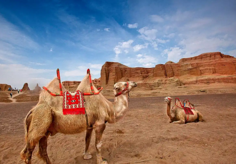
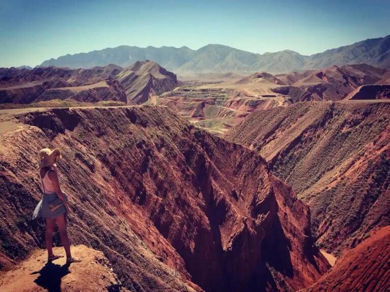
On our 2023 trip we took G30 from Hami toward Urumqi and covered the distance in a relaxed half day, with clean service areas every forty or fifty kilometres. Two days later we turned onto G217 at Dushanzi and climbed into the Tianshan on what locals call the Duku Highway. The surface was good but the character was completely different: switchbacks, snow fences in June, and a wall of mountains that dropped us from grassland to red-rock canyon in a couple of hours. Same “G” prefix, two completely different days of driving.
How the main corridors fit together
G30 is the workhorse. It enters Xinjiang at Xingxingxia on the Gansu border and runs west through Hami, Turpan, and Urumqi before continuing to Shihezi and on to Khorgas on the Kazakhstan border. At roughly 4,400 kilometres it is the longest expressway in China, a figure confirmed in a Xinjiang transport write-up, and the Xinjiang stretch is the part most foreign visitors actually use. If you are crossing into Central Asia, the Khorgas terminus is where the road meets the border, and our guide to crossing into Kazakhstan from Xinjiang explains the paperwork on the other side.
G7 is the newer option. It reaches Urumqi from Beijing via Inner Mongolia and Hami, and it has been fully open only since 2021. It is the one to choose if you want to approach Xinjiang from the north rather than the classic Gansu corridor, and it spares you the long Turpan detour.
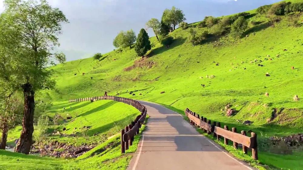
G217 and G218 are the scenic ordinary highways. G217 runs from Altay in the far north all the way south to Hotan, 1,753 kilometres in total according to the Wikipedia entry on G217, and the Dushanzi–Kuqa section over the Tianshan is the famous Duku Highway. G218 runs from Khorgas east along the Ili valley and then along the northern foot of the Tianshan to Ruoqiang in the south, a quiet run of more than 1,000 kilometres that most tour buses ignore. For the mountain road itself, our Duku Highway driving guide covers the pass closures and viewpoint stops in detail.
Best time to drive these routes
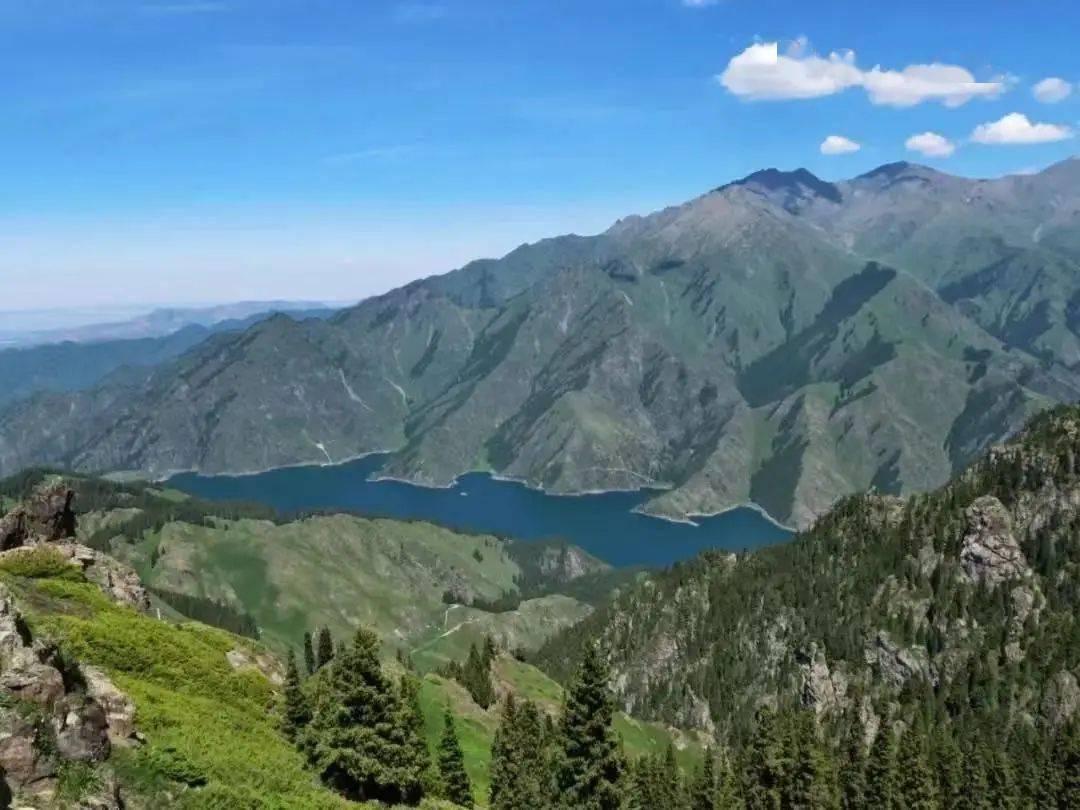
Timing decides whether some of these roads exist at all. The Duku section of G217 and the high passes of the Tianshan typically close from around November to May because of snow, and they do not always reopen on a fixed date. We hit a late snowfall in early June one year that kept the north gate shut for two extra days. The expressways, G30 and G7, stay open year round but get brutal crosswinds on the open stretches between Hami and Turpan, and the winter lows around Turpan can shut things briefly during the worst storms. Our season-by-season best time guide lays out the window we use for each region, and it is worth a read before you lock in dates.

Where to base yourself along the routes
You do not need to book remote lodges to enjoy these roads. The expressways put real cities within easy reach, and the ordinary highways pass through county towns with basic but clean hotels. On G30, Urumqi, Turpan, and Shihezi are obvious overnights. On a G217 loop, Kuytun and Karamay on the north side and Kuqa on the south side are the practical bookends for the Duku crossing. For G218, Yining makes a comfortable base at the western end, and Korla or Ruoqiang works if you are heading east. None of these require advance reservations except in the July to October peak, when the Duku corridor books out weeks ahead.
Eating on the road
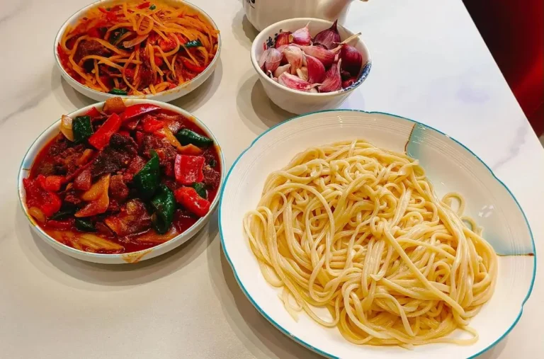
One of the quiet pleasures of driving Xinjiang is the food at the highway towns. Along G30 the service areas are decent but bland, so we make a point of exiting at Turpan for laghman and at smaller county towns for kebab and naan. On G217 the Dushanzi and Kuqa ends both have solid Uyghur restaurants where a plate of polo or a bowl of laghman costs next to nothing and fills you up. We once pulled into a roadside spot near Baijiantan on the strength of the smell alone and ate the best samsa of the trip. Fuel up on food where you can; the middle of the Taklamakan stretch of G217 is sparsely served.
Practical tips before you turn the key
- Know your tier. G30 and G7 are toll expressways with fuel and toilets; G217, G218, and G315 are slower ordinary roads with fewer services. Plan fuel stops on the ordinary highways every 200 to 250 km.
- Carry your passport. Checkpoints are routine on the approach to border areas and on the Duku crossing, and you will need ID for hotels anyway.
- Watch the limit. G30 is often 120 km/h but drops to 80 in construction zones, which are common, and speed cameras are active.
- Download offline maps. Signal fades on the mountain passes and in the desert, and the navigation app will not rescue you there.
- Consider a driver. If the idea of checkpoints and long empty stretches puts you off, hiring a private driver in Xinjiang keeps you in the passenger seat while someone else handles the road.
- Check the Duku status daily. The section closes on short notice for weather, and there is no warning sign until you reach the gate.
A sample five-day northern loop
Day 1: Fly into Urumqi, pick up a car, and ease onto G30 west toward Shihezi for the night. Day 2: Continue on G30 to Kuytun, then drop south onto G217 to Dushanzi and sleep there as a launch point. Day 3: Take the Duku Highway over the Tianshan to Kuqa, allowing a full day for stops at the canyon and the grassland. Day 4: From Kuqa, rest or explore the southern sites; we usually take a slow day in town. Day 5: Return north via G217 and G30 to Urumqi, or hand the car back and head home by air or rail.
Frequently asked questions
Are G30 and G217 the same kind of road? No. G30 is a toll expressway with multiple lanes and service areas; G217 is an ordinary two-lane national highway. Both carry a “G” prefix, which is the part that trips people up.
Can I drive the Duku Highway (G217) in winter? Usually not. The Dushanzi–Kuqa section closes roughly from November to May because of snow and reopens only when the passes are clear, sometimes as late as June.
Do I need a special permit to drive these roads? No permit is needed to drive the public highways. You do need your passport for routine checkpoints and for hotel registration, and some restricted border zones nearby require separate permission.
Which is the fastest way into Xinjiang by road? G30 from the Gansu side is the classic route, and G7 from the north via Hami is the newer alternative. Both are expressways and both reach Urumqi.
Is G218 worth it over G30? For scenery and quiet, yes. G218 follows the Ili valley and the northern Tianshan foot and sees far less traffic, but it is slower and has fewer services, so budget more time.
Disclaimer
This guide reflects the writer’s personal driving trips in 2022, 2023, and 2025 and the route data published by China’s Ministry of Transport. Road classifications, expressway tolls, speed limits, Duku opening dates, and checkpoint procedures change, and the Duku section of G217 may close without notice for weather. Confirm current conditions with the local transport or tourism authority before you travel, especially in the shoulder seasons. The author and publisher are not responsible for any delay, fine, or disruption arising from reliance on this information.
About the author
Liam Foster is a travel writer who has driven more than 8,000 kilometres of Xinjiang’s roads across three self-planned trips. He prefers ordinary highways over expressways when time allows, and he writes practical, first-hand guidance for XinjiangAttractions.com. Corrections and route updates are welcome through the site’s contact page.