Published: August 6, 2026 | Author: Tom Bramley, commercial UAV operator (UK CAA A2 CofC) who carried a drone through Xinjiang in 2024 and again in spring 2026
I get asked this in one of two ways. Either someone wants a yes so they can pack the Mavic without thinking about it, or they have read a forum thread from 2019 and assume the whole region is closed. Neither is right. The honest version of the Xinjiang drone rules is that flying is legal in principle, restricted in a lot of specific places, and decided in practice by whichever official is standing nearest to you. On my 2024 trip I flew on four days out of sixteen. In 2026, with the paperwork done properly beforehand, I flew on nine. The difference was preparation, not luck.
What follows is what I actually did, what got refused, and how the refusals were handled. It is not legal advice, and the section at the bottom on verifying current rules matters more than anything else here. Regulations in this area have changed twice since I first visited.
The short answer, before the detail
| Question | Practical answer |
|---|---|
| Is a drone allowed into Xinjiang? | Yes, standard civil models pass airport and station screening |
| Registration needed? | Yes, real-name registration with the national UOM system, before you travel |
| Foreign passport accepted? | Generally yes, though the process assumes a Chinese ID and often needs help |
| Border counties | Assume no. Kashgar’s mountain districts, Tashkurgan, the Ili and Altay frontier belt |
| Ticketed scenic areas | Usually banned by the operator regardless of national rules |
| Cities | Central Urumqi and Kashgar sit under controlled airspace, expect refusal |
| Best odds of a legal flight | Open grassland and lakeshore away from borders, with local sign-off |
| Worst case if you ignore this | Confiscation, footage deletion, a long afternoon in an office |
Three sets of Xinjiang drone rules that stack on top of each other
The confusion in most online answers comes from treating this as one rulebook. It is three, and clearing one does not clear the others.
The first is national. China’s civil aviation authority requires real-name registration for aircraft above 250 grams, sets height and line-of-sight limits, and publishes controlled airspace around airports and certain infrastructure. This layer is the same in Urumqi as in Chengdu.
The second is regional and security-led. Xinjiang shares land borders with eight countries, and the frontier belt is administered accordingly. Local public security offices can and do impose temporary restrictions that appear on no map you can download. This is the layer that surprises visitors, because compliance with the national system feels like it should be enough.
The third is the site operator. Every ticketed scenic area writes its own conditions of entry, and drones are commonly excluded outright. A national registration certificate carries no weight at the gate of a park that has decided drones disturb the horses.
Registering before you leave home
Registration happens on the UOM platform run by the aviation authority. You create an account, enter the aircraft serial number, and receive a QR code that is supposed to be affixed to the airframe. I printed mine on adhesive label paper and stuck it beside the battery bay, which took thirty seconds and later saved me an argument at Urumqi airport.
Two honest warnings. The interface is built around a Chinese national ID number, and passport entry, while accepted, is where foreign users most often get stuck. Budget an evening, not ten minutes. Second, some operators of newer aircraft find the serial is already tied to a previous account if the drone was bought secondhand. Sort that out at home, because you cannot fix it from a hotel in Korla.
If you are still assembling paperwork for the trip generally, our notes on visas and permits for foreign tourists cover the documents that matter at checkpoints. Drone registration is separate from all of those and does not substitute for any of them.
Where I did not even ask
There is a category of location where raising the question does you no favours. The Karakoram Highway south of Kashgar runs within sight of the Pakistan and Tajikistan frontiers for hours at a stretch, and the checkpoints along it are frequent. Tashkurgan county sits in the same bracket. So does the strip of Altay prefecture nearest the Mongolian and Kazakh lines, and the approaches to any of the land ports described in our overview of Xinjiang border crossings.
My rule after 2024 is simple and has never let me down: if I have passed a manned checkpoint in the last hour, the drone stays in the bag. Not because a specific sign forbids it, but because the conversation that follows an airborne aircraft in that context is not one I want to have in my third language.
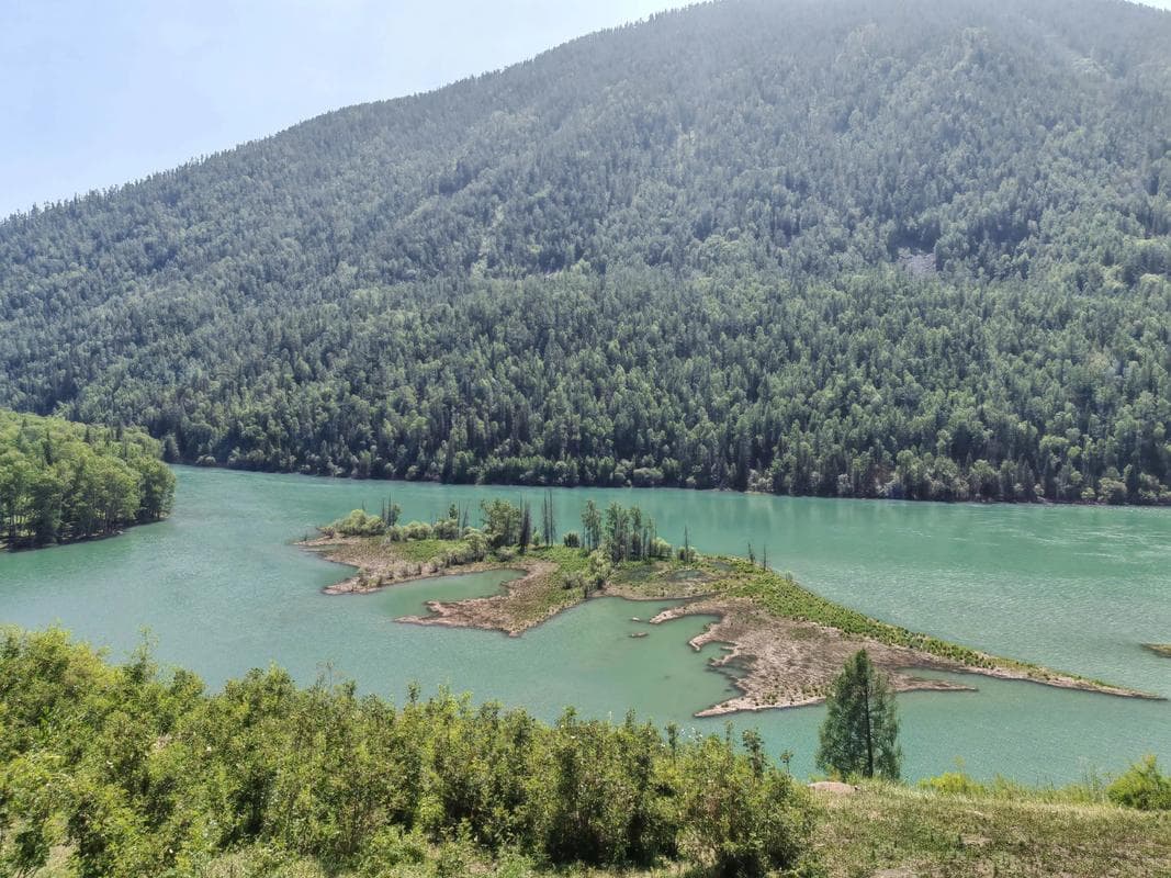
Kanas is worth singling out because so many people plan aerials there. It is a national park and a frontier zone at once. Both facts point the same way, and I have watched two separate visitors be walked back to the shuttle stop by staff. The lake photographs beautifully from the pavilion path anyway.
Where I actually got airborne
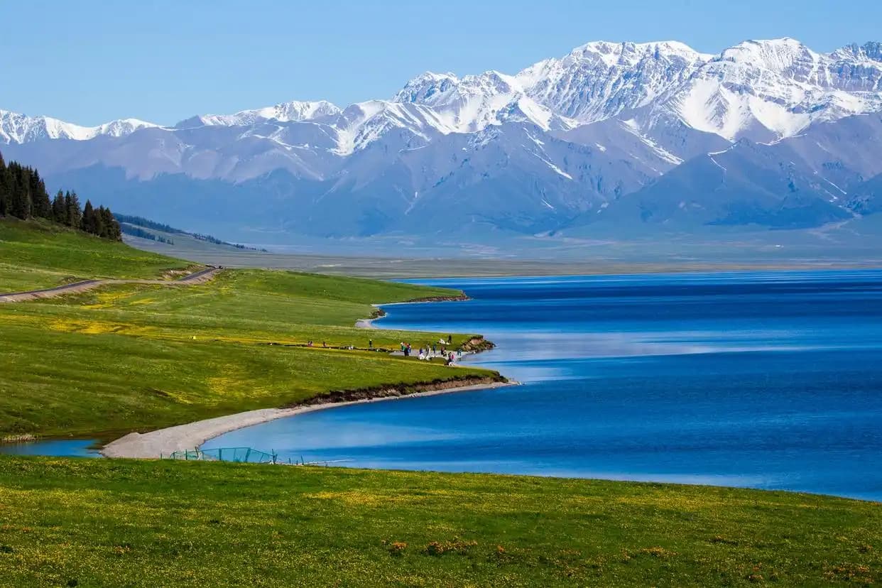
Sayram Lake was the easiest. The scenic area has permitted zones, and on both trips a polite question at the management office produced a yes within about fifteen minutes. I flew from the northern shore in the hour after sunrise, kept below the ridgeline, and landed when a tour group arrived.
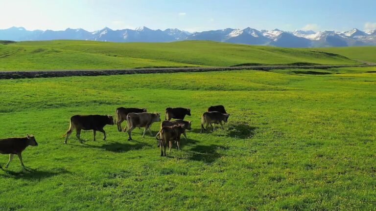
Nalati and the Ili valley grasslands were a maybe that turned into a yes both times, subject to staying away from the yurt clusters and livestock. Herders have every reason to dislike a machine that spooks horses, and one refusal there was entirely reasonable.
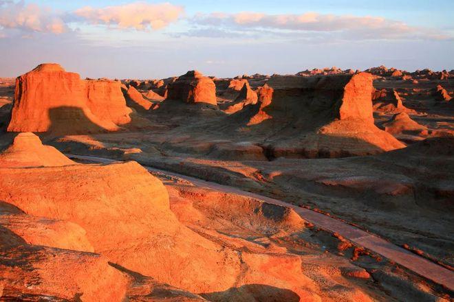
Pull-offs along the Duku Road, well north of the sensitive southern end, were the least bureaucratic. There is no gate and no office, which cuts both ways: nobody grants permission, and nobody is around to answer questions if something goes wrong. Turpan’s open desert and the ground around Wucaitan also worked, keeping clear of the oilfield infrastructure that is more common in the basin than the map suggests.
Asking permission without making it worse
The single most useful thing I learned is that the question is easier to answer when it is narrow. “Can I fly a drone here?” invites a defensive no. “May I fly for fifteen minutes from this spot, below the treeline, while the area is empty, and show you the footage after?” gives the person a bounded decision they can actually approve.
Carry a printed page in Chinese stating your name, passport number, aircraft model, registration number and intended flight area. I had mine written by a translator before leaving and handed over copies four times. It converts an ambiguous foreigner with equipment into a documented case, which is what an official needs.
And accept a refusal cleanly the first time. Arguing has never once worked for me, and the person refusing usually has less discretion than you assume.
Getting the kit there in one piece
Lithium batteries follow standard Chinese aviation policy: carry-on only, never in checked baggage, terminals taped or in individual sleeves. Airlines apply watt-hour limits, and most consumer drone packs sit comfortably under the threshold, but the count of spares allowed is where staff differ. I travel with four and have been asked to justify that once.
Trains are the trap people miss. Station security in Xinjiang is thorough, and while I have never had a drone refused on a train, every single bag went through X-ray and hand search, adding real time to departures. Build that into your day rather than arriving twenty minutes before the train. The seasonal kit list in our Xinjiang packing guide is worth a read for the cold-weather side, because battery performance in the Altay in October is meaningfully worse than the spec sheet implies.
Keep the original box or a labelled case. Screening staff process a recognisable product faster than a bundle of foam and propellers.
What happens if you get it wrong
I have not been fined, so I am reporting what I observed rather than lived. The realistic outcomes are having the aircraft held, being asked to delete footage in front of an officer, and losing a large part of a day. Penalties for flying in controlled airspace exist in national regulation and are not trivial. In a border region the added dimension is that an unexplained aircraft near a frontier is a security matter, not a paperwork matter, and it will be treated at that level of seriousness.
None of that is a reason to leave the drone at home. It is a reason to fly only where you have a clear answer, and to treat an ambiguous situation as a no.
If the answer is no, shoot it from the ground
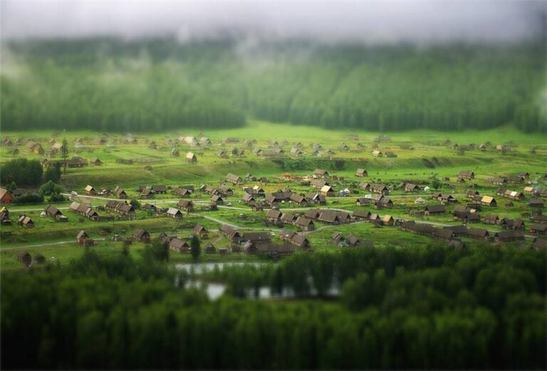
Half the aerial-looking images from this region are not aerial at all. The terrain does the work: ridge roads above Sayram, the pass viewpoints on the Duku Road, the pavilion climbs at Kanas and the elevated boardwalks at Wucaitan all put you a few hundred metres above the subject with no airspace question attached. A long lens from a high road often beats a nervous flight.
For where those elevated positions actually are, and the gear that suits them, see our Xinjiang photography guide. If you want the timing side, the day-by-day light schedule lays out sunrise calls and drive times so you are standing in the right place when the light arrives.
Questions I get asked most
Is a sub-250g drone exempt from everything? It is exempt from parts of the national registration requirement, not from local restrictions or park rules. Weight has no bearing on whether a border county wants aircraft overhead.
Can I register once I arrive? Technically yes, practically difficult. Doing it from a hotel, on a phone, with an unfamiliar interface, is not where you want to discover a problem with your serial number.
Do tour operators handle permission for me? Some will make the call to a scenic area office, which helps. None of them can override a security restriction, and a guide who promises otherwise is worth questioning.
Will my footage be checked? It can be, at checkpoints and airport screening. I was asked to scroll through a card once, at a southern checkpoint, and it took four minutes and was entirely civil.
Is spring or autumn better for flying? Autumn, for light and for stable air. Spring in the north brings wind that consumer aircraft handle poorly at altitude.
Disclaimer
Aviation and security regulations in this region change, sometimes at short notice and sometimes locally without public announcement. Everything above reflects my own experience in 2024 and spring 2026 and should be treated as background, not as clearance to fly. Before travelling, verify current requirements with the Civil Aviation Administration of China and its UOM registration platform, confirm site-specific policy with the scenic area operator, and follow the instructions of officials on the ground even where they differ from what you have read. If you are unsure whether a flight is permitted, it is not.
About the author
Tom Bramley is a commercial UAV operator based in the north of England, holding a UK CAA A2 Certificate of Competency, and has flown for survey and editorial work since 2018. He travelled through Xinjiang in autumn 2024 and again in April and May 2026, covering the Ili valley, the Altay, Turpan and the Kashgar region, and logged which flights were approved and which were refused at each stop. He has no commercial relationship with any drone manufacturer or Xinjiang tour operator.