Published: October 14, 2026 | Author: Karl Huang
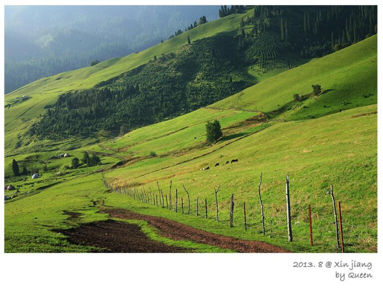
When we first heard about Sandao Haizi, it was from a herder in Qinghe Town who described “three lakes with stones older than anyone can count.” We rented a 4WD the next morning and drove three and a half hours northeast, climbing from the dusty county basin onto a green alpine shelf near the Mongolian border. What we found at about 2,700 meters was not a monument you can photograph from a viewing platform. It is a field of patiently stacked stone, a few carved standing stones, and three cold lakes that local Kazakh families still use as summer pasture. Sandao Haizi is one of the most important early nomadic sites in the Altai, and almost no foreign visitors have heard of it.
This guide comes from two trips we made to the site, cross-checked against the published archaeology from the Chinese Academy of Social Sciences. I am not an archaeologist by training, but I have walked the ring, counted the deer stones, and sat through a border-permit interview so you do not have to learn the hard way.
| Fact | Detail |
|---|---|
| Where | Chagan Gol township, Qinghe County, Altay Prefecture, Xinjiang |
| Altitude | about 2,675 to 2,700 meters |
| Distance from Qinghe Town | roughly 153 kilometers |
| What is there | three alpine lakes, a giant stone ring, 39 plus deer stones |
| Main period | 8th to 6th century BC, early Iron Age |
| Protection status | National Key Cultural Relics Protection Unit, listed 2001 |
| Best window | late June to early September |
| Facilities | none on site, bring everything you need |
What the giant stone ring actually is
The centerpiece sits above Hua Haizi, the first and largest of the three lakes. Picture a stone ring about 76 meters across, with a central mound roughly 34 meters in diameter built from an estimated 20,000 cubic meters of rock. Radiating spokes once linked the mound to the outer ring in a cross pattern, and two of them still survive. Around the ring are about 49 smaller stone circles, each a private ritual space. Archaeologists now read the whole complex as a summer ritual center for an early nomadic aristocracy, not a single tomb. The scale is hard to convey until you stand inside it and realize the wall of stone reaches your chest.
The name Sandao Haizi means three lakes. From southeast to northwest they are Hua Haizi, Zhong Haizi, and Bian Haizi, each fed by snowmelt and springs and ringed by alpine meadow. Hua Haizi, the flower lake, is where the great ring stands. On a clear morning the water is the color of polished steel and the only sound is wind moving through the grass.
A detail that stays with me: the central mound was built into a shallow dug basin, and early excavation recovered the fragmented skull of a man around forty years old, placed deliberately. Whether this was a sacrifice, an honored founder, or something else, the people who built this were making a statement meant to outlast them by three thousand years.
The deer stones of Qinghe
Qinghe County holds more than 39 deer stones, over half of all such stones recorded in Xinjiang. A deer stone is a tall upright slab carved with a running deer whose body stretches along the edge, legs tucked, antlers swept back, often flanked by belts, weapons, and small solar symbols. They stand near the larger mounds, as if marking the people buried or honored there. The carving style links Qinghe to the wider Scythian world that ran from the Altai across Mongolia and into the Baikal region.
We traced one weathered stone with our hands and could still make out the deer’s eye. The locals call them stone deer and treat them with quiet respect. There is no rope or fence, only the open grassland and the wind.
The shield stones and a surprise find
Between 2013 and 2016, excavators from the Chinese Academy of Social Sciences, working with the Altay and Qinghe cultural-relic bureaus, uncovered something no one had documented before: pentagonal stone slabs carved with shield-like motifs, some carrying seven or nine incised bands. Scholars believe these shield stones were ritual objects, not weapons, used in ceremonies at the highest-status sites. Finding them here was a world first and helped shift the interpretation of the whole valley from mysterious graves to a coordinated ceremonial landscape.
The legend that refuses to die
Ask anyone in Qinghe about the stone ring and you will hear two stories. One claims it is the tomb of Güyük Khan, the grandson of Genghis Khan and the third Great Khan of the Mongol Empire, who died in the 1240s. The theory rests on the mound’s imperial scale and a local tradition, but the archaeology points two thousand years earlier, to the Saka nomads of the early Iron Age. The other story, popular with drivers and herders, is that the ring marks an ancient landing point for visitors from the sky. Neither is proven, and that is precisely why the place feels alive. The stones do not explain themselves.
Reaching Sandao Haizi from Qinghe Town
There is no bus, no gate, and no sign in English. From Qinghe Town you drive roughly 153 kilometers northeast toward Chagan Gol township and then onto a rough mountain track. The last stretch is unpaved and turns to mud after rain, so a high-clearance 4WD and a local driver who knows the water crossings are strongly recommended. If you are mapping your own route through the north, our G216 back-way driving guide covers the approach roads in more detail.
Because the site sits close to the Mongolian border, travelers may be asked for a border-defense permit, known locally as a fangbianzheng. We obtained ours at the Qinghe public-security office the day before. Rules change, so confirm with the county tourism desk when you arrive. Allow a full day round trip even if the distance looks short on paper.
The short summer window at Sandao Haizi
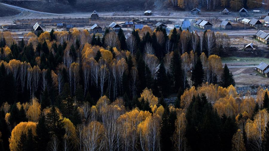
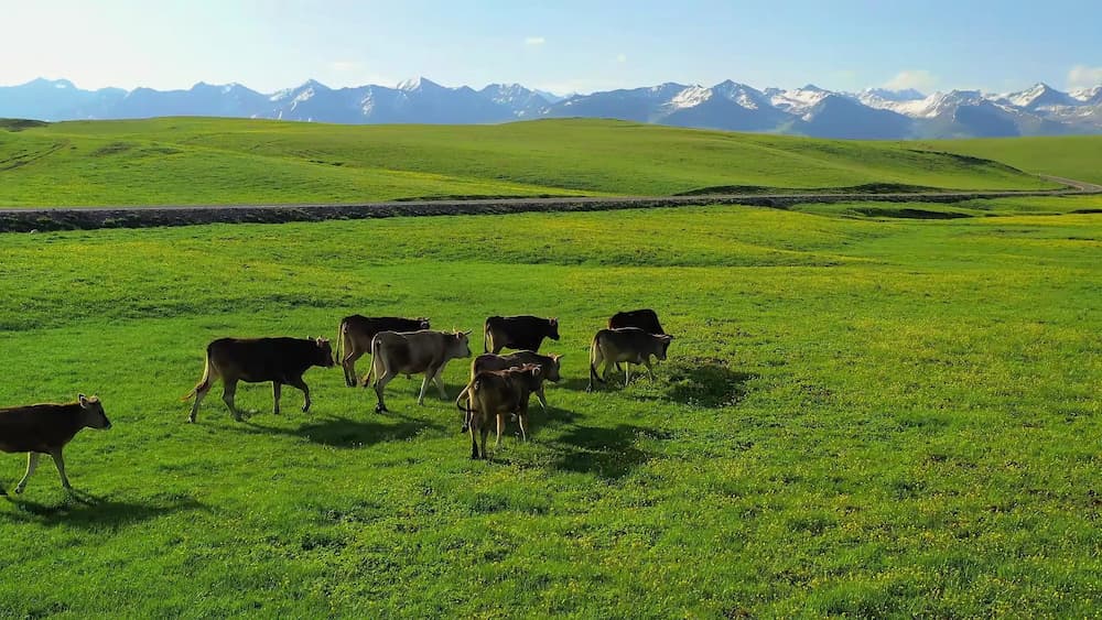
Sandao Haizi lives at altitude, and the season is brutally short. The lakes are usually ice-free from late June, and the grassland stays green into early September. By mid-September the first snow can close the track, and from October to May the site is effectively unreachable. We went in mid-July both times and had clear mornings, afternoon thunderstorms, and mosquitoes that treated repellent as a condiment. If you want wildflowers across the meadows, aim for late June or early July.
Where we based ourselves
Qinghe Town is the practical base. It is a small, plain county seat with a handful of hotels, a couple of decent restaurants, and a gas station that only sometimes takes card payment. We stayed in a basic but clean county hotel for about 200 yuan a night and ate breakfast at the market. Do not expect international chains or English signage. Altay City, three hours west, has better airports and hotels if you want a softer landing. Our Altay City guide explains how to use it as a hub.
Eating in Qinghe Town
The food in Qinghe is straightforward northern Xinjiang cooking. We ate a lot of hand-pulled noodles, fried with mutton and green peppers, and a plate of boiled mutton with onion that needed nothing else. The morning market sells dried curd and a salty milk tea that kept us warm before the drive. If you are exploring more of the region’s rock art, the Dundebulak petroglyphs guide pairs well with this trip and shares the same base town.
Five things I would tell a friend
1. Fuel up and fill water in Qinghe. There is nothing at the site.
2. Tell someone your plan. The valley has patchy phone coverage.
3. The altitude is real. Move slowly the first hour.
4. Bring cash. The permit office and small eateries may not take cards.
5. Respect the stones. Do not climb the ring or trace carvings with chalk.
How we spent a day at the site
We left Qinghe at 7 a.m., reached Chagan Gol by 9, and were standing at the Hua Haizi ring by 10:30 after a slow final climb. We spent two hours walking the outer ring, photographing the deer stones, and eating lunch by the lakeshore. By 1 p.m. the clouds were building, so we started back, stopping at a herder’s yurt for milk tea. We were back in Qinghe before dark with the better part of a day’s driving behind us. If you add the broader Qinghe travel guide, you can stretch this into a relaxed two-day loop.
Questions travelers ask
Is Sandao Haizi the same as Kanas?
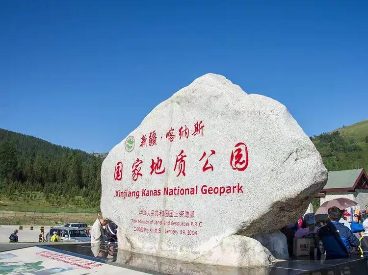
No. Kanas is a famous lake and village further west. Sandao Haizi is a separate archaeological landscape near the Mongolian border in Qinghe County.
Can I visit independently?
You can drive yourself with a suitable vehicle, but a local driver saves trouble with the track and the permit.
Are the deer stones fenced or guarded?
Largely open. Treat them as living heritage and do not disturb them.
How long should I plan for?
A full day from Qinghe, or two days if you want to combine nearby sites.
A note before you go
The details above reflect our visits in 2024 and 2025 and published archaeological reports available at the time of writing. Border-permit rules, road conditions, and site access in Xinjiang change, and the area sits near an international frontier where access can be restricted without notice. Confirm the current status with the Qinghe County tourism office or a licensed local operator before you travel. This article is a travel account, not an official source, and nothing here should be treated as legal or safety advice.
About the writer
Karl Huang is a travel writer focused on Xinjiang’s lesser-known destinations. He has spent several seasons documenting the Altai’s archaeological and natural sites, and prefers unmarked roads to crowded viewpoints. He publishes independent, first-hand travel guides at Xinjiang Attractions.