Published: October 15, 2026 | Author: Karl Huang
Most visitors arrive at the Jiangbulak grassland expecting pasture and leave talking about everything else they found: a Han dynasty fort above the fields, Kazakh herders moving camp with the season, and wheat terraces climbing almost to the spruce line. The park sits in Qitai County, Changji Prefecture, on the northern slope of the Tianshan about 200 kilometres east of Urumqi. We have travelled the northern foothills of this range since 2018, and this guide covers what day-trip itineraries usually skip: the Shichengzi ruins, the herding summer, and the practical business of driving in, sleeping up there and eating well on a mountain that is also somebody’s farm.
Key facts before you go
| Item | Detail |
|---|---|
| Location | Banjiegou Town, Qitai County, Changji, Xinjiang; about 45 km south of Qitai county town and roughly 200 km east of Urumqi |
| Altitude | Wheat belt around 1,700 m; high meadows climb toward 2,200 m |
| Status | National forest park; rated 5A in July 2022 |
| Tickets (2026) | About 55 RMB high season, 25 RMB off season; shuttle bus 30 RMB; private cars with 7 seats or fewer around 100 RMB per vehicle |
| Best window | Late August to early September for golden wheat; June for wildflowers; November to April is snow season |
| Time needed | One full day minimum; two days if you want the fort and the meadow properly |
| Nearest airport | Qitai Jiangbulake Airport, 15.7 km from the county town, opened August 2024 |
The Jiangbulak grassland: one mountain, three living layers
The name is Kazakh and is usually translated as “source of holy water”, which makes sense once you notice the springs feeding the streams that run north out of the range. What makes the valley unusual is how many layers of use it carries at once. The lowest slopes have been dry-farmed for centuries; the wheat here, around 13,000 hectares of it, lives on rain and snowmelt alone. Above the fields, Kazakh families summer their livestock on the open meadow. Folded into the same ridgeline sits one of the most important Han dynasty sites in Xinjiang.
The protected area covers about 48 square kilometres of forest, gorge and grassland on the flank of the range UNESCO inscribed as the Xinjiang Tianshan in 2013, and since July 2022 it has carried the 5A rating, China’s top scenic category. We have written a separate deep dive on Jiangbulake’s wheat terraces; this page goes looking for what else deserves your time.
Our first evening on the Magou ridge road
We drove up from Qitai county town in late afternoon, which we would now recommend to anyone. Past Banjiegou the county road climbs through switchbacks, and somewhere past the third bend the wheat starts following the contours in long curved shelves. A fog bank sat on the ridge when we crested it, and the temperature fell from twenty-five degrees to something near eight inside half an hour. That swing, more than any single view, is what we remember from that first trip.
At a viewpoint near the hay meadows we met a herder walking his horses down to water. He was not selling the ride we assumed; he wanted to know where we were from and whether we had tried kumis, the fermented mare’s milk that appears at yurt stops in midsummer. We had not. It tastes sour and faintly sharp, a detail no brochure will give you. We drank a bowl, and he waved us on toward the ruins road we had almost driven past.
Geng Gong’s last stand at Shichengzi
Just under two kilometres northeast of Magouliang village, inside the park, a low line of collapsed rammed earth marks the site known as Shichengzi. Archaeologists identify it as the fortress the histories call Shule City, where the Eastern Han officer Geng Gong held out against the Northern Xiongnu through the siege of 75 to 76 AD. A few hundred men, cut off for months, eating saddles and boiling armour leather by the end; when relief finally came, thirteen survivors rode back through Yumen Pass. The Book of Later Han records the episode, and later historians judged his loyalty to outdo even Su Wu’s, about as high as a reputation gets in the Chinese tradition.
The identification is the mainstream view, though a few scholars argue for an alternative site in neighbouring Jimsar, so treat it as strongly supported rather than settled. What the dig has established is remarkable on its own. Between 2014 and 2019 the Xinjiang Institute of Cultural Relics and Archaeology excavated the 110,000 square metre site, finding double enclosures, corner towers, a moat and Han style roof tiles and Wu Zhu coins. Burnt clay under the collapsed roofing suggests the city ended in fire. In 2013 the State Council listed Shichengzi as a national key protected site, and the excavation was named one of China’s top ten archaeological discoveries for 2019.
On the ground this is a ruin of ridges and bumps, not a rebuilt fort. The payoff comes from standing on the northeast corner where the ground drops away: from here a Han garrison could watch the corridor north to Qitai and the passes south through the mountains to the Turpan Basin. Once you see that, the location explains itself.
How herders use the high meadow in summer
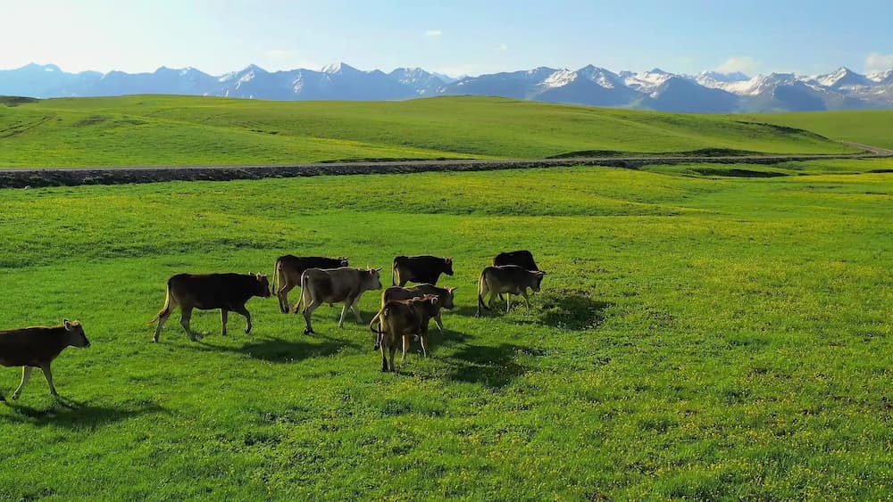
The meadow above the wheat line is working land, not scenery. From roughly June Kazakh families move horses and sheep up from the winter grounds, and the yurt camps you see from the road are homes for the season, not props. The rhythm is easy to read: dawn milking, midday rest, the animals brought to the streams in late afternoon. Hay cutting starts toward the end of August.
Yurt stays and salted milk tea are the honest way to spend an evening up here, and horse rides at the main camps usually run around 150 RMB an hour. Agree price and duration before you get on, because one lap can mean whatever the seller needs it to mean. If the pastoral side of the region interests you, our guide to Kazakh culture of the Tianshan goes much deeper than we can here.
The drive in: expressway, county town and the last 45 kilometres
Self-drive is the best way to see this park and the only way to chase light across the fields. From Urumqi take the G7 expressway east about 200 kilometres to Qitai county town, roughly three hours with a break, then continue south through Banjiegou to the visitor centre, another 45 minutes. Fill the tank in Qitai: there is no fuel inside the park, and the loop plus the ruins road uses more than you expect.
Cars with seven seats or fewer can buy a vehicle ticket, around 100 RMB on top of the roughly 55 RMB entry, and drive the full loop. If you would rather not drive the switchbacks, the shuttle costs about 30 RMB and generally leaves last around 19:30 in summer. Without a car, direct high-season coaches run from Urumqi for roughly 150 RMB each way, or take a regular bus to Qitai and a local minibus toward the park. Flying in also works now: Qitai Jiangbulake Airport opened in August 2024, 15.7 kilometres from the county town, with links to Chengdu, Fuzhou and several Xinjiang cities. Our guide to Qitai County covers the wider area.
A colour calendar from June to the first snows
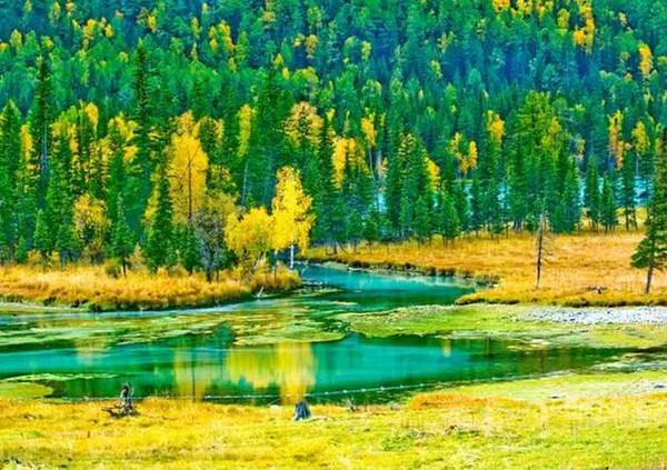
June brings wildflowers and young green wheat with the thinnest crowds; through July the fields turn a deep, almost blue green. The window we would set an alarm for runs from about August 20 to September 10, when the wheat goes gold while the meadow and spruce are still green. Harvest follows around September 20, after which the terraces become stubble. October goes brown and cold, and from November to April access narrows to the ski operation. If you are building a wider plan, our season by season guide to the best time to visit Xinjiang will help you slot this in.
Three ways to spend a night on the mountain
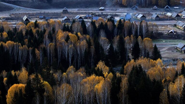
First, inside the park. The hotel and cabin options near the main viewing area put sunrise fog and night skies on your doorstep, and the wooden cabins we tried were warm but thinly walled. Book well ahead for the golden wheat window; the good rooms go two or three weeks out. Second, the guesthouses and farm stays around Banjiegou, just below the gate, cost noticeably less and keep you twenty minutes from the loop. Third, Qitai county town has the full spread of chain and local hotels, roughly 150 to 600 RMB, and suits anyone pairing the park with the county’s other sights. Summer camping is permitted at designated spots; night temperatures can fall toward five degrees even in August, but the Milky Way reward is real.
What reaches the plate on the northern slope
Order around the Kazakh table: salted milk tea to start, borsak, the pillowy fried dough, alongside it, and dried cheese curds called kurt for the road. Further down the valley mutton anchors the menu, from boiled meat with onion to skewers over charcoal, and noodles or big plate chicken appear on the Han Chinese menus in Banjiegou and Qitai. Qitai’s black wheat naan makes the county’s best edible souvenir.
Manage expectations inside the park: restaurants are few, portions small and prices climb with the altitude, so we travel with bread, fruit and water and treat any hot meal up there as a bonus rather than a plan. 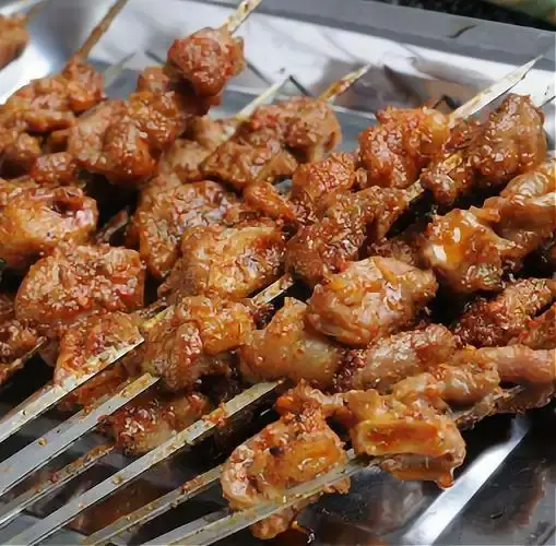 In autumn the mountain meadow honey sold at roadside stalls near Banjiegou is worth a jar if you see it.
Details that save a day up there
Altitude here is real but mild; take the first hour slowly and a flatlander will be fine. Pack for two seasons in one day, because a 25 degree afternoon can end at 5 degrees after dark, and afternoon storms build fast over the ridge in summer; a rain shell earns its space. Phone signal fades in the valleys, so download offline maps before the visitor centre. Agree horse ride prices before mounting, keep the shuttle timetable in mind if you are not driving, and if a two day ticket is on offer, take it: the second morning, with fog on the fields and nobody else on the loop, was the best half day we spent there.
Two days linking the fort and the meadow
Day one: leave Urumqi by eight, reach Qitai around eleven and eat properly, because options thin out above Banjiegou. Enter after lunch, drive the loop with stops at the main terrace viewpoint and the gravity hill where water seems to run uphill, then give the late afternoon to the high meadow and the evening to the light leaving the fields. Sleep in the park or at Banjiegou.
Day two: up early for fog on the terraces, then mid morning to the Shichengzi ruins and Magouliang while the light is still low enough to read the earthworks. After lunch, and if you want one more stop, Qitai’s silicified wood and dinosaur geopark sits on the northern side and makes a satisfying companion piece: a morning of Han frontier, an afternoon of 150 million year old trees. Reach Urumqi by night.
Questions travellers ask
Can you drive your own car inside the park?
Yes. Cars with seven seats or fewer buy a vehicle ticket, about 100 RMB in 2026, at the visitor centre and drive the full loop.
How high is the Jiangbulak grassland?
The farmed belt sits around 1,700 metres and the open meadow climbs toward 2,200 metres. Most people feel nothing worse than mild breathlessness on a climb.
Is one day enough?
For the loop, the viewpoints and the gravity hill, yes. For the Shichengzi ruins and an evening in the herding country, stay the night; a second morning is the difference between seeing the place and understanding it.
Can you visit in winter?
Access narrows sharply in the snow months, when the ski area becomes the main draw. Confirm winter arrangements before planning a cold season trip.
A note on this guide
Ticket prices, shuttle schedules and opening hours change with little notice. Details reflect our visits and the park’s posted information as of 2026; confirm at the gate before building an evening around the last shuttle. We have no commercial relationship with any site, hotel or operator named here.
Who wrote this guide
Karl Huang has travelled in Xinjiang since 2018, mostly by train and rental car, and writes about the practical side of the region for visitors. He has made several trips through the northern Tianshan foothills around Qitai, visiting the Jiangbulak area in both summer and the golden wheat season, and spent longer than his travelling companions would have liked walking the earthworks at Shichengzi.