Published: August 17, 2026 | Author: Karl Huang
A friend planning a Xinjiang trip asked me recently which single drive he should not miss. When I said it depends, he pressed for a straight answer. The truth is that the Duku vs Karakoram Highway debate is not about crowning one road king. They sit in opposite corners of the region and deliver entirely different days behind the wheel. One cuts north to south through the Tianshan; the other climbs onto the Pamir and ends at the Pakistani frontier. I drove both within the same week one summer, and I still refuse to pick a single winner. What I can give you is a clear account of what each road feels like, when it opens, what it costs in time and permits, and which kind of traveler each one rewards.
At a Glance: The Two Roads Side by Side
| Factor | Duku Highway | Karakoram Highway (China side) |
|---|---|---|
| Length | 561 km, Dushanzi to Kuqa | About 415 km, Kashgar to Khunjerab Pass |
| Mountain range | Tianshan | Pamir and Karakoram |
| Open season | Early June to late September | Year-round to Tashkurgan; border limited in winter |
| Top elevation | Hashilegen pass around 3,400 m | Khunjerab Pass 4,733 m |
| Drive time | One long day, or split over two | Kashgar to Tashkurgan about 6 hours |
| Permit needed | None for Chinese travelers | Border-area permit for Tashkurgan |
| Best for | Scenery variety in a single day | High-altitude Pamir drama |
The figures cover part of the story. They miss the texture, so let me take each road in turn.
What Driving the Duku Highway Is Actually Like
We began the Duku at Dushanzi on a Tuesday in early July. The opening 30 kilometers are almost boring: flat industrial fringe, a little highway monotony, nothing that hints at what comes next. Then the road bends upward and the scenery starts stacking. Within two hours we had climbed past the high switchbacks and pulled over at a turnout to look down on a green basin that felt like a different country.
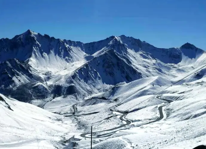
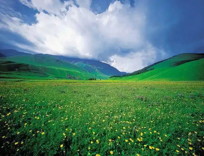
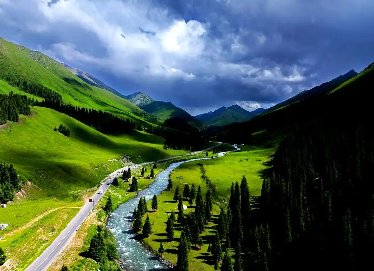
The Duku’s real talent is compression. In a single day you pass snow-fenced tunnels at around 3,400 meters, drop through spruce forest, cross the open grasslands near Nalati, skirt the wetlands of Bayanbulak, and finish among the red rock of the Kuqa canyon. We counted four separate climate zones before lunch. The Hashilegen pass still carried patches of snow in July, and the wind there cut straight through a jacket we had been comfortable in at the morning start.
There is history here too. The road was built over a decade by PLA units, and the Qiaolma martyr cemetery near the midpoint marks the workers who died carving it through the range. Stopping there reframes the drive from scenery into something heavier. Near the southern end, the Tian Shan Mysterious Grand Canyon outside Kuqa makes a fitting finale, its walls glowing orange in the late sun.
Two honest warnings. The Duku is crowded in August; we sat in a 40-minute crawl near the Bayanbulak turnoff. It is also a working mountain road with tight shoulders and very few legal stopping places. Choose your photo stops before you leave, because the good ones fill fast.
What the Karakoram Highway Demands
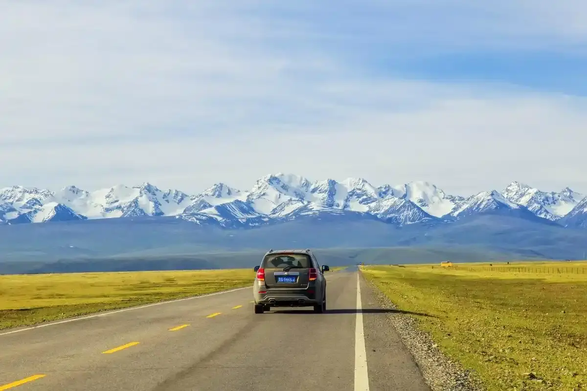
The KKH is a different animal. We left Kashgar before sunrise and were in open desert within the hour, then climbed steadily onto the Pamir. The run between the white-sand lake of Baisha and Karakul Lake, with Muztagh Ata filling the windshield, is the kind of drive people replay in their heads for years. Rolling up to Khunjerab Pass at 4,733 meters, the highest paved border crossing on the planet, felt less like a road trip and more like an expedition.
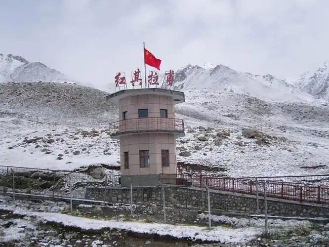
This road asks more of you. Tashkurgan sits at 3,100 meters, and the pass itself is high enough that we noticed the thin air just walking to the viewpoint. You need a border-area permit for the Tashkurgan stretch, arranged in Kashgar, and ID checks are routine. None of it is hard if you prepare, but it is not the spontaneous detour that the Duku can be.
The reward is altitude and quiet. The Pamir is emptier than the Tianshan, the light is harder, and the scattered Kyrgyz and Tajik settlements along the way feel genuinely remote. If the Duku is a highlight reel, the KKH is a slow build to one overwhelming view.
How to Reach Each Starting Point
For the Duku, most travelers start from Dushanzi in the north (a short hop from Urumqi) or Kuqa in the south, both reachable by train or flight. For the KKH, everything begins in Kashgar, which has daily flights from Urumqi and solid rail links. If you would rather not drive, renting a car in Xinjiang with a driver is the usual way foreign visitors handle either road, since both are demanding for an unfamiliar driver.
Best Time to Go
The Duku is the stricter of the two. It shuts for winter, typically from early October until the first week of June, because snow buries the high passes. Mark mid-June through September as your window, with July and August the busiest. The KKH to Tashkurgan stays open through most of the year, though the actual border crossing to Pakistan keeps limited hours and can close in deep winter. Spring and autumn on the Pamir are cold but clear; summer brings the most dependable road conditions.
Where to Sleep
On the Duku, the sensible overnights are Dushanzi or Urumqi in the north and Kuqa in the south, or the tourist towns of Nalati and Bayanbulak if you want to split the drive across two days. Book ahead in July and August. We watched a family turned away from a full Bayanbulak hotel at 7 p.m. On the KKH, Kashgar is your base before the drive, and Tashkurgan has a small but adequate set of hotels for the night before pushing to the pass.
Food on the Road
Neither highway is a food tour, but both deliver. The Duku runs through Uygur and Kazakh country, so expect laghman noodles, samsa from roadside ovens, and sweet cantaloupe in season. On the Pamir, Kyrgyz and Tajik kitchens lean on hearty noodle soups, flatbread, and dairy. Carry water and snacks regardless. The middle stretches of both roads have long gaps between services.
Practical Tips Before You Turn the Key
Fill the tank at both ends. Fuel is sparse in the middle of each road. Bring layers. We went from 28°C to near freezing on the Duku in one afternoon. On the KKH, start the border permit a day early in Kashgar, and do not underestimate the altitude. Both roads reward an early start. The light is best and traffic lightest before 9 a.m. For background on the old trade routes these roads follow, our Silk Road history timeline puts both highways in context. And before any high-mountain driving, check the year’s seasonal pass closures so you are not caught out by an unexpected shutdown.
Duku vs Karakoram Highway: The Verdict
If you want variety packed into one day, with forests, grasslands, and canyons all before dinner, the Duku wins. If you want altitude, silence, and a borderland that feels like the edge of the map, the Karakoram wins. Most visitors should not choose at all. They should fly into Urumqi, drive the Duku south, then transfer down to Kashgar and run the KKH up to Tashkurgan. Two roads, two completely different Xinjiangs.
A Realistic Way to Do Both
They are far apart, roughly 1,000 km separates Dushanzi from Kashgar, so drop the idea of a single loop. A workable plan: fly into Urumqi, drive the Duku south to Kuqa, then take the train or a flight from Kuqa or Aksu down to Kashgar, and run the KKH up to Tashkurgan from there. That keeps each road as its own focused segment instead of a punishing cross-region marathon.
Frequently Asked Questions
Can I drive the Duku and the Karakoram Highway in the same trip?
Yes, but treat them as two separate adventures joined by a long transfer between the Tianshan and the Pamir. Budget at least two full days for the Duku region and two for the KKH.
Which is safer for a nervous driver?
The KKH has wider, faster desert and plateau sections. The Duku is narrower and heavier on switchbacks. Neither is dangerous with care, but many visitors choose a hired driver for both.
Do I need a 4×4?
No. Both roads are fully paved. A standard car or SUV is fine. The limit is driver skill and paperwork, not vehicle type.
Is the Khunjerab border open to cross into Pakistan?
The Chinese side to the pass is open in season, but crossing into Pakistan requires a Pakistani visa, and the crossing keeps restricted days and hours. Confirm current status before building a plan around it.
Disclaimer
This article reflects our travel experience and research as of 2026. Road opening dates, permit rules, and border crossing conditions in Xinjiang change, sometimes with little notice, because of weather and administrative updates. Always confirm the current status with local transport bureaus or your accommodation before traveling, and check official advisories for your nationality. We are not responsible for disruptions, closures, or penalties arising from the information here.
About the Author
Karl Huang is a travel writer who has spent multiple seasons driving Xinjiang’s mountain roads, from the Tianshan switchbacks of the Duku to the high Pamir of the Karakoram Highway. He focuses on practical, first-hand guidance for independent travelers and contributes regularly to Xinjiang Attractions. When he is not on the road, he researches route conditions, permits, and seasonal access so readers get advice they can actually use.