Published: October 22, 2026 | Author: Karl Huang
Fuyun County sits at the eastern end of Altay Prefecture, and on our first long drive up from Urumqi toward Koktokay we used it exactly the way most visitors do. We rolled in, found a hotel, ate a late dinner, and treated it as a waypoint. What caught us off guard on the second trip was how much county there is once you look past the Koktokay turnoff. Fuyun County is the administrative anchor of northern Xinjiang’s coldest pocket, the town where the Irtysh River begins its run to the Arctic, and the practical base for the UNESCO-listed Koktokay geopark. This guide is built on two road trips through the county in 2025 and 2026, cross-checked against the official Fuyun County profile published by the local government.
Fuyun County by the numbers
| Item | Detail |
|---|---|
| Location | Eastern end of Altay Prefecture, northern Xinjiang; borders Mongolia along a 215 km northern frontier |
| County seat | Ku’erqisi Town (Ku’erqisi), about 800 m above sea level |
| Area | 33,700 square kilometres, larger than many European countries |
| Population | About 150,000, with Kazakh, Han and more than 20 other ethnic groups |
| Distances | Roughly 480 km to Urumqi; about 237 km to Altay City |
| Headline river | The Irtysh (Ertix), the only Chinese river that reaches the Arctic Ocean |
| Star sight | Koktokay, a UNESCO Global Geopark since 2017 and a 5A scenic area, about 52 km from the seat |
| Getting there | G216 highway through the county; Fuyun Railway Station on the Altay-Fuyun-Zhundong line; Fuyun Keketuohai Airport with Urumqi flights |
| Climate | North Temperate continental; Koktokay recorded minus 51.5C, among China’s coldest readings |
| Best window | June to early October for the green season and the open geopark |
Why Fuyun County is more than a Koktokay stopover
Most travel writing about this corner of Xinjiang treats Fuyun as a verb rather than a place. You pass through on the way to Koktokay, you read the road sign, and you keep driving. That reflex is a mistake. The county spans 33,700 square kilometres and it holds the seat of government, the railway station, the airport, and the daily rhythm that the scenic area itself never shows. We learned this the practical way when a May snowstorm closed the Koktokay road for a full day and we were grateful to be sitting in a real town with a heated room and a hot breakfast instead of stranded at a mountain gate. Use Fuyun as the base and Koktokay as the excursion, and the whole trip gets calmer and cheaper.
The Irtysh River’s strange journey north
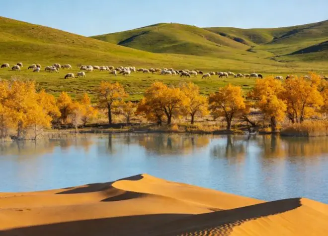
The detail that makes Fuyun worth understanding is its river. The Irtysh rises in the Altai and flows right through the county seat, then turns northwest into Kazakhstan and Russia, joins the Ob, and finally reaches the Arctic Ocean. It is the only river in China that drains to the Arctic, which still surprises people who picture all of China’s water heading south or east. Locals call the Irtysh the water tower of northern Xinjiang, and the upper reaches here are exactly where that water starts its long, cold journey. Standing on the bridge in town we watched it run grey-green and fast under a low northern sky, and it was hard to believe the same water would one day touch the edge of the polar sea. Our Irtysh Grand Canyon guide covers the granite gorge where the river cuts through the mountains southwest of here.
What the county seat actually feels like
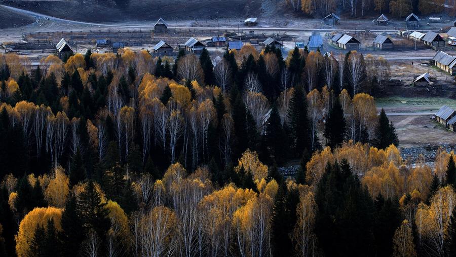
Ku’erqisi Town is a northern border county seat, and it feels exactly like that. The buildings are low, the streets are wide and quiet, and the air has a bite to it even in June if the wind comes off the mountains. We spent an evening walking the riverside, where families stroll and older men fish from the bank, and the mix of Kazakh and Han faces in the bazaar tells you this is a genuine crossroads rather than a tourist strip. The town is functional and a little plain, but that is its strength: you get real hotels, real restaurants, and a petrol station that opens early, none of which you can count on up at the scenic area. For a traveller, the seat is the place to recharge before and after the mountains.
Using Fuyun as your Koktokay base
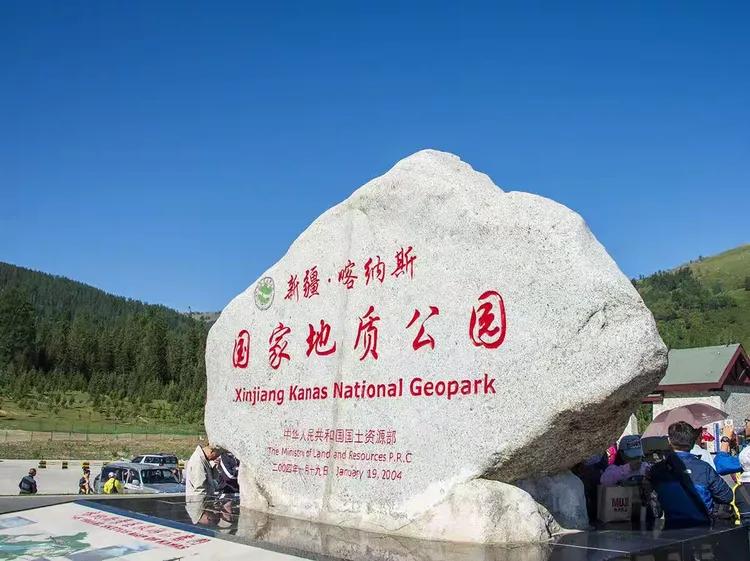
Koktokay Town sits about 52 km from the county seat, and the Koktokay scenic area gate is roughly 33 km out. That makes the seat the obvious place to stay. You keep your luggage in a warm hotel, drive up to Koktokay for the day, and come back down to a real dinner. The geopark itself is the headline: a UNESCO Global Geopark since 2017, a 5A rating, granite peaks like the Bell Mountain, and the famous No. 3 Pit rare-metal mine that once helped pay a national debt. We cover the mine in its own piece, the No. 3 Pit at Koktokay, and the fuller sightseeing list in our Koktokay complete travel guide. Basing in Fuyun lets you do both as relaxed day trips instead of racing the closing gate.
Getting to Fuyun County by road and rail
The G216 highway is the spine here. It runs from Urumqi up through the Junggar and into Altay, and it passes straight through Fuyun, a drive of roughly 480 km that takes six to seven hours with stops. We have done it in a single day and it is a long but straightforward run on good tarmac. Trains are the easier option now: Fuyun Railway Station opened on the Altay-Fuyun-Zhundong line and connects to Urumqi, which turns a slog into a sleep. If you would rather fly, Fuyun Keketuohai Airport runs flights to Urumqi, handy in winter when the road weather turns ugly. From Fuyun the road continues north to Altay City about 237 km away, the usual next stop toward Kanas. Our G216 driving guide maps the whole back route from Altay to Urumqi.
The climate you must plan around
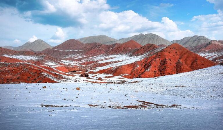
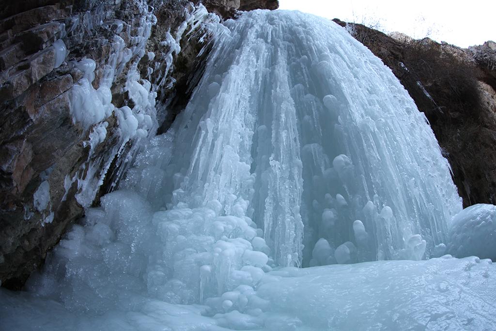
Fuyun has a North Temperate continental climate, which is a polite way of saying the seasons are extreme. Summers are short and can still hit 39C on a hot afternoon, but the winters are long, dry, and severe. Koktokay recorded minus 51.5C in 1961, one of the lowest temperatures ever measured in China, and the county seat itself regularly drops past minus 40C in January. Annual rainfall is light, around 158 mm, so the air is crisp rather than humid. The practical lesson is to pack for cold even in summer if you go up toward Koktokay, where the elevation adds a wind that cuts through a T-shirt. Snow can close the mountain road from late autumn into spring, so we steer visitors toward June through early October, the window our month-by-month best time guide also recommends for northern Xinjiang.
Where to sleep in and around the county seat
The county seat has the best range of beds in the area: clean mid-range hotels, a few newer business hotels near the railway station, and warmer rooms than anything up at the scenic gate. Prices sit at county-town levels, well below what you pay in a resort town, and the heating is reliable, which matters more than it sounds when the night temperature drops. Koktokay Town also has lodging if you want to be first in line at the gate, but we have always preferred sleeping low and driving up. If you want a bigger choice of hotels, Altay City an hour or two north has more, and it is the better base if Kanas is your final destination.
The Fuyun table: Irtysh fish and highland lamb
The food in Fuyun is northern and hearty, built around two things the county does well. First, the Irtysh gives up cold-water fish, including northern pike and perch, usually served braised or in a broth that warms you after a windy day. Second, the surrounding pasture feeds lamb that ends up in hand-grabbed rice, laghman noodles, and the Kazakh dishes you find in the bazaar: naren with horse meat, fried dough called baursak, and salty milk tea. We ate our best meal in a small county-town place where the fish came whole and the bread was still warm, and the bill was a fraction of a city restaurant. The bazaar in the morning is the move if you want to see the produce and the dried fruit before you eat it.
A borderland note: Fuyun and Mongolia
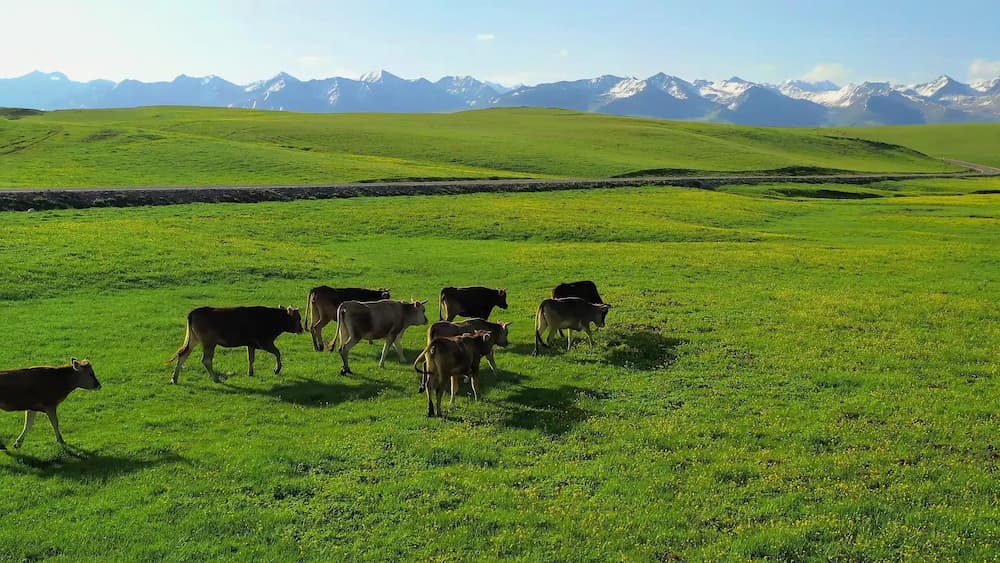
Fuyun’s northern edge meets Mongolia along a frontier of roughly 215 km, and you feel that borderland identity without ever needing to cross. The Kazakh herders who move their flocks between seasonal pastures are a living reminder that this is a threshold country, where languages and trade routes have met for centuries. The actual frontier is a restricted military zone, not a tourist crossing, so ordinary visits to the county seat and Koktokay need no special permit. We mention it because the open steppe north of town has a particular emptiness that is easy to misread as remote, when in fact it is simply the edge of the map.
A two-night Fuyun stopover plan
This is the shape that worked for us. On day one, arrive from Urumqi by train or the G216 drive, check into a county-seat hotel, and walk the Irtysh riverside at dusk before a fish dinner. On day two, drive up to Koktokay for a full geopark day, either the granite canyon and Bell Mountain or the No. 3 Pit and mine museum, then return to the seat for the night. On day three, push north to Altay City or on toward Kanas, or simply roll back south to Urumqi. Two nights gives you the county and one proper Koktokay day without the panic of a same-day round trip. If the mountain road is closed by weather, the seat still has plenty to eat and a warm bed, which is exactly why we keep basing here.
Questions first-timers ask about Fuyun County
Do I need a permit to visit Fuyun or Koktokay? No. The county seat and the Koktokay scenic area are open to domestic travellers without a border permit. The Mongolia frontier itself is a restricted zone and not a tourist route, so you will not be crossing it by accident.
How many days should I plan? One night is enough if Koktokay is your only goal, but two nights let you do the geopark properly and keep a weather buffer. We treat a single night as the minimum.
When is it too cold to go? Deep winter, roughly December through February, brings severe cold and scaled-down Koktokay services. June to early October is the reliable window, with the meadows green and the roads open.
Can I fly or take a train? Yes. Fuyun Keketuohai Airport runs Urumqi flights, and Fuyun Railway Station connects to Urumqi by rail. Both beat a tired same-day drive in winter.
Is Fuyun worth a stop if I am only heading to Kanas? If you come up via the G216 or Altay, it is a natural break in the drive, and the fish and the cold-river walk are a nice contrast to the lake crowds later.
A straight word before you visit Fuyun
This guide reflects two road trips through the county in 2025 and 2026 and the public records of the local government, including the official Fuyun profile and the county overview summarised on Baidu’s Fuyun entry. Distances, train schedules, and flight routes shift, and winter weather closes mountain roads without much warning, so treat every figure here as a starting point to confirm before you travel. We have no commercial link to any hotel, restaurant, or operator named, and the minus 51.5C record belongs to Koktokay’s weather station, not to the county seat, where the cold is fierce but more forgiving.
About the writer
Karl Huang writes about northern Xinjiang for travellers basing in Urumqi and Altay. He has driven the G216 through Fuyun twice, once in the green of early summer and once in an autumn cold snap, and uses the county seat as his base whenever the Koktokay road throws a surprise.