Published: 04 September 2026 | Author: Karl Huang, who has been chasing Xinjiang’s mines, refineries and rail yards on every trip since 2017
Ask what they saw at Karamay and most travellers say a museum. Ask what they saw on the way and you get pump jacks. Yet the city, the well, the railway, the steel mill and the coal road are all reachable from the same highway, and most have not been tidied up. Xinjiang industrial heritage is not a theme park, which is what makes it worth a detour. This comes from nine trips chasing the first oil town, the rare-metal pit and the rail yards that feed coal out of the Gobi.
Why you can trust this page
Karl Huang has been driving the Junggar basin, the G30 corridor and the Duku Highway since 2017. Figures re-checked in 2026 against CNPC and the Xinjiang Department of Industry and Information Technology. Where a site is closed, fenced or unsafe, we say so. Nothing here is sponsored.
Quick reference: Xinjiang industrial heritage at a glance
| Site | Era and region | What survives | Can a traveller visit? |
|---|---|---|---|
| Dushanzi refinery district | 1909–1949; northern Junggar | Refinery skyline, canyon scar | Free viewpoints |
| Karamay city and Well No.1 | 1955–present; Junggar NW edge | Black Oil Mountain, 101 cave dwellings | City sites open; refinery fenced |
| Koktokay No.3 vein | 1935–1999; Altai Mountains | National mine park, pit 140 m+ deep | Paid ticket; viewing deck |
| Zhundong coalfield | Modern; eastern Junggar | 14 open-pit mines, 260 Mt/y capacity | View from highways; mines fenced |
| Urumqi first-factories cluster | 1951–1953; Urumqi | Bayi Steel furnace, Weihuliang chimney | Steel park open; rest gated |
| Dabancheng Wind Farm No.1 | 1988; Urumqi–Turpan corridor | 10 Danish 150 kW foundations, assembly hall | Heritage site; hall by request |
Dushanzi: where Xinjiang’s oil industry actually started
Dushanzi sits on G217 at the northern foot of the Tianshan, half an hour from the Duku Highway driving guideDuku Highway south gate. Most travellers only stop for the Dushanzi Grand Canyoncanyon, but the town’s reason for existing is older: in 1909 the Xinjiang Commerce Bureau drilled the province’s first modern industrial oil well here. From 1936 to 1943 the field ran with Soviet engineers and at peak produced 7,321 tonnes a year; by 1949 the workforce had collapsed to 150 people. The 1950 Sino-Soviet Petroleum Joint Stock Company restarted the field and built Xinjiang’s first atmospheric distillation unit in 1952; the Soviet share was handed back on 1 January 1955. Today the refinery is still a PetroChina complex processing Junggar crude, the flare stack and cracking towers visible from 5 km away.
Karamay: the city named after oil
Karamay takes its name from the Uyghur for black oil, after the Karamay oil town pageasphalt mounds of Black Oil Mountain two kilometres north of downtown. In June 1955 a 36-strong drilling team named 1219 walked 100 km south of Dushanzi, spudded Well No.1 on 6 July and struck industrial oil at 620 m on 29 October; the 8-hour choke test produced 8 tonnes. Xinhua reported it 26 November and by 1956 the find had its own float in the National Day parade and the song Karamay zhi Ge still plays here. The city was formally established in 1958 and remains the only city in the world officially named after petroleum. Black Oil Mountain is a park where the mounds still bubble, the vibrations earning the spot the name the heartbeat of the earth. The other open site is the 147-km Karamay–Dushanzi pipeline, China’s first long-distance crude trunk line, completed in December 1958.
The 101 cave dwellings and the workers who lived in them
The first oil workers lived in dig-down shelters called diwozi, half-buried rooms with a plank roof and felt door. The 101 Cave Dwellings, west of the No.2 Oil Production Plant, date from the summer of 1964 and were decommissioned for housing in 1972; in 2013 they were converted into a 6,400-square-metre petroleum memorial with two reconstructed dugouts and an exhibition hall. The Karamay refinery dormitory blocks (1959–1962) line Youyi Road, the First Kindergarten of the Petroleum Administration (1962) is heritage-listed, and the 1959 Workers’ Cultural Palace still hosts opera. None has a signpost; our Karamay itineraryKaramay itinerary covers the rest.
Koktokay: the mine that paid a country’s debt
The KoktokayKoktokay No.3 vein sits 54 km north of Fuyun county town in the Irtysh headwaters. The heavy history runs from 1960, after Moscow cancelled aid and demanded the equivalent of 5.2 billion RMB in debt by 1965. Koktokay ran a hundred-day winter export campaign of 1960–1961 in minus-40°C conditions. Two hundred miners mined 400 kg of ore per person per day. When China finished repaying the debt a year early in 1964, Koktokay’s output accounted for about 40 per cent of the total. The mineralogy reads like a nuclear history: beryllium for the 1964 atomic bomb, lithium for the 1967 hydrogen bomb, caesium for the 1970 satellite, tantalum-niobium for the 1971 nuclear submarine. Closed in November 1999, the hill is now a shaft more than 140 m deep. The site became the Koktokay National Mine Park in 2013.
Zhundong and Hami: coal at a scale you can only see from the air
Travel the G216 east of Urumqi toward Dabancheng wind farmsDabancheng and the desert starts to look engineered. The Zhundong coalfield, one of China’s fourteen large coal bases, holds an estimated 390 billion tonnes of coal in seams up to 80 m thick; fourteen open-pit mines run a combined 260 million tonnes a year. None is open to a casual visitor. Hami’s coal averages 28.96 MJ/kg. Outbound logistics shape the landscape: the Jiangjunmiao–Naomaohu railway, 429.9 km of electrified freight track through four wind zones, opened on 15 January 2024 and shortened Zhundong’s out-of-region distance by 28 per cent. It crosses 300 km of uninhabited desert with no water, power or signal, and works only 265 days a year.
Urumqi’s firsts: steel, cotton, power, coal
Urumqi city guideUrumqi has more first-generation industrial heritage than anywhere else in Xinjiang. Bayi Steel’s No.3 blast furnace in Toutunhe District was a 430-cubic-metre unit that ran for the early decades of Xinjiang’s first steel mill, which started on a Wang Zhen-led troop-funded budget in September 1951; the furnace body, dust collector, hot-blast stove and museum were inscribed on the second batch of the Xinjiang Industrial Heritage List in April 2026. The Xinjiang MuseumJuly 1 Cotton Mill, founded on 1 July 1952 in Shuimogou, was Xinjiang’s first modern cotton mill; the Soviet-style workers’ dormitory blocks still stand. The Weihuliang Thermal Power Plant, also in Shuimogou, generated its first current on 30 December 1953 and powered Urumqi until shut in December 2013; it reopened as a wind operator in Dabancheng and was added to the China Electricity Council’s Power Industry Heritage list in 2025. The Liudaowan Coal Mine, founded by troops in July 1951, was Xinjiang’s first modern state coal mine; the headframe has been kept as a heritage landmark.
Dabancheng: the wind farm that became a heritage site
Dabancheng wind farmsDabancheng sits on the G30 corridor about 80 km east of Urumqi and is the first serious wind corridor a traveller meets. The original Wind Farm No.1 was built in 1988 by Xinjiang Wind Energy with ten turbine foundations, an assembly hall and ten turbines: nine 150 kW machines and one 100 kW experimental machine, all from Denmark. In April 2026 the second batch of the Xinjiang Industrial Heritage List inscribed the original foundations, the assembly hall and the Danish turbines; the modern 6 MW machines you see from the road are a different project. The honest way to see the heritage is from the service road that runs along the original foundations. The G30 corridor is a controlled-airspace zone and 2024 regulations list wind farms as sensitive.
What you can actually photograph, and what will get you stopped
Black Oil Mountain, the Koktokay viewing deck, Bayi Steel’s tourist park and the Dabancheng original foundations are all open to a stills camera. The Dushanzi refinery is photographable from public roads; the Karamay refinery, the Junggar pipeline and the coal mines in Zhundong are all fenced and off-limits. Drones are the bigger risk. China’s 2024 interim drone rules put major energy and water facilities into controlled airspace, and Karamay and Dushanzi are publicised no-drone zones. Register and log your aircraft before your trip, and keep it folded at refineries and rail yards.
When to go: light, weather and shift hours
Late May through early October is the runnable season for the northern industrial route. Winter temperatures in KoktokayKoktokay drop below minus-30°C and most outdoor heritage sites close by mid-November. Spring dust storms on the G217 corridor run mid-March to mid-May, so put off the Junggar drive until June. Our month-by-month weathermonth-by-month guide lines up with refinery shift hours, when the flare stack looks best around dusk. Refineries glow best an hour before dusk and an hour after dawn, when the flare stack catches side light. Open-pit mines look best at noon from a distance. Koktokay needs morning sun to throw the spiral roads into relief.
Where to sleep and what to eat in a company town
Company towns run on company hotels. Karamay itineraryKaramay has the full chain range, from the PetroChina training hotel on Youyi Road to Express-by-Hour options. Koktokay has small family-run hotels; book ahead in summer. Urumqi has the most options and our booking hotelsplatform-comparison piece covers the gotchas. Meals are simple. Naan, laghman and shish kebab are universal; refinery canteens are open to contractors only. The Karamay Workers’ Cultural Palace canteen serves Soviet-style zakuski cold plates, a leftover of Baku training in the 1950s. Carry cash; many old hotels and coal-country petrol stations still prefer mobile pay or cash.
A five-day industrial north route
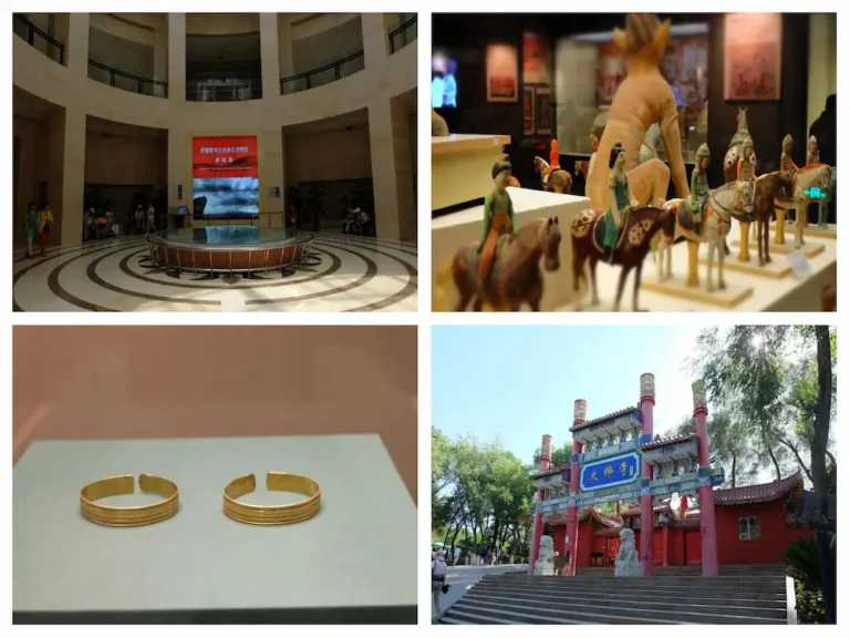
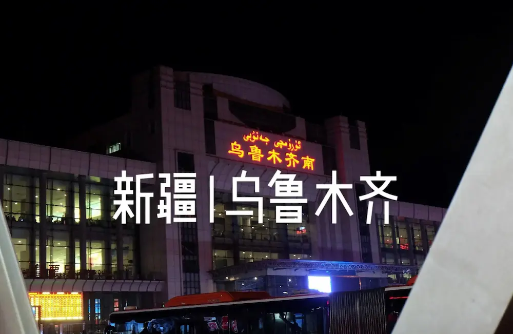
Day one, take the Xinjiang airports shuttle or the train vs flight overnight train, settle into a Toutunhe hotel near Bayi Steel and photograph the Weihuliang dispatch hall at dusk. Day two, take the morning G30 to Dabancheng for the Wind Farm No.1 foundations, then continue east on G216 to Wucaiwan. Day three, drive the G217 north through Kuytun crossroads townKuytun to Dushanzi and walk the refinery viewpoints and the canyon rim. Day four, drive the Duku Highway south to Shihezi on footShihezi and stop at the Bayi farm memorial. Day five, return to Urumqi on the G312, pause at the railway station, and finish at the Xinjiang MuseumXinjiang Museum for the petroleum and rare-metal galleries. Refuel often; the fuel station rulesself-drive refuelling rules are strict.
Practical tips that matter at industrial sites
Carry photo ID; refineries and rail yards will ask. Avoid shorts and sandals inside any active industrial park, and wear a mask near a working conveyor. Do not touch anything you do not understand: rail-track debris, refinery piping and old pipeline that surface in the Karamay brownfield are not for sale. Our photography etiquette piece applies: ask first, accept the no. Do not stand on a railway platform edge to shoot the load.
FAQ
Is the Karamay oil field still producing?
Yes. Xinjiang Oilfield Company was the first in western China to break 10 million tonnes a year in 2002 and is now targeting growth from the Mahu field, whose theory won the National Science and Technology Progress first prize in 2018.
Can you visit the Koktokay No.3 pit?
The viewing deck and museum hall are open with a paid ticket; you cannot walk down into the pit.
Are drones allowed at Dushanzi or Karamay?
No. Both cities are publicised no-drone zones, the air corridor is controlled, and refinery security will not let you launch from any public road within 5 km of the fenceline.
Disclaimer
This article draws on nine trips to Xinjiang between 2017 and 2026 and on figures re-checked in August 2026 against CNPC, the Xinjiang Department of Industry and Information Technology and operator releases. Heritage lists, fencing, mine status, rail timetables and drone rules change without notice. Treat it as planning, confirm locally on arrival, and note that nothing here is safety, legal or investment advice.
About the author
Karl Huang edits XinjiangAttractions.com and has been chasing Xinjiang’s oil towns and rail yards since 2017. His route notes live in the self-drive logistics guide, his archive in the photography etiquette piece, and his bad ideas in the camping page.