Published: August 27, 2026 | Author: Karl Huang
Most travel blogs file the Kuitun River Grand Canyon under “Xinjiang canyons you might skip,” and I almost did too. Then a truck driver at a Kuytun fuel stop told me the rim was a short run from the expressway and that the light at 7 p.m. was worth the detour. He was right. This is not a ticketed park with railings and a souvenir stall. It is a raw red gash in the earth, cut by the Kuitun River, with the G3014 Kuitun–Tacheng expressway running a few hundred metres from the edge. What follows is from two visits, one wrong turn onto a closed service road, and a lot of standing very still near a crumbling cliff.
Why you can rely on this write-up
I run a Xinjiang travel desk and have sent maybe forty self-drive groups past Kuytun in the last three seasons. The timings, distances, and warnings below come from those trips and from the local drivers we work with, not from a brochure. Roads and access change, so read any number here as a 2026 baseline and confirm on the ground.
Kuitun River Grand Canyon at a glance
| Detail | What to know |
|---|---|
| Where | Shawan County, along the lower Kuitun River, about 50–70 km south of Kuytun city |
| What it is | An eroded red sandstone and conglomerate canyon, roughly 100 m deep at the rim in places |
| Access | Free, undeveloped roadside viewpoint; no gate, no ticket, no facilities |
| Best light | Late afternoon to sunset (roughly 18:00–20:30 in summer) |
| Time needed | 45 minutes to 2 hours, depending on how long you linger at the edge |
| Nearest base | Kuytun city, the rail and expressway crossroads of northern Xinjiang |
How the canyon formed — and why it sits by the expressway
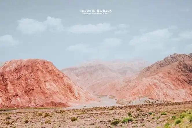
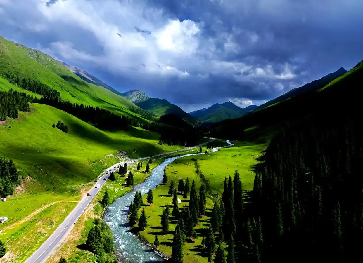
The Kuitun River drains the northern face of the Tianshan and has spent a few million years chewing down through soft red Tertiary beds. Those beds are mudstone and conglomerate, easy to cut, which is why the walls drop nearly straight and the floor stays narrow. The G3014 was built along the same old river terrace line, so the road and the gorge run almost parallel for a stretch. You can be doing 120 km/h one minute and standing at the rim the next, which is exactly the odd feeling that makes the place worth the stop.
If you have already read about the Anjihai Grand Canyon, you are not lost: the two are neighbours and often mixed up. Anjihai is carved by a different river and has its own viewing setup a short drive east. I cover both because travellers ask which to pick; my short answer is that Kuitun River is the quicker, quieter pull-off if you are already on the G3014, while Anjihai draws a slightly bigger crowd for its wider panorama.
Our first stop at the roadside rim
We came in on a June evening after a long day on the road. The turnoff is unmarked in the way that matters: a graded dirt track leading west from the expressway frontage road, then a short run to a rise where the ground simply ends. There is no fence. The red wall falls away maybe eighty metres, and the river at the bottom is a thin silver thread you can barely hear over the wind.
What I did not expect was the colour shift through the hour. At 18:00 the rock was a flat brick red. By 19:30 it had gone deep orange on the sunlit faces and cold purple in the shade. We stayed until the light failed and the mosquitoes found us, then drove back to Kuytun for laghman. No guide, no fee, no queue. That is the whole appeal.
Getting there from Kuytun
Kuytun is the obvious base, and our Kuytun travel guide explains why: it sits where the G30 Lianyungang–Khorgos expressway meets the G3014 and the railway, so almost every northbound or westbound driver passes through. From the city centre, take the G3014 south toward Tacheng and watch for the frontage-road exit near Shawan. The rim track is another 15–25 minutes depending on which pull-off you aim for.
A regular car handles the graded track in dry weather, but after rain it turns to slick clay and I have seen sedans spin their wheels halfway up. If you are not confident, park at the top of the hard road and walk the last few hundred metres. The Self-Drive Xinjiang guide has the wider notes on tyres, fuel, and which side roads to avoid when the weather turns.
The viewpoint: what you actually see
There is no platform, no signboard, and no “you are here” map. The viewing happens wherever you choose to stop on the rim, which means you set your own frame. Most people park at the highest clear rise and look back northeast toward where the river has cut a second, smaller notch. On a clear day you can trace the canyon line for several kilometres before it bends out of sight.
Bring a long lens if you photograph. The scale is hard to read with a phone because there is nothing at the edge to compare against, and the first shots always look smaller than the place feels.
The best time to stand at the edge
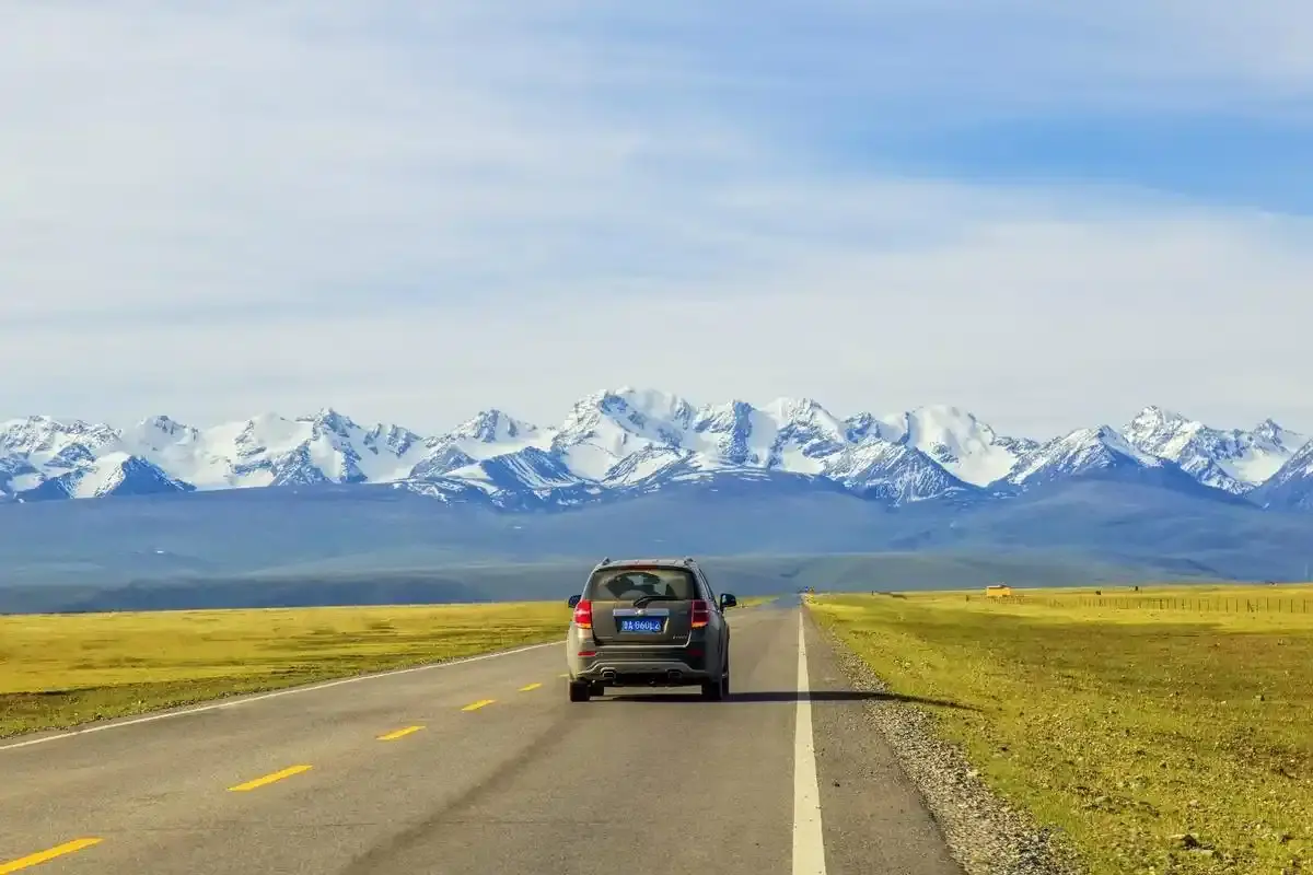
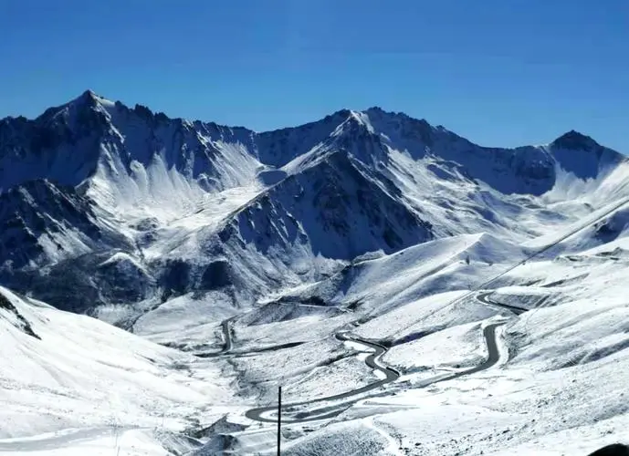
Late spring through early autumn is the window. May and June give green contrast against the red and the fewest crowds. July and August are hot but the long daylight means you can arrive late and still have an hour of good light. September cools off and the midday glare softens. I would skip winter: the rim gets a skin of ice, the track is mud, and the short days barely light the walls. If you are planning a bigger loop, check the mountain pass closure dates before you commit, because a closed pass can reroute your whole northern trip.
Why you should not walk down into it
This is the part I want to be blunt about. The rim is unfenced and the rock under your feet is weathered conglomerate that crumbles without warning. Every local I asked said the same thing: look from the top, do not climb down. There is no rescue station, no mobile signal is guaranteed at the bottom, and the river is cold and fast even in summer. People have been hurt treating it like a staircase. Treat the edge like a cliff, because that is what it is.
The Dushanzi Grand Canyon, an hour or so south, has a built walkway if you want the managed version of the same geology with railings and a car park. Kuitun River is the wild one, and the trade-off is that you are responsible for your own footing.
Pairing it with a northern Xinjiang drive
The canyon fits naturally into a Duku Highway run. The Duku’s northern end sits near Dushanzi, and our Duku Highway driving guide shows how to time the open months and the permit checks. A common plan is to start in Kuytun, stop at the rim on the way south, then climb onto Duku for the high Tianshan section the next morning. It also works as a half-day add-on if you are basing in Kuytun and want something other than another museum or bazaar.
Practical tips
- Go late. The light is better and the expressway traffic has thinned.
- Wear proper shoes. Trainers slide on the clay; I wore trail runners and was glad.
- Carry water and a jacket. There is no shop, and the wind at the rim gets cold fast.
- Keep children and drones in check. The edge is real and the signal is patchy.
- Tell someone your plan. A roadside canyon with no staff is the kind of place where a flat tyre becomes a problem if nobody knows where you went.
- Leave no trace. The lack of facilities means whatever you bring in stays your responsibility.
A half-day itinerary from Kuytun
16:00 Leave Kuytun on the G3014 south; fill the tank before you go, as the side roads have no fuel.
16:45 Turn off at the Shawan frontage road and follow the graded track to the rim rise.
17:15 Walk the edge, pick your viewing spot, and set up for the light.
18:30 Shoot the colour change as the sun drops behind the Tianshan.
19:30 Head back to the hard road before dark; drive to Kuytun for dinner.
20:30 Laghman and kebabs in the city, then an early night before the next drive.
FAQ
Is the Kuitun River Grand Canyon free to visit?
Yes. There is no gate, ticket, or official entrance. You park at the rim and walk to the edge on your own.
Can I reach it by bus or train?
Not directly. Public transport gets you to Kuytun, but the last stretch needs a car or a hired driver. That is the main reason it stays quiet.
How is it different from Anjihai?
They are two separate rivers cutting two separate gorges a short distance apart. Kuitun River is the faster, less developed stop right off the G3014; Anjihai has the larger viewing area and the bigger crowd.
Is it safe for families?
The drive is fine. The rim is not a playground: keep everyone well back from the edge and do not let kids run near the lip.
Disclaimer
This article is based on personal visits and was accurate to the best of our knowledge as of 2026. Access, road conditions, and safety situations change, and details may differ by season or after publication. Confirm transport, weather, and local rules with official sources before you travel, respect private land and local customs, and make your own judgement at an unmanaged viewpoint with no staff on site.
About the author
Karl Huang is a travel writer and operator who has spent the last several years documenting Xinjiang for foreign visitors. He focuses on practical, first-hand guidance built with local drivers and partners across the region, and can be reached through the XinjiangAttractions editorial desk.