Published: August 31, 2026 | Author: Karl Huang
Most people reach Urumqi from the north by flying, or by following the busy G30 expressway down from Hami. We wanted the slow version. So one cold April morning we pointed a rented 4×4 north out of the capital and ran the G216 Xinjiang corridor in reverse — Altay down to Urumqi — across the open belly of the Junggar Basin. This is the “back way” people mention but rarely drive: a road that spends most of its length away from any city, crossing a cold desert where some days the only traffic is a truck and a long train of electricity pylons.
Why trust a write-up like this? I have driven in Xinjiang six times since 2017, and the G216 northern section twice. The notes below come from those trips — what the road is actually like, where the fuel runs out, and which detours are worth the extra hours. I have kept the official names and distances honest and flagged the bits that change year to year.
Driving the G216 Xinjiang: the route at a glance
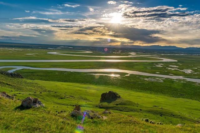
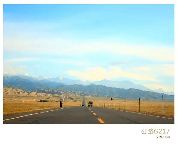
The G216 is a north–south national highway. The stretch that matters for a “back way” trip is the roughly 650 km from Altay City south to Urumqi. It is not one landscape. It begins in taiga and river valleys near the Altai mountains, drops onto the grey-green steppe of the northern Junggar, then commits fully to desert: long straight pavement crossing the Gurbantunggut, with the colored hills at Wucaiwan breaking the monotony about two-thirds of the way down. From Wucaiwan the road bends toward Fukang and meets the G30 corridor into Urumqi.
If you only remember one thing: this is a distance road, not a scenic switchback road. The drama is in the emptiness, not the corners.
| Section | Approx. distance | Terrain | Notes |
|---|---|---|---|
| Altay City → Fuhai | ~110 km | River valley, farmland | Paved; fill fuel here |
| Fuhai → Kalamaili fence | ~180 km | Open steppe, reserve | Watch for wildlife signs |
| Kalamaili → Wucaiwan | ~200 km | Desert highway | Sparse services; slow trucks |
| Wucaiwan → Fukang | ~100 km | Colored hills, then oasis | Hot-spring stop possible |
| Fukang → Urumqi | ~60 km | Expressway | Merge onto G30 |
These figures are what our odometer and a paper map showed; signage and re-routing can shift them, so treat them as a planning baseline rather than gospel.
Why we drove the G216 instead of the obvious route
We had already worked through the self-drive Xinjiang guide loop through the Tianshan and wanted something quieter. The G216 sells a different promise: you can drive for an hour and not pass a single settlement. For a photographer, or anyone who simply likes space, that is the point. On our second run we met exactly three other cars between Fuhai and Wucaiwan — and one of them was a police patrol.
Altay to Fuhai: leaving the north behind
Altay City is the natural start if you are coming down from the north, and it is worth a night on its own — our Altay City notes cover why. The first run south to Fuhai (Burultokay) follows the Irtysh valley and stays genuinely green for the first hour. Fuhai is the last proper town with a real supermarket and a fuel station you would trust before the long middle. We learned this the hard way on trip one, when we rolled into Fuhai on the low-fuel light and found the smaller villages between here and the desert had pumps but no guaranteed diesel for a foreign-plated rental.
The Kalamaili stretch: wild horses and long straight lines
South of Fuhai the road enters the Kalamaili Nature Reserve, and this was the part of the drive we talk about most. The reserve fences run parallel to the highway for long stretches, and if you time it for early morning you may see Kalamaili Nature Reserve takhi — the wild Przewalski’s horses — grazing just beyond the wire. We pulled over once at a marked viewing pull-off and watched a small band for twenty minutes. There is no fee and no guardrail show; just you, the wind, and animals that were reintroduced here after vanishing from the wild.
Practical note: the reserve has seasonal closure rules and speed limits that change. Obey them. The fines are real and the camera network on this corridor is not a rumor.
Wucaiwan and the colored hills
After the desert goes on longer than feels reasonable, the ground changes color. Wucaiwan (“Five-Colored Bay”) is a field of eroded mud hills in reds, yellows and purples — best in the low slant light of late afternoon. There is a hot-spring hotel complex nearby (the “old sea” springs) if you want to break the drive, and a small service area for fuel and a noodle stop. We treated Wucaiwan as the mental “halfway” mark even though it sits closer to two-thirds down, because the landscape finally gives you something to point at.
Fuel, checkpoints and the practical stuff nobody tells you
This is the section I wish someone had handed me before trip one. Fuel: fill in Fuhai, then again at Wucaiwan. Do not assume the lonely pump stations between them are open. Cash: carry some. Our card worked in the cities but a roadside noodle stop near Wucaiwan was cash only in 2023. Maps: download offline. Signal drops to nothing for long stretches, and “no signal” on a desert highway is different from “no signal” in a city — there is no building to walk behind.
Checkpoints: Xinjiang has them, and the G216 north has several. Have your passport and the rental papers ready; the stops are routine and polite but they will happen, often twice in a stretch where you least expect them. Our renting a car in Xinjiang piece covers the paperwork side in more detail, and our fuel-station guide lists the spacing rules we follow.
When to drive the G216
Late April to early June, and September to mid-October, are the windows I would pick. Summer is brutal — the basin bakes, and the desert section offers no shade or relief. Winter is possible with a properly equipped vehicle and experience; we did one February leg from Fukang to Urumqi in a snowstorm and would not repeat it casually. Spring brings wind, and the Junggar Basin can throw dust storms that cut visibility to nothing. Check the forecast the morning you leave; the road does not forgive bravado.
Where to sleep along the way
Real accommodation on the corridor itself is thin. Fuhai has decent hotels, Wucaiwan has the hot-spring resort, and Fukang has a full range as a Tianchi base town. Most drivers either do it in one long day (Altay to Urumqi, about 9 hours with stops) or split it: night one in Fuhai or at the Wucaiwan springs, night two in Urumqi. We once tried to “find somewhere” between Kalamaili and Wucaiwan and ended up sleeping in the car at a service area — doable, but not something I would plan around.
What to eat on a northern Xinjiang drive
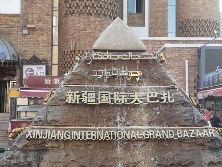
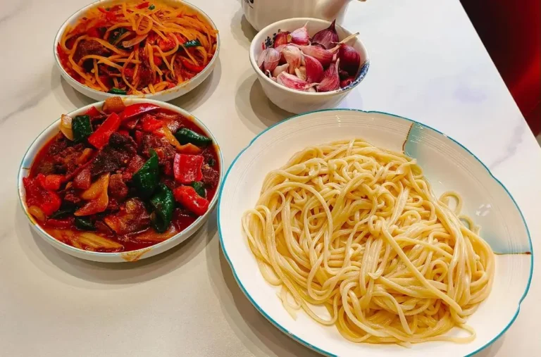
The food gets better the moment you leave the desert. Fuhai and the northern towns serve river fish from the Irtysh and the usual laghman and pilaf. At Wucaiwan the service-area food is edible but pricey; we pack water and snacks from Fuhai and treat the hot-spring restaurant as the one proper meal of the middle day. In Urumqi you land in the full spread — the International Bazaar alone is a full evening.
A realistic 2-day sample itinerary
Day 1: Altay City → Fuhai (fuel plus a late lunch) → Kalamaili pull-off for horses → Wucaiwan, sleep at the springs. About 430 km, easy with light stops. Day 2: Wucaiwan colored hills at sunrise → Fukang (a Tianchi detour if you have the energy) → merge onto the G30 → Urumqi by late afternoon. About 220 km of driving plus whatever Tianchi adds. This split keeps any single day under six hours of wheel time, which on a road this empty is the right call.
G216 vs the Duku Highway
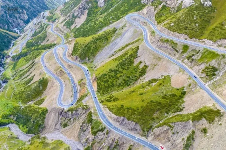
People ask which to drive. They are different trips. The Duku is the famous mountain road — switchbacks, snow walls, Tianshan drama — open only part of the year. The G216 north is the quiet desert run: fewer views per kilometer, more silence overall. If you want a postcard, drive the Duku. If you want to feel the size of the place, drive the G216. We have done both and keep coming back to the G216 precisely because nobody else is on it.
Frequently asked questions
Can a foreign tourist drive the G216? Yes, with a legally rented car and the right papers; the same rules apply as anywhere in the region. See the car-rental piece linked above.
Is it safe to drive alone? The road is safe in the ordinary sense, but it is remote. Tell someone your plan, carry water, and do not skip the fuel stops. A breakdown out here is a long wait.
How long does Altay to Urumqi take? One long day (8–10 hours) or, better, two relaxed days.
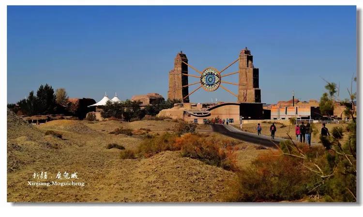
Do I need a 4×4? Not strictly — the pavement is good — but a higher-clearance car helps if you add the Karamay Ghost City detour or any side track.
Disclaimer
This account is based on personal trips taken between 2017 and 2024 and on publicly available road information at the time of writing. Highway numbering, checkpoint positions, fuel-station hours and reserve access rules change. Always confirm current conditions with your rental company and local sources before you set off, and follow all posted signs and seasonal closures. Distances are approximate. Nothing here is official advice.
About the author
Karl Huang is a travel writer who has covered Xinjiang by road since 2017. He focuses on practical, first-hand route information for independent travellers and has contributed guides to Xinjiang Attractions across the region’s highways, basins and border towns.