Published: 04 September 2026 | Author: Karl Huang, who has driven most of Xinjiang’s long-distance highways since 2017
Somewhere past the second fuel stop of any long drive out here, you will notice the water. A grey-green sheet appears in a fold of brown hills, held back by a pale stepped slope of concrete, and it is gone before the camera comes out. Xinjiang reservoirs almost never make an itinerary, which is odd, because each one decides whether the oasis forty kilometres downstream eats properly this year. This guide is the product of those pull-overs: which water stops are worth ten minutes, and which deserve a detour.
Why you can trust this page
Karl Huang has driven the Duku, G314, G315 and the desert crossing across nine visits since 2017, and every figure below was re-checked against Chinese government and engineering sources rather than travel blogs: the Ministry of Water Resources, Xinjiang’s development and reform commission, and the project operators themselves. Where access is uncertain or closed, we say so plainly instead of dressing it up. Nothing here is sponsored.
Quick reference: Xinjiang reservoirs and dams at a glance
| Site | River and county | Dam height | Storage | Traveller reality |
|---|---|---|---|---|
| Aertash (Artash) | Yarkand River, Yarkand/Akto | 164.8 m | 2.249 bn m³ | Viewed from valley roads; no dam-top access |
| Jilintai I | Kash River, Nilka (Ili) | 157 m | 2.53 bn m³ | Lake visible from the canyon road; summer best |
| Kizil (Heizi) | Muzat River, Baicheng | 47.6 m | 725 m m³ | Easy add-on beside the Kizil Caves |
| Kenswat | Manas River, south of Shihezi | 129.4 m | 188 m m³ | Emerald lake with pull-offs on the mountain road |
| Moguhu | Shihezi farmland edge | embankment | 180 m m³ | Open shore roads; birdwatching from October |
| Ulastai | Ulastai River, Hami | 71.7 m | 4.8 m m³ | Small and quiet; a twenty-minute stop at most |
Reading the water: reservoir or natural lake?
The first skill of roadside water-watching is telling the two apart at speed. A natural alpine lake sits in a basin the ice or the earth carved, so its shoreline is soft and its level hardly moves. Turpan’s karez wellsA reservoir announces itself: an intake tower on the bank, a gauge post, a sloping face of concrete panels, and a pale bathtub ring of exposed ground when the level drops. Water colour helps too. Turquoise comes from glacier flour suspended in the water, typical of ice-fed natural lakes; working reservoirs often look tea-green, thick with silt the rivers grind off the Tianshan every summer. Once you have called three correctly from a moving car, you will find it hard to stop.
The pull-over that started this guide
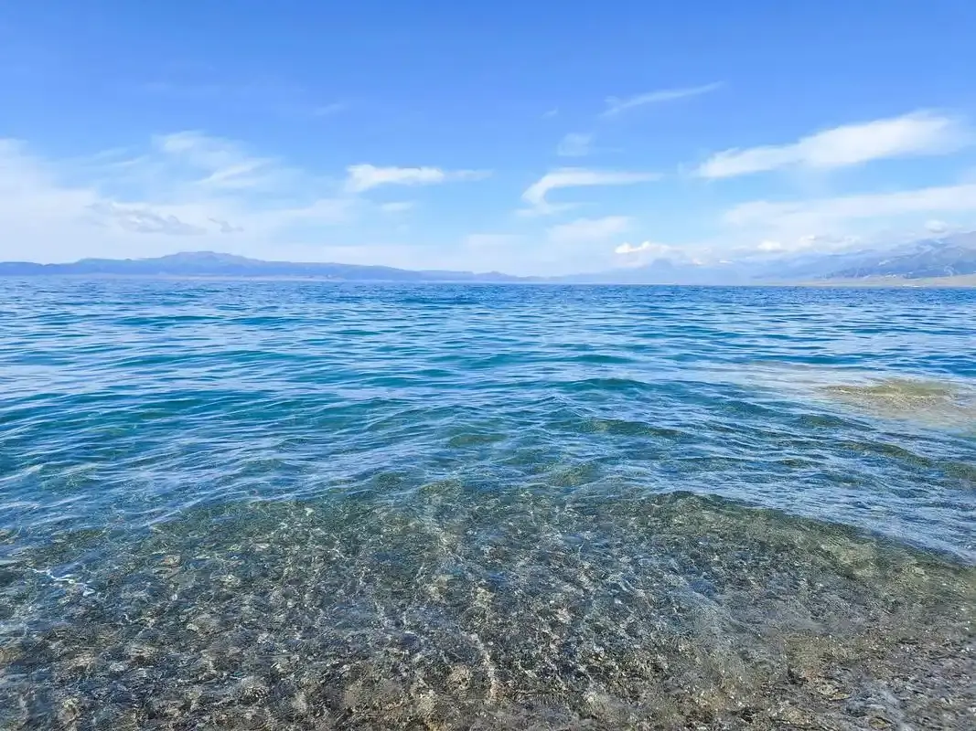
In June 2023 we left Shihezi on footShihezi aiming for the Nilka, the honey and black bee valleyhoney country in Nilka, took a wrong turn south instead of east, and ended up climbing the Manas River valley road. Twenty minutes of switchbacks later a sheet of green water appeared below us with no signboard to announce it. That was Kenswat, a 129-metre rockfill dam finished in 2014 that irrigates over three million mu downstream. The name is Mongolian for where waters gather, and that is what the lake looks like: the river enters a narrow valley and simply stops. We stayed forty minutes. No ticket booth, one water-station keeper, two other cars all morning.
Five water stops worth planning around
Aertash, the Yarkand River’s giant
Aertash is the one people in the business call Xinjiang’s Three Gorges. Finished in 2021 after roughly a decade of work, its 164.8-metre face-rockfill dam stands on nearly a hundred metres of river gravel, a combination considered world-class difficult, and its turbines now carry much of southern Xinjiang’s power load. The reservoir sits in the Karakoram foothills about 120 km upriver from Yarkant (Shache)Yarkant (Shache), along the old Taheman road toward Tarim Desert HighwayTashkurgan. You view it from the valley side; the dam itself is a security zone. Even from a distance, the size registers: this structure ended a thousand years of the Yarkand’s spring floods and now guarantees irrigation for a basin of over two million people.
Jilintai I, the deepest cup in the Ili valley
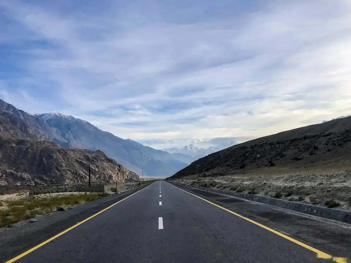
Most visitors to Nilka, the honey and black bee valleyNilka come for lavender honey and black bees and never look up the Kash River canyon. They should. Jilintai I stores 2.53 billion cubic metres behind a 157-metre face, which by volume makes it the largest reservoir in Xinjiang, bigger even than Aertash. The lake winds for kilometres through grey canyon walls, and in July the water goes a deep blue against the dry slopes. The valley road east of Nilka county town crosses side channels where stopping is legal. Go early: midsummer afternoons flatten the canyon light.
Kizil, the dam beside the caves
The easiest water stop in the south sits on the road between Kuqa and Baicheng. The Kizil reservoir, started in 1985 and later reinforced, holds back the Muzat River a few kilometres from the Kizil CavesKizil Caves, so most travellers combine the two: caves in the morning, lakeshore after lunch. It was the first large dam in Xinjiang built across an active fault zone, which explains the stocky profile of its clay-cored embankment. A guard waved us away from the management gate, and the shore viewpoint nearby was plenty: herons in the shallows, red scree hills, the basin smelling faintly of fish.
Moguhu, the reservoir that became a bird lake
North of the Tianshan, on the flat farm belt west of Shihezi, sits the region’s best bird story. Moguhu was long known as a problem reservoir, polluted to the point where fish died off; after a cleanup that ran through the early 2020s the water quality climbed back, and by 2025 observers counted around 129 bird species using it, from cormorants to whooper swans. The shoreline roads are farm tracks, passable in a normal sedan when dry. Come in late October or November and the autumn drawdown exposes wide mudflats; we have watched swans land at dusk there while cotton countrycotton lorries rattled past on the county road.
Ulastai, the small one worth twenty minutes
The month-by-month weather guidesearch-friendly name Ulastai reservoir belongs to a modest regulating dam 115 km from Hami city, built in the early 2010s to settle herding families and irrigate fodder fields along the Ulastai River. Its 71.7-metre concrete face is tall for such a small catchment, wedged into a rocky gully at the mountain front. There is nothing to do there, which is the point: a clean example of how many small dams hold the herding economy together. Watch the spelling, too. Xinjiang has several Ulastai places, including an arch dam near Tacheng and a hydrological station on the Kash River, and maps mix them freely.
Can you actually visit a dam in Xinjiang?
Manage expectations before you plan a dam day. The big structures are working security zones: expect a boom gate, a guard, and a firm no to walking the crest. What you can do is see them from public roads, shore viewpoints and bridges, and that is genuinely enough at Aertash and Jilintai, where the setting does the work. Drones are a hard no. China’s 2024 interim drone rules put major water facilities, power plants and drinking-water sources in controlled airspace, so launching over a dam without approval invites trouble; register the aircraft before your trip and keep it folded at reservoirs. Photographing the water from a public road is fine. Pointing a camera at guard posts and gates is not, and guards will tell you so.
When the water is high, low or frozen
Timing changes everything at a reservoir, more than at a lake. Through April and May the irrigation season drains them: Xinjiang’s fields drink in spring exactly when the rivers are at their thinnest, so levels sag and the bathtub ring widens. June to September is flood season, when the same reservoirs fill and sometimes spill; a spilling spillway throwing spray is the most dramatic thing these sites ever do, and Kenswat in a wet August is a small spectacle. Autumn brings the drawdown flats that waterbirds love, and by December most northern reservoirs are sheeted in ice with the intake towers standing in white silence. Our month-by-month weather guidemonth-by-month weather guide lines up with reservoir levels almost one to one.
Why the oasis you sleep in owes these dams
It is worth knowing what the water is actually for, because it explains half the landscape. Xinjiang farming is irrigation farming: without storage there is no cotton in Manas CountyManas County, no melons in Jiashi, no rice in cotton countrythe Aksu oases. A reservoir turns a river that floods in July and starves in April into a tap that runs when the crop needs it. Karez channels and hillside snowponds did this job for centuries, and you can still walk the old systems at Turpan, but the modern oasis runs on rockfill and concrete. When you taste sweet cotton countryHami melons in September, some of that sugar was decided by a drawdown schedule set the previous winter.
A one-day water loop out of Shihezi
If you want all of this in a single day, the northern loop is the cleanest. Leave Shihezi after breakfast with a full tank; our fuel station rulesfuel station rules page covers the refuelling formalities for self-drivers. Drive south up the Manas valley to the Kenswat pull-offs, an hour and a half with photo stops, then return north and cut across to Moguhu’s west shore tracks for the wetland birds. Finish back in the city in time for the night market; Shihezi on footour walking guide covers where to eat. Total distance is under 200 km, all of it sealed, and every stop is free. In late October this route also lines up with the cotton countryharvest, so you get white fields on the way between two colours of water.
Practical tips for roadside water stops
Never stop on a highway shoulder to shoot a reservoir; wait for a signed lay-by or an exit, police here are strict about it for good reason. Carry water and snacks, because water-station roads have no shops. Ask before entering any fenced area, even if the gate stands open. A polarising filter earns its place on these stops, cutting glare off wide water. And keep distances honest: a 200 mm shot of Jilintai from the far valley side beats a risky scramble down a scree slope every time.
FAQ
What is the largest reservoir in Xinjiang?
By storage it is Jilintai I on the Kash River, holding about 2.53 billion cubic metres. By dam height and overall project scale it is Aertash on the Yarkand River, the 164.8-metre structure completed in 2021 that locals call Xinjiang’s Three Gorges.
Is it legal to photograph dams in Xinjiang?
Photographing from public roads is generally fine, and we have never been stopped for it. What is not allowed: launching drones over major water facilities without approval, photographing guard posts, gates or checkpoints, and entering fenced operational areas. Staff will warn you before they enforce.
Do reservoirs make good sunset stops?
The western shores do, because most big reservoirs sit in north-south valleys so the water faces the low sun. Kenswat’s pull-offs and Moguhu’s shore tracks both work well an hour before dark, when the wind usually drops and the water goes still.
Disclaimer
This article draws on personal travel in Xinjiang between 2017 and 2026 and on published figures from the Ministry of Water Resources, the Xinjiang development and reform commission, Xinhua and operator announcements. Access rules at water facilities change without notice, water levels shift with each year’s weather, and drone regulations continue to evolve. Treat all of it as planning information, confirm locally on arrival, and note that nothing here is safety or legal advice.
About the author
Karl Huang edits XinjiangAttractions.com and has been travelling and driving in Xinjiang since 2017. He rates every road day by two things: how many water stops he was glad he made, and whether the last one came with a melon stand. His longer route notes live in our self-drive Xinjiang planning guideself-drive planning guide.