Muji Town in Pishan: Eleven Kilometres of G315 Through the Dunes
Muji Town sits on Pishan’s eastern edge where 11 km of G315 cuts through Taklamakan dunes. Peach belt, two reservoirs and a bazaar for 30,000 residents.
A Website Introducing Top Tourist Attractions in Xinjiang

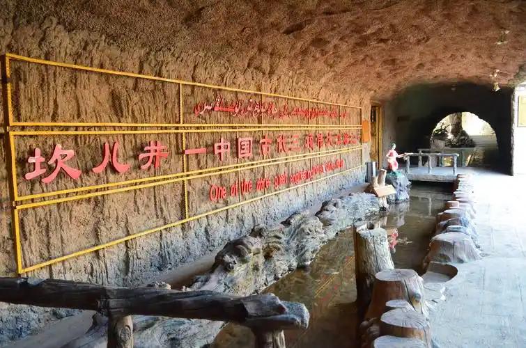
Muji Town sits on Pishan’s eastern edge where 11 km of G315 cuts through Taklamakan dunes. Peach belt, two reservoirs and a bazaar for 30,000 residents.

Jiangbulake Xinjiang means source of the holy water. First-hand guide to the Han fort, mystery slope, boardwalks, 2026 tickets and the new Qitai airport.
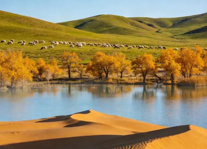
Xayar Awat Xinjiang frame the Tarim cradle to canopy: Xiaojiak confluence, 470-mu poplar, cotton fields, rice upstream. River-first Aksu-region guide 2026.
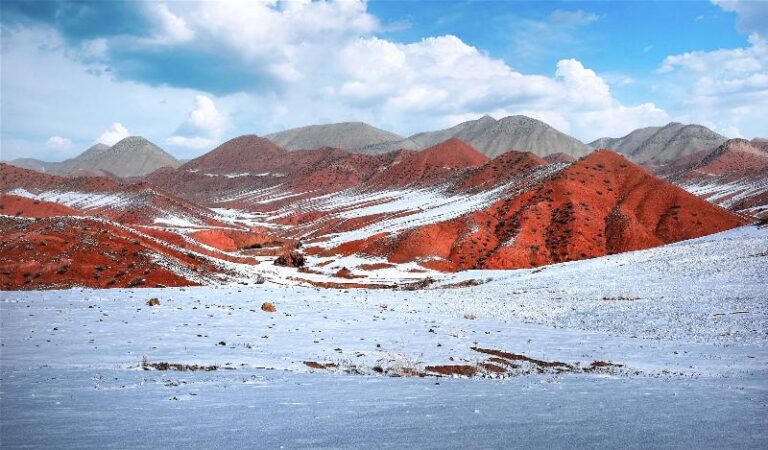
Hutubi Xinjiang is a 258 km county that runs from Tianshan ice to Gurbantunggut dune. Milk, saplings and gas under the wheat, and nine reasons to stop.
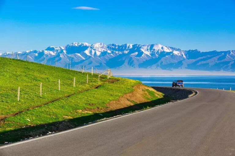
Pishan Xinjiang travel guide: silk workshops at Koshtagh, Turdi Aghi Manor and Karakoram foothills from Guma. Includes food, transport and a two-day plan.
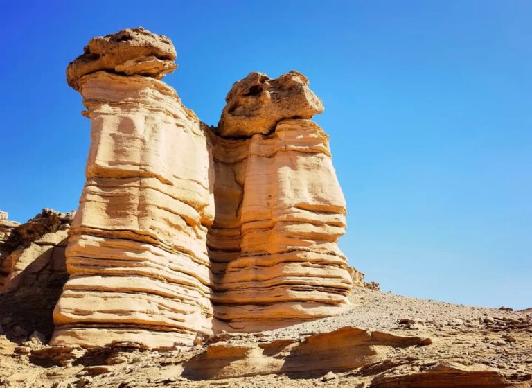
Qiemo Xinjiang sits two kilometres from the Taklamakan’s dunes. How the Qarqan River keeps the oasis alive, and how to visit China’s second-largest county.
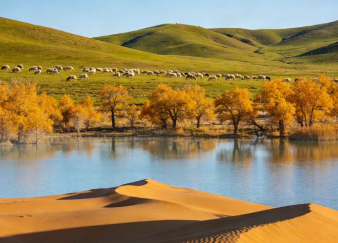
Luntai Xinjiang is where the Tarim Desert Highway starts. A working oil county with a superb Han-era museum, white apricots and the Taklamakan next door.
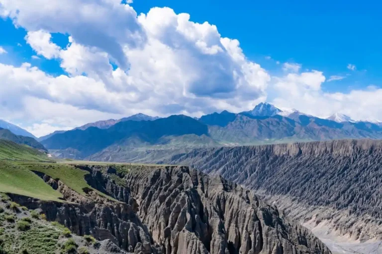
Why Maralbexi Xinjiang is more than a fuel stop: how the Yarkand bends north at Bachu, Xiaohaizi reservoir, Tangwangcheng ruins, trains and honest tips.
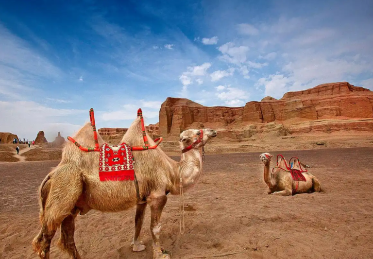
Yengisar Xinjiang is more than a knife town. Apricot orchards, tightrope walkers, pottery kilns and a railway shape this oasis county south of Kashgar.

Xinyuan county Xinjiang is the county behind Nalati Grassland. Kunes River story, the 2026 airport closure, county seat vs Nalati town, food, seasons.