Published: August 4, 2026 | Author: Liam Foster, Silk Road archaeology correspondent | Reviewed for accuracy prior to publication
Almost everything worth understanding about Xinjiang Silk Road history comes down to one geographic fact: the Taklamakan Desert is roughly the size of Germany and nobody crosses it. Caravans went around it, along a thin chain of oases fed by meltwater off the Tianshan and Kunlun ranges. Those oases became kingdoms, the kingdoms grew rich taxing what passed through, and when the water or the trade moved, they were abandoned to the sand. This guide explains that pattern and points you at the places where you can still stand in it.
Quick Reference: The Routes and Eras
| Term | What it actually means |
|---|---|
| Silk Road | A 19th-century German coinage (Seidenstraße), not a historical name. It describes a shifting network of caravan routes, not a road. |
| Northern route | Along the Tianshan foothills: Hami, Turpan, Yanqi, Kuqa, Aksu, Kashgar |
| Southern route | Along the Kunlun foothills: Dunhuang, Miran, Qiemo, Niya, Hotan, Yarkand, Kashgar |
| Steppe route | North of the Tianshan through the Ili Valley and Dzungaria, favoured in later periods |
| Peak traffic | Han dynasty opening (2nd c. BCE) through the Tang (7th-9th c. CE) |
| Decline | Gradual from the 9th century; sea routes dominant by the 15th |
| Main cargo | Silk, paper, lacquer eastward; horses, glass, wool, precious stones westward; ideas in both directions |
The Geography Came First
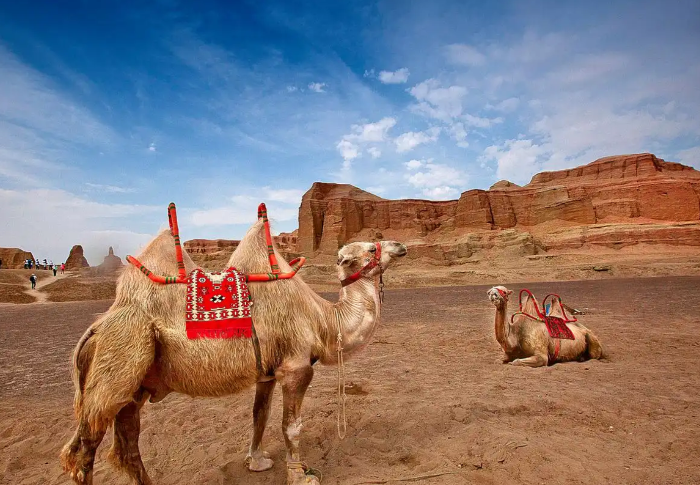
The Tarim Basin is ringed by mountains and filled with sand. Rivers run off the ranges and die in the desert, and where they die, people farm. Each oasis could support a settlement but not an empire, which is why the region held dozens of small kingdoms rather than one large state. A caravan leaving Dunhuang chose north or south around the basin, made a series of ten- to fifteen-day hops between water sources, and reconverged at Kashgar before crossing the passes toward Samarkand or over the Karakoram to India.
This explains the two things travellers notice most. First, the ruins are always at the desert edge, often kilometres from any modern town, because the water line moved. Second, the cultural mix is unusually deep: Indo-European Tocharian speakers, Iranian Sogdian merchants, Chinese garrisons, Turkic groups arriving from the north, all in the same string of towns over the same thousand years.
What Actually Moved Along the Routes
Silk was the headline commodity but a small share of the freight. Bulk goods were more mundane: woollens, hides, dried fruit, jade, horses, glassware, metals. The genuinely consequential exports were not objects at all.
- Buddhism travelled east from Gandhara through the Tarim kingdoms and into China, arriving in Kuqa and Khotan centuries before it was established in the Chinese heartland. Kumārajīva, born in Kuqa around 344 CE, became the most influential translator of Buddhist texts into Chinese.
- Paper travelled west. Chinese papermaking reached Samarkand in the 8th century and Europe several centuries later.
- Manichaeism, Nestorian Christianity, Zoroastrianism and later Islam all used the same corridors. Turpan documents survive in more than twenty scripts.
- Crops: grapes, alfalfa, walnuts and pomegranates moved east; peaches and apricots moved west.
Five Periods Worth Knowing
Han (2nd century BCE – 3rd century CE): the opening
Zhang Qian’s mission west, begun in 138 BCE, was intelligence gathering against the Xiongnu rather than commerce, but his reports triggered sustained Han interest. Garrisons, postal relays and the Protectorate of the Western Regions followed. Loulan and Niya belong to this world, and both were later swallowed by the desert with their timber and documents largely intact.
Kingdoms and monasteries (3rd – 6th century)
Central Chinese control lapsed and the oasis states ran their own affairs, growing wealthy and intensely religious. This is when the great cave complexes were begun: Kizil near Kuqa, the earliest major Buddhist painting in China, and the first phases at Bezeklik outside Turpan. Miran produced winged figures that would not look out of place in a Roman fresco, painted by an artist who signed himself Tita.
Tang (7th – 9th century): the high point
The Tang re-established control and the network operated at maximum volume. Sogdian merchant colonies ran the commercial infrastructure. Beiting north of the Tianshan and Gaochang in the Turpan basin were major administrative centres. The monk Xuanzang passed through on his way to India and left a detailed account of the kingdoms he found.
Turkic and Islamic transition (9th – 14th century)
Uyghur groups moved into the Tarim and Turpan basins after 840 and gradually settled. The Karakhanids adopted Islam in the 10th century and the religious map shifted westward to eastward over roughly four hundred years. Yarkand and Kashgar became the centres of gravity. Buddhist sites were abandoned, repurposed, or defaced.
Decline and rediscovery (15th century onward)
Maritime trade undercut the caravan economy and the oases turned inward. The region returned to global attention around 1900, when Sven Hedin, Aurel Stein, Albert von Le Coq, Paul Pelliot and Ōtani Kōzui competed to excavate and remove what the sand had preserved. Their expeditions produced the scholarship the field still rests on and stripped the sites of most portable material, a legacy that remains contested.
The Technology That Made It Possible
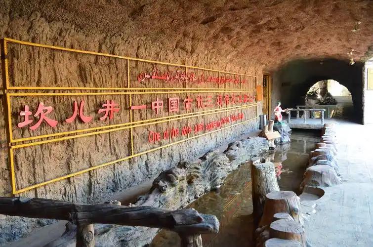
Two unglamorous systems carried the whole enterprise. The first is the Bactrian camel, which can go several days without water, carry around 150-200 kg, and sense a sandstorm before its handlers do. The second is the karez: a network of gently sloping underground channels that move meltwater tens of kilometres from the mountain foot to the fields, underground the whole way so almost nothing evaporates. Turpan’s karez system runs to thousands of kilometres in total length. Without it there is no Turpan, and without Turpan there is no northern route.
Sites You Can Visit Today
| Site | Where | Period | Go if you want |
|---|---|---|---|
| Jiaohe Ancient City | Turpan | 2nd c. BCE – 14th c. | The best-preserved earthen city anywhere; carved down into a river island |
| Gaochang Ruins | Turpan | 1st c. BCE – 14th c. | Scale; a walled capital you cross on foot or by donkey cart |
| Kizil Grottoes | Kuqa | 3rd – 9th c. | Actual surviving Buddhist murals in situ |
| Bezeklik Caves | Turpan | 5th – 14th c. | Setting and history; the murals are in foreign museums |
| Subash Temple Ruins | Kuqa | 3rd – 9th c. | A monastic city, largely empty of visitors |
| Beiting Ancient City | Jimsar | 7th – 14th c. | Tang frontier administration north of the mountains |
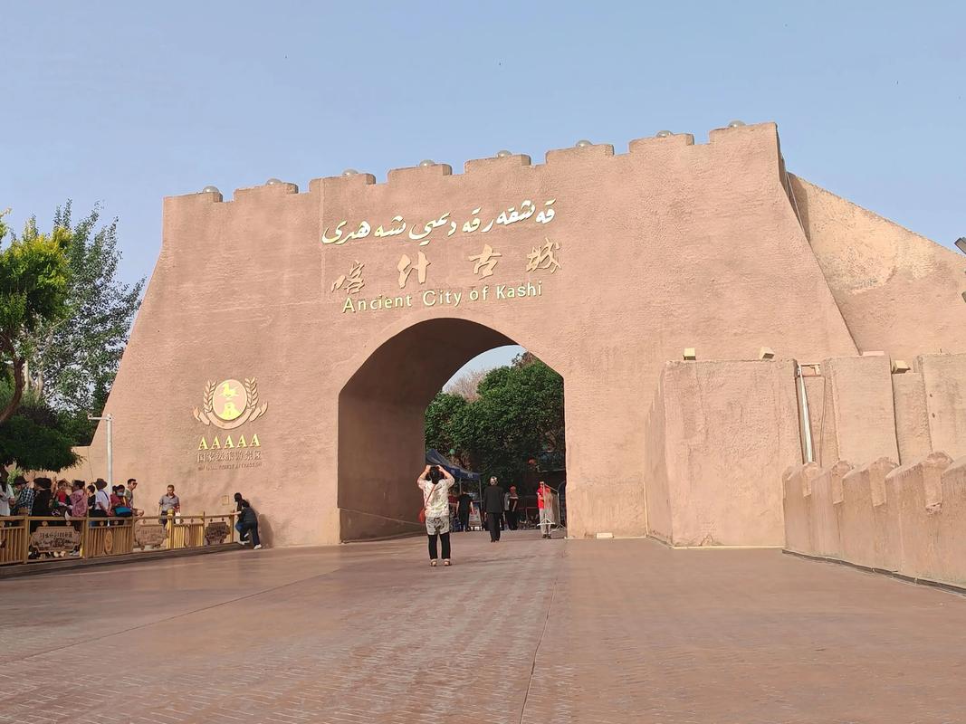
| Kashgar Old City | Kashgar | Continuously inhabited | A living oasis town rather than a ruin |
| Hotan | Hotan | Ancient Khotan | Jade, silk workshops, the southern route’s wealthiest kingdom |
| Xinjiang Museum | Urumqi | All periods | Context, textiles, documents and the desert-preserved mummies |
Miran, Loulan and Niya are a different category. They sit deep in restricted desert terrain, require permits and specialist logistics, and are not day trips. Read about them, and see the finds in Urumqi.
How We Would Sequence It
Chronological order and travel order are not the same thing. The route that works logistically is the northern arc, and it happens to move roughly forward in time:
- Urumqi, one day. Museum first. Everything afterwards means more.
- Turpan, two days. Jiaohe, Gaochang, Bezeklik, a karez site. The densest concentration of ruins in the province.
- Kuqa, two days. Qiuci heritage, Kizil, Subash. The Buddhist heart of the Tarim.
- Kashgar, two to three days. The old city, the Sunday livestock market, the convergence point of both routes.
- Optional: Hotan, two days. Jade, atlas silk, and the southern route’s character. Also the base for buying jade sensibly.
Trains link Urumqi, Turpan, Kuqa and Kashgar, so this works without a car. Nine to eleven days is comfortable; seven is tight but possible if you drop Hotan.
Frequently Asked Questions
Was there really a single Silk Road?
No. It is a modern label for a changing web of routes. Few merchants travelled the whole distance; goods were relayed between intermediaries, and Sogdians handled much of the middle section.
Which Xinjiang Silk Road site is the single best?
Jiaohe, for most visitors. It is the most complete, the most legible on the ground, and the easiest to reach from Turpan.
Do I need a guide for the historic sites?
For the ruins, strongly recommended. Interpretive signage is thin and inconsistent in English, and an empty earthen city is hard to read without help. Museums are fine independently.
Why are so many artefacts in European museums?
Expeditions between roughly 1895 and 1915 removed manuscripts, murals and sculpture under agreements that would not be granted today. The material is split among Berlin, London, Paris, Saint Petersburg, Tokyo, Delhi and Seoul, and repatriation remains an open dispute.
How much of this can I see in one week?
Urumqi, Turpan and Kashgar comfortably. Adding Kuqa makes it rushed. Do not attempt the southern desert sites on a first trip.
Is the Belt and Road Initiative the same thing?
It borrows the imagery. The BRI is a contemporary infrastructure and investment programme, and Xinjiang is again a land corridor westward, but the comparison is rhetorical rather than a continuation of the historical trade system.
Disclaimer
Dates for the oasis kingdoms and cave complexes are drawn from published archaeological and textual scholarship and are debated in detail among specialists; ranges given here are conventional rather than definitive. Site access, permit requirements and opening arrangements change, and several southern-route locations are not open to general visitors. Verify current conditions before planning travel around any specific site.
About the Author
Liam Foster covers Silk Road archaeology and frontier history for Xinjiang Attractions, with repeated field visits along the Turpan and Kuqa circuits. He cross-references site material against museum catalogues and excavation literature. Further reading: Kizil Grottoes, Miran Ruins and Turpan city guide.